 |
|
|
|
|
|
Location &
QuickFacts
|
FAA
Information Effective: |
2008-09-25 |
|
Airport
Identifier: |
LA42 |
|
Airport
Status: |
Operational |
|
Longitude/Latitude: |
090-55-20.3580W/30-21-00.6950N
-90.922322/30.350193 (Estimated) |
|
Elevation: |
24 ft / 7.32 m (Estimated) |
|
Land: |
67 acres |
|
From
nearest city: |
3 nautical miles NE of Prairieville, LA |
|
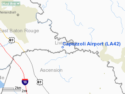
Location: |
East Baton Rouge Parish, LA |
|
Magnetic Variation: |
03E (1985) |
Owner & Manager
|
Ownership: |
Privately owned |
|
Owner: |
Dr Louis J Capozzoli |
|
Address: |
23548 Hoo Shoo Too Rd
Baton Rouge, LA 70817-8317 |
|
Phone
number: |
225-753-1467 |
|
Manager: |
Dr Louis J Capozzoli |
|
Address: |
23548 Hoo Shoo Too Rd
Baton Rouge, LA 70817-8317 |
|
Phone number: |
225-753-1467 |
Airport Operations and Facilities
|
Airport Use: |
Private |
|
Wind indicator: |
No |
|
Segmented Circle: |
No |
|
Control Tower: |
No |
|
Landing fee charge: |
No |
|
Sectional chart: |
New Orleans |
|
Region: |
ASW - Southwest |
|
Boundary ARTCC: |
ZHU - Houston |
|
Tie-in FSS: |
DRI - De Ridder |
|
FSS on Airport: |
No |
|
FSS Toll Free: |
1-800-WX-BRIEF |
Airport Services
|
Airframe
Repair: |
NONE |
|
Power
Plant Repair: |
NONE |
|
Runway Information
Runway 18/36
|
Dimension: |
3100 x 20 ft / 944.9 x 6.1 m |
|
Surface: |
ASPH, Good Condition |
|
|
Runway 18
|
Runway 36
|
|
Traffic
Pattern: |
Left |
Left |
|
Obstruction: |
60 ft trees, 100.0 ft from runway |
|
|
Radio Navigation Aids
|
ID |
Type |
Name |
Ch |
Freq |
Var |
Dist |
|
MS |
NDB |
Kinte |
|
338.00 |
03E |
33.4 nm |
|
HZ |
NDB |
Hazer |
|
356.00 |
04E |
33.9 nm |
|
PTN |
NDB |
Patterson |
|
245.00 |
01E |
43.9 nm |
|
HMU |
VOR |
Hammond |
|
109.60 |
03E |
28.1 nm |
|
RQR |
VOR/DME |
Reserve |
045X |
110.80 |
02E |
23.4 nm |
|
BTR |
VORTAC |
Baton Rouge |
112X |
116.50 |
06E |
20.9 nm |
|
TBD |
VORTAC |
Tibby |
057X |
112.00 |
02E |
41.5 nm |
Based Aircraft
|
Aircraft based
on field: |
1 |
|
Single Engine
Airplanes: |
1 |
Capozzoli Airport
Address:
East Baton Rouge Parish, LA
Tel:
225-753-1467
Images
and information placed above are from
http://www.airport-data.com/airport/LA42/
We
thank them for the data!
|
General Info |
| Country |
United
States |
| State |
LOUISIANA |
| FAA ID |
LA42
|
| Latitude |
30-21-00.695N |
|
Longitude |
090-55-20.358W |
|
Elevation |
24 feet
|
| Near
City |
PRAIRIEVILLE |
We don't guarantee the information is fresh and accurate. The data may
be wrong or outdated.
For more up-to-date information please refer to other sources.
|
|


