 |
|
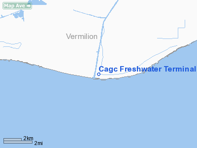
Cagc Freshwater Terminal Heliport |
Location &
QuickFacts
|
FAA
Information Effective: |
2008-09-25 |
|
Airport
Identifier: |
6LA7 |
|
Airport
Status: |
Operational |
|
Longitude/Latitude: |
092-18-10.4780W/29-32-15.7930N
-92.302911/29.537720 (Estimated) |
|
Elevation: |
4 ft / 1.22 m (Estimated) |
|
Land: |
0 acres |
|
From
nearest city: |
9 nautical miles SE of Pecan Island, LA |
|
Location: |
Vermilion Parish, LA |
|
Magnetic Variation: |
04E (1985) |
Owner & Manager
|
Ownership: |
Privately owned |
|
Owner: |
Conoco, Inc. |
|
Address: |
202 Rue Iberville
Lafayette, LA 70508 |
|
Phone number: |
318-893-1882 |
|
Manager: |
Bob Yonts |
|
Address: |
202 Rue Iberville
Lafayette, LA 70508 |
|
Phone number: |
318-893-1882 |
Airport Operations and Facilities
|
Airport Use: |
Private |
|
Wind indicator: |
Yes |
|
Segmented Circle: |
No |
|
Control Tower: |
No |
|
Landing fee charge: |
No |
|
Sectional chart: |
Houston |
|
Region: |
ASW - Southwest |
|
Boundary ARTCC: |
ZHU - Houston |
|
Tie-in FSS: |
DRI - De Ridder |
|
FSS on Airport: |
No |
|
FSS Toll Free: |
1-800-WX-BRIEF |
Airport Services
|
Airframe
Repair: |
NONE |
|
Power
Plant Repair: |
NONE |
|
Runway Information
Helipad H1
|
Dimension: |
50 x 40 ft / 15.2 x 12.2 m |
|
Surface: |
GRAVEL, |
|
|
Runway H1
|
Runway
|
|
Traffic
Pattern: |
Left |
Left |
|
Radio Navigation Aids
|
ID |
Type |
Name |
Ch |
Freq |
Var |
Dist |
|
AR |
NDB |
Acadi |
|
269.00 |
03E |
34.0 nm |
|
LLA |
VOR/DME |
White Lake |
041X |
110.40 |
04E |
8.4 nm |
|
LFT |
VORTAC |
Lafayette |
035X |
109.80 |
03E |
42.6 nm |
Cagc Freshwater Terminal Heliport
Address:
Vermilion Parish, LA
Tel:
318-893-1882
Images
and information placed above are from
http://www.airport-data.com/airport/6LA7/
We
thank them for the data!
|
General Info |
| Country |
United
States |
| State |
LOUISIANA |
| FAA ID |
6LA7
|
| Latitude |
29-32-15.793N |
|
Longitude |
092-18-10.478W |
|
Elevation |
4 feet
|
| Near
City |
PECAN
ISLAND |
We don't guarantee the information is fresh and accurate. The data may
be wrong or outdated.
For more up-to-date information please refer to other sources.
|
|


