 |
|
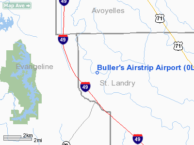
Buller's Airstrip Airport |
Location &
QuickFacts
|
FAA
Information Effective: |
2008-09-25 |
|
Airport
Identifier: |
0LS4 |
|
Airport
Status: |
Operational |
|
Longitude/Latitude: |
092-11-16.6400W/30-48-31.3000N
-92.187956/30.808694 (Estimated) |
|
Elevation: |
47 ft / 14.33 m (Estimated) |
|
Land: |
2 acres |
|
From
nearest city: |
11 nautical miles E of Bunkie, LA |
|
Location: |
St Landry Parish, LA |
|
Magnetic Variation: |
03E (1995) |
Owner & Manager
|
Ownership: |
Privately owned |
|
Owner: |
Danny Buller Jr |
|
Address: |
368 Hwy 167
Opelousas, LA 70570 |
|
Phone number: |
337-826-3700
337-945-7562 (CELL) |
|
Manager: |
Danny Buller, Jr |
|
Address: |
368 Hwy 167
Opelousas, LA 70570 |
|
Phone number: |
337-826-3700
337-945-7562 (CELL) |
Airport
Operations and Facilities
|
Airport
Use: |
Private |
|
Segmented Circle: |
No |
|
Control
Tower: |
No |
|
Sectional chart: |
Houston |
|
Region: |
ASW - Southwest |
|
Boundary
ARTCC: |
ZHU - Houston |
|
Tie-in
FSS: |
DRI - De Ridder |
|
FSS on
Airport: |
No |
|
FSS Toll
Free: |
1-800-WX-BRIEF |
|
Runway Information
Runway 04/22
|
Dimension: |
1700 x 60 ft / 518.2 x 18.3 m |
|
Surface: |
TURF, Good Condition |
|
|
Runway 04
|
Runway 22
|
|
Traffic
Pattern: |
Left |
Left |
|
Radio Navigation Aids
|
ID |
Type |
Name |
Ch |
Freq |
Var |
Dist |
|
BWK |
NDB |
Bunkie |
|
397.00 |
03E |
4.2 nm |
|
OPL |
NDB |
St Landry |
|
335.00 |
04E |
10.3 nm |
|
MKV |
NDB |
Marksville |
|
347.00 |
02E |
18.2 nm |
|
ECY |
NDB |
Eunice |
|
263.00 |
02E |
20.1 nm |
|
LRR |
NDB |
Allen Parish |
|
379.00 |
03E |
27.8 nm |
|
HZ |
NDB |
Hazer |
|
356.00 |
04E |
37.6 nm |
|
AEX |
VORTAC |
Alexandria |
108X |
116.10 |
03E |
31.4 nm |
|
LFT |
VORTAC |
Lafayette |
035X |
109.80 |
03E |
38.3 nm |
Remarks
-
PRVDD OPNL LETTER
OF AGRMT WITH OWNER OF BUNKIE FLYING SVC ADHERED TO.
Buller's Airstrip Airport
Address:
St Landry Parish, LA
Tel:
337-826-3700, 337-945-7562
Images
and information placed above are from
http://www.airport-data.com/airport/0LS4/
We
thank them for the data!
|
General Info |
| Country |
United
States |
| State |
LOUISIANA |
| FAA ID |
0LS4
|
| Latitude |
30-48-31.300N |
|
Longitude |
092-11-16.640W |
|
Elevation |
47 feet
|
| Near
City |
BUNKIE
|
We don't guarantee the information is fresh and accurate. The data may
be wrong or outdated.
For more up-to-date information please refer to other sources.
|
|


