 |
|
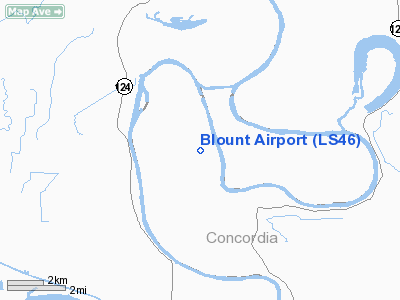
Location &
QuickFacts
|
FAA
Information Effective: |
2008-09-25 |
|
Airport
Identifier: |
LS46 |
|
Airport
Status: |
Operational |
|
Longitude/Latitude: |
091-49-22.4500W/31-27-30.6310N
-91.822903/31.458509 (Estimated) |
|
Elevation: |
50 ft / 15.24 m (Estimated) |
|
Land: |
4 acres |
|
From
nearest city: |
12 nautical miles SE of Monterey, LA |
|
Location: |
Concordia Parish, LA |
|
Magnetic Variation: |
04E (1985) |
Owner & Manager
|
Ownership: |
Privately owned |
|
Owner: |
Roy M Blount |
|
Address: |
Hc 73 Box 126a
Monterey, LA 71354 |
|
Phone
number: |
318-386-7464 |
|
Manager: |
Roy Blount |
|
Address: |
Hc 73 Box 126a
Monterey, LA 71354 |
|
Phone number: |
318-386-7464 |
Airport Operations and Facilities
|
Airport Use: |
Private |
|
Wind indicator: |
Yes |
|
Segmented Circle: |
No |
|
Control Tower: |
No |
|
Sectional chart: |
Houston |
|
Region: |
ASW - Southwest |
|
Boundary ARTCC: |
ZHU - Houston |
|
Tie-in FSS: |
DRI - De Ridder |
|
FSS Toll Free: |
1-800-WX-BRIEF |
Airport Services
|
Runway Information
Runway 11/29
|
Dimension: |
2500 x 80 ft / 762.0 x 24.4 m |
|
Surface: |
TURF, |
|
|
Runway 11
|
Runway 29
|
|
Traffic
Pattern: |
Left |
Left |
|
Displaced
threshold: |
0.00 ft |
500.00 ft |
|
Radio Navigation Aids
|
ID |
Type |
Name |
Ch |
Freq |
Var |
Dist |
|
MKV |
NDB |
Marksville |
|
347.00 |
02E |
25.3 nm |
|
HAH |
NDB |
Natchez-adams County |
|
388.00 |
03E |
30.5 nm |
|
BWK |
NDB |
Bunkie |
|
397.00 |
03E |
41.5 nm |
|
HEZ |
VOR/DME |
Natchez |
037X |
110.00 |
03E |
28.5 nm |
|
AEX |
VORTAC |
Alexandria |
108X |
116.10 |
03E |
36.9 nm |
Remarks
-
PROVIDED PLINE BE
OBSTRUCTION MARKED; 2 ROWS OF TREES ARE REMOVED; THRS DSPLCD TO PROVIDE 20:1
CLNC
Based Aircraft
|
Aircraft based
on field: |
1 |
|
Single Engine
Airplanes: |
1 |
Blount Airport
Address:
Concordia Parish, LA
Tel:
318-386-7464
Images
and information placed above are from
http://www.airport-data.com/airport/LS46/
We
thank them for the data!
|
General Info |
| Country |
United
States |
| State |
LOUISIANA |
| FAA ID |
LS46
|
| Latitude |
31-27-30.631N |
|
Longitude |
091-49-22.450W |
|
Elevation |
50 feet
|
| Near
City |
MONTEREY
|
We don't guarantee the information is fresh and accurate. The data may
be wrong or outdated.
For more up-to-date information please refer to other sources.
|
|


