 |
|
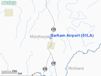
Location &
QuickFacts
|
FAA
Information Effective: |
2008-09-25 |
|
Airport
Identifier: |
01LA |
|
Airport
Status: |
Operational |
|
Longitude/Latitude: |
091-46-25.4500W/32-38-20.4970N
-91.773736/32.639027 (Estimated) |
|
Elevation: |
90 ft / 27.43 m (Estimated) |
|
Land: |
0 acres |
|
From
nearest city: |
1 nautical miles N of Oak Ridge, LA |
|
Location: |
Morehouse Parish, LA |
|
Magnetic Variation: |
04E (1985) |
Owner & Manager
|
Ownership: |
Privately owned |
|
Owner: |
Barham Inc |
|
Address: |
Box 26
Oak Ridge, LA 71264 |
|
Manager: |
Anderson W Barham |
|
Address: |
Box 99
Oak Ridge, LA 71264 |
|
Phone number: |
318-244-6551 |
Airport
Operations and Facilities
|
Airport
Use: |
Private |
|
Wind
indicator: |
No |
|
Segmented Circle: |
No |
|
Control
Tower: |
No |
|
Landing
fee charge: |
No |
|
Sectional chart: |
Memphis |
|
Region: |
ASW - Southwest |
|
Boundary
ARTCC: |
ZME - Memphis |
|
Responsible ARTCC: |
ZFW - Fort Worth |
|
Tie-in
FSS: |
DRI - De Ridder |
|
FSS on
Airport: |
No |
|
FSS Toll
Free: |
1-800-WX-BRIEF |
|
Runway Information
Runway 09/27
|
Dimension: |
2000 x 60 ft / 609.6 x 18.3 m |
|
Surface: |
TURF, |
|
|
Runway 09
|
Runway 27
|
|
Traffic
Pattern: |
Left |
Left |
|
Obstruction: |
|
75 ft tower, 100.0 ft from runway |
|
Radio Navigation Aids
|
ID |
Type |
Name |
Ch |
Freq |
Var |
Dist |
|
BQP |
NDB |
Bastrop |
|
329.00 |
03E |
8.9 nm |
|
MRK |
NDB |
Molly Ridge |
|
338.00 |
02E |
14.0 nm |
|
BLE |
NDB |
Lake Providence |
|
278.00 |
03E |
31.7 nm |
|
ROQ |
NDB |
Ruston |
|
368.00 |
03E |
41.3 nm |
|
TUF |
NDB |
Stuckey |
|
350.00 |
03E |
43.6 nm |
|
TV |
NDB |
Savry |
|
344.00 |
02E |
44.7 nm |
|
VKS |
NDB |
Vicksburg |
|
382.00 |
03E |
49.4 nm |
|
MLU |
VORTAC |
Monroe |
119X |
117.20 |
03E |
15.2 nm |
Remarks
-
PVT USE; A MIN OF
20:1 GLIDE SLOPE IS MAINTAINED FOR EACH RWY END AND IS ATTAINED BY REMOVAL OF
OBSTRUCTIONS OR BY DISPLACEMENT OF RWY THRS.
Based Aircraft
|
Aircraft based
on field: |
1 |
|
Single Engine
Airplanes: |
1 |
Barham Airport
Address:
Morehouse Parish, LA
Tel:
318-244-6551
Images
and information placed above are from
http://www.airport-data.com/airport/01LA/
We
thank them for the data!
|
General Info |
| Country |
United
States |
| State |
LOUISIANA |
| FAA ID |
01LA
|
| Latitude |
32-38-20.497N |
|
Longitude |
091-46-25.450W |
|
Elevation |
90 feet
|
| Near
City |
OAK
RIDGE |
We don't guarantee the information is fresh and accurate. The data may
be wrong or outdated.
For more up-to-date information please refer to other sources.
|
|


