 |
|
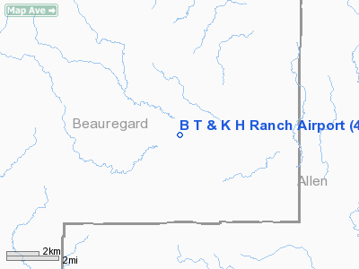
B T And K H Ranch Airport |
Location &
QuickFacts
|
FAA
Information Effective: |
2008-09-25 |
|
Airport
Identifier: |
44LA |
|
Airport
Status: |
Operational |
|
Longitude/Latitude: |
093-03-18.5590W/30-38-50.7110N
-93.055155/30.647420 (Estimated) |
|
Elevation: |
110 ft / 33.53 m (Estimated) |
|
Land: |
0 acres |
|
From
nearest city: |
2 nautical miles SW of Dry Creek, LA |
|
Location: |
Beauregard Parish, LA |
|
Magnetic Variation: |
05E (1985) |
Owner & Manager
|
Ownership: |
Privately owned |
|
Owner: |
B.t. Heard |
|
Address: |
Po Box 335
Dry Creek, LA 70637 |
|
Phone
number: |
318-328-7372 |
|
Manager: |
B.t. Heard |
|
Address: |
Po Box 335
Dry Creek, LA 70637 |
|
Phone number: |
318-328-7372 |
Airport Operations and Facilities
|
Airport
Use: |
Private |
|
Wind
indicator: |
No |
|
Segmented Circle: |
No |
|
Control
Tower: |
No |
|
Landing
fee charge: |
No |
|
Sectional chart: |
Houston |
|
Region: |
ASW - Southwest |
|
Boundary
ARTCC: |
ZHU - Houston |
|
Tie-in
FSS: |
DRI - De Ridder |
|
FSS Toll
Free: |
1-800-WX-BRIEF |
|
Runway
Information
Runway E/W
|
Dimension: |
3400 x 160 ft / 1036.3 x 48.8 m |
|
Surface: |
TURF, |
|
|
Runway E
|
Runway W
|
|
Traffic
Pattern: |
Left |
Left |
|
Obstruction: |
50 ft trees |
50 ft trees |
|
Radio Navigation Aids
|
ID |
Type |
Name |
Ch |
Freq |
Var |
Dist |
|
POE |
FAN MARKER |
South |
|
|
07E |
20.7 nm |
|
POE1 |
FAN MARKER |
North |
|
|
07E |
29.1 nm |
|
DR |
NDB |
Idder |
|
385.00 |
04E |
15.8 nm |
|
LRR |
NDB |
Allen Parish |
|
379.00 |
03E |
18.9 nm |
|
GUV |
NDB |
Gator |
|
359.00 |
05E |
23.8 nm |
|
DQU |
NDB |
De Quincy |
|
410.00 |
05E |
24.8 nm |
|
VED |
NDB |
Leesville |
|
247.00 |
04E |
31.1 nm |
|
ECY |
NDB |
Eunice |
|
263.00 |
02E |
31.8 nm |
|
UX |
NDB |
Sulfy |
|
278.00 |
04E |
33.0 nm |
|
BWK |
NDB |
Bunkie |
|
397.00 |
03E |
44.4 nm |
|
OPL |
NDB |
St Landry |
|
335.00 |
04E |
49.5 nm |
|
FXU |
VORTAC |
Polk |
021X |
108.40 |
05E |
29.1 nm |
|
LCH |
VORTAC |
Lake Charles |
081X |
113.40 |
07E |
30.5 nm |
|
AEX |
VORTAC |
Alexandria |
108X |
116.10 |
03E |
46.4 nm |
Remarks
-
OWNER DESIRES
ARPT NOT BE CHARTED.
Based Aircraft
|
Aircraft based
on field: |
1 |
|
Single Engine
Airplanes: |
1 |
B T And K H Ranch Airport
Address:
Beauregard Parish, LA
Tel:
318-328-7372
Images
and information placed above are from
http://www.airport-data.com/airport/44LA/
We
thank them for the data!
|
General Info |
| Country |
United
States |
| State |
LOUISIANA |
| FAA ID |
44LA
|
| Latitude |
30-38-50.711N |
|
Longitude |
093-03-18.559W |
|
Elevation |
110 feet
|
| Near
City |
DRY
CREEK |
We don't guarantee the information is fresh and accurate. The data may
be wrong or outdated.
For more up-to-date information please refer to other sources.
|
|


