 |
|
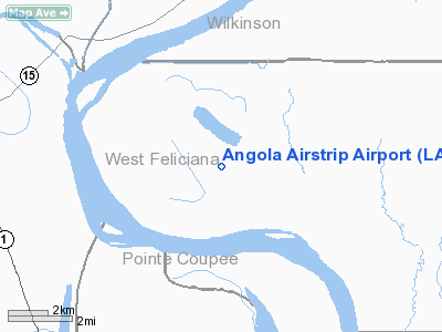
Location &
QuickFacts
|
FAA
Information Effective: |
2008-09-25 |
|
Airport
Identifier: |
LA67 |
|
Airport
Status: |
Operational |
|
Longitude/Latitude: |
091-35-05.4210W/30-57-05.6440N
-91.584839/30.951568 (Estimated) |
|
Elevation: |
45 ft / 13.72 m (Estimated) |
|
Land: |
0 acres |
|
From
nearest city: |
1 nautical miles W of Angola, LA |
|
Location: |
West Feliciana Parish, LA |
|
Magnetic Variation: |
04E (1985) |
Owner & Manager
|
Ownership: |
Publicly owned |
|
Owner: |
State Of Louisiana |
|
Address: |
|
|
Manager: |
Warden |
|
Address: |
La State Pen.
Angola, LA 70712 |
|
Phone number: |
504-655-4411 |
Airport Operations and Facilities
|
Airport Use: |
Private |
|
Wind indicator: |
Yes |
|
Segmented Circle: |
No |
|
Control Tower: |
No |
|
Landing fee charge: |
No |
|
Sectional chart: |
Houston |
|
Region: |
ASW - Southwest |
|
Boundary ARTCC: |
ZHU - Houston |
|
Tie-in FSS: |
DRI - De Ridder |
|
FSS on Airport: |
No |
|
FSS Toll Free: |
1-800-WX-BRIEF |
Airport Services
|
Airframe
Repair: |
NONE |
|
Power
Plant Repair: |
NONE |
|
Runway Information
Helipad H1
|
Dimension: |
50 x 40 ft / 15.2 x 12.2 m |
|
Surface: |
CONC, |
|
|
Runway H1
|
Runway
|
|
Traffic
Pattern: |
Left |
Left |
|
Runway N/S
|
Dimension: |
2800 x 90 ft / 853.4 x 27.4 m |
|
Surface: |
TURF, |
|
|
Runway N
|
Runway S
|
|
Traffic
Pattern: |
Left |
Left |
|
Radio Navigation Aids
|
ID |
Type |
Name |
Ch |
Freq |
Var |
Dist |
|
HZ |
NDB |
Hazer |
|
356.00 |
04E |
19.8 nm |
|
MKV |
NDB |
Marksville |
|
347.00 |
02E |
26.6 nm |
|
OPL |
NDB |
St Landry |
|
335.00 |
04E |
31.9 nm |
|
BWK |
NDB |
Bunkie |
|
397.00 |
03E |
33.9 nm |
|
HAH |
NDB |
Natchez-adams County |
|
388.00 |
03E |
46.9 nm |
|
HEZ |
VOR/DME |
Natchez |
037X |
110.00 |
03E |
42.7 nm |
|
BTR |
VORTAC |
Baton Rouge |
112X |
116.50 |
06E |
31.8 nm |
Remarks
-
THIS AIRSTRIP IS
USED ONLY FOR STATE OWNED PLANES FOR INMATES TO/FROM ANGOLA & FOR VISITING
OFFLS ON STATE BUS DUR DAYLGT & VFR.
-
EXISTED PRIOR TO 1959.
Angola Airstrip Airport
Address:
West Feliciana Parish, LA
Tel:
504-655-4411
Images
and information placed above are from
http://www.airport-data.com/airport/LA67/
We
thank them for the data!
|
General Info |
| Country |
United
States |
| State |
LOUISIANA |
| FAA ID |
LA67
|
| Latitude |
30-57-05.644N |
|
Longitude |
091-35-05.421W |
|
Elevation |
45 feet
|
| Near
City |
ANGOLA
|
We don't guarantee the information is fresh and accurate. The data may
be wrong or outdated.
For more up-to-date information please refer to other sources.
|
|


