 |
|
|
|
|
|
|
Location &
QuickFacts
|
FAA
Information Effective: |
2008-09-25 |
|
Airport
Identifier: |
24KY |
|
Airport
Status: |
Operational |
|
Longitude/Latitude: |
087-25-49.9940W/37-13-00.1590N
-87.430554/37.216711 (Estimated) |
|
Elevation: |
415 ft / 126.49 m (Estimated) |
|
Land: |
0 acres |
|
From
nearest city: |
3 nautical miles SE of Mortons Gap, KY |
|
Location: |
Hopkins County, KY |
|
Magnetic Variation: |
00W (1985) |
Owner & Manager
|
Ownership: |
Privately owned |
|
Owner: |
Herbert Chaney |
|
Address: |
320 E. Rosedale Lane
Dawson, Springs, KY 42408 |
|
Phone
number: |
502-797-3521
NIGHT PHONE 502-797-4561 |
|
Manager: |
Herbert Chaney |
|
Address: |
320 Rosedale Land
Dawson Springs, KY 42408 |
|
Phone number: |
502-791-4561 |
Airport Operations and Facilities
|
Airport Use: |
Private |
|
Wind indicator: |
Yes |
|
Segmented Circle: |
No |
|
Control Tower: |
No |
|
Landing fee charge: |
No |
|
Sectional chart: |
St Louis |
|
Region: |
ASO - Southern |
|
Boundary ARTCC: |
ZME - Memphis |
|
Tie-in FSS: |
LOU - Louisville |
|
FSS on Airport: |
No |
|
FSS Toll Free: |
1-800-WX-BRIEF |
Airport Services
|
Airframe
Repair: |
NONE |
|
Power
Plant Repair: |
NONE |
|
Runway
Information
Runway N/S
|
Dimension: |
2200 x 80 ft / 670.6 x 24.4 m |
|
Surface: |
TURF, |
|
|
Runway N
|
Runway S
|
|
Traffic
Pattern: |
Left |
Left |
|
Radio Navigation Aids
|
ID |
Type |
Name |
Ch |
Freq |
Var |
Dist |
|
GMH |
NDB |
Muhlenberg |
|
362.00 |
01E |
13.0 nm |
|
HIX |
NDB |
Honey Grove |
|
356.00 |
01W |
20.7 nm |
|
FK |
NDB |
Airbe |
|
273.00 |
01W |
28.8 nm |
|
TWT |
NDB |
Tradewater |
|
276.00 |
00E |
28.9 nm |
|
GVA |
NDB |
Geneva |
|
224.00 |
01W |
38.8 nm |
|
PED |
NDB |
Needmore |
|
221.00 |
01W |
47.8 nm |
|
PDW |
NDB |
Evansville |
|
284.00 |
00E |
49.7 nm |
|
HXW |
TACAN |
Screaming Eagle |
096X |
|
01W |
32.7 nm |
|
OWB |
VOR/DME |
Owensboro |
023X |
108.60 |
01E |
34.1 nm |
|
CKV |
VOR/DME |
Clarksville |
043X |
110.60 |
01W |
35.8 nm |
|
CCT |
VORTAC |
Central City |
035X |
109.80 |
01W |
12.8 nm |
|
PXV |
VORTAC |
Pocket City |
080X |
113.30 |
03E |
45.6 nm |
Remarks
-
VFR ONLY; LANDING
AREA LIMITED TO PERSONAL USE OF SPONSOR.
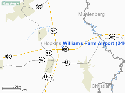
Williams Farm Airport
Address:
Hopkins County, KY
Tel:
502-797-3521,
502-791-4561
Images
and information placed above are from
http://www.airport-data.com/airport/24KY/
We
thank them for the data!
|
General Info |
| Country |
United
States |
| State |
KENTUCKY
|
| FAA ID |
24KY
|
| Latitude |
37-13-00.159N |
|
Longitude |
087-25-49.994W |
|
Elevation |
415 feet
|
| Near
City |
MORTONS
GAP |
We don't guarantee the information is fresh and accurate. The data may
be wrong or outdated.
For more up-to-date information please refer to other sources.
|
|


