 |
|
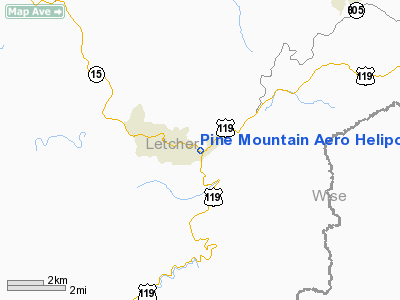
Pine Mountain Aero Heliport |
|
Location &
QuickFacts
|
FAA
Information Effective: |
2008-09-25 |
|
Airport
Identifier: |
0KY9 |
|
Airport
Status: |
Operational |
|
Longitude/Latitude: |
082-48-13.0000W/37-06-49.0000N
-82.803611/37.113611 (Estimated) |
|
Elevation: |
1300 ft / 396.24 m (Estimated) |
|
Land: |
2 acres |
|
From
nearest city: |
1 nautical miles E of Whitesburg, KY |
|
Location: |
Letcher County, KY |
|
Magnetic Variation: |
04W (1990) |
Owner & Manager
|
Ownership: |
Privately owned |
|
Owner: |
Pine Mountain Aero Inc. |
|
Address: |
312 Madison St.
Whitesburg, KY 41858 |
|
Phone number: |
606-633-9319 |
|
Manager: |
Vernard Whitaker |
|
Address: |
312 Madison St.
Whitesburg, KY 41858 |
|
Phone number: |
606-633-0716 |
Airport
Operations and Facilities
|
Airport
Use: |
Private |
|
Wind
indicator: |
Yes |
|
Segmented Circle: |
No |
|
Control
Tower: |
No |
|
Lighting
Schedule: |
PHONE REQ
FOR FLOODLIGHTS CALL 606-633-9319/0716. |
|
Sectional chart: |
Cincinnati |
|
Region: |
ASO - Southern |
|
Boundary ARTCC: |
ZID - Indianapolis |
|
Tie-in FSS: |
LOU - Louisville |
|
FSS Toll Free: |
1-800-WX-BRIEF |
Airport Services
|
Runway Information
Helipad H1
|
Dimension: |
30 x 30 ft / 9.1 x 9.1 m |
|
Surface: |
CONC, |
|
|
Runway H1
|
Runway
|
|
Traffic
Pattern: |
Left |
Left |
|
Radio Navigation Aids
|
ID |
Type |
Name |
Ch |
Freq |
Var |
Dist |
|
LQV |
NDB |
Long Hollow |
|
252.00 |
03W |
27.7 nm |
|
RVN |
NDB |
Rogersville |
|
329.00 |
04W |
39.7 nm |
|
BO |
NDB |
Booie |
|
221.00 |
04W |
45.4 nm |
|
VJ |
NDB |
Whine |
|
236.00 |
05W |
47.0 nm |
|
AZQ |
VOR/DME |
Hazard |
049X |
111.20 |
04W |
27.6 nm |
|
GZG |
VOR/DME |
Glade Spring |
039X |
110.20 |
02W |
38.9 nm |
Remarks
-
PRVDD VFR PVT
USE, APCH/DEP OPS 280-310 & 100-130 TKOF/LDG AREAS APPROPRIATELY MKD, WIND
INDICATOR MAINTAINED.
Based Aircraft
|
Aircraft based
on field: |
1 |
|
Helicopters: |
1 |
Pine Mountain Aero Heliport
Address:
Letcher County, KY
Tel:
606-633-9319, 606-633-0716
Images
and information placed above are from
http://www.airport-data.com/airport/0KY9/
We
thank them for the data!
|
General Info |
| Country |
United
States |
| State |
KENTUCKY
|
| FAA ID |
0KY9
|
| Latitude |
37-06-49.000N |
|
Longitude |
082-48-13.000W |
|
Elevation |
1300
feet |
| Near
City |
WHITESBURG |
We don't guarantee the information is fresh and accurate. The data may
be wrong or outdated.
For more up-to-date information please refer to other sources.
|
|


