 |
|
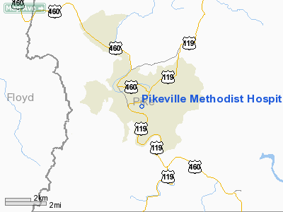
Pikeville Methodist Hospital Heliport |
|
|
|
Location &
QuickFacts
|
FAA
Information Effective: |
2008-09-25 |
|
Airport
Identifier: |
62KY |
|
Airport
Status: |
Operational |
|
Longitude/Latitude: |
082-31-18.0000W/37-28-11.0000N
-82.521667/37.469722 (Estimated) |
|
Elevation: |
819 ft / 249.63 m (Estimated) |
|
Land: |
0 acres |
|
From
nearest city: |
1 nautical miles SE of Pikeville, KY |
|
Location: |
Pike County, KY |
|
Magnetic Variation: |
06W (2000) |
Owner & Manager
|
Ownership: |
Privately owned |
|
Owner: |
Pikeville Methodist Hospital |
|
Address: |
911 Bypass Road
Pikeville, KY 41501 |
|
Phone
number: |
606-437-3500 |
|
Manager: |
Joann Anderson |
|
Address: |
Pikeville Methodist Hospital, 911 Bypass Rd
Pikeville, KY 41501 |
|
Phone number: |
606-437-3500 |
Airport Operations and Facilities
|
Airport
Use: |
Private
MEDICAL USE. |
|
Wind
indicator: |
Yes |
|
Segmented Circle: |
No |
|
Control
Tower: |
No |
|
Lighting
Schedule: |
DUSK-DAWN
FOR PERIMETER LGTS CALL 606-437-3500. |
|
Beacon
Color: |
Clear-Green-Yellow (heliport) |
|
Sectional chart: |
Cincinnati |
|
Region: |
ASO - Southern |
|
Boundary
ARTCC: |
ZID - Indianapolis |
|
Tie-in
FSS: |
LOU - Louisville |
|
FSS Toll
Free: |
1-800-WX-BRIEF |
|
Runway Information
Helipad H1
|
Dimension: |
44 x 44 ft / 13.4 x 13.4 m |
|
Surface: |
CONC, |
|
|
Runway H1
|
Runway
|
|
Traffic
Pattern: |
Left |
Left |
|
Radio Navigation Aids
|
ID |
Type |
Name |
Ch |
Freq |
Var |
Dist |
|
GTC |
NDB |
Guyandot |
|
293.00 |
03W |
34.7 nm |
|
AZQ |
VOR/DME |
Hazard |
049X |
111.20 |
04W |
35.7 nm |
|
GZG |
VOR/DME |
Glade Spring |
039X |
110.20 |
02W |
44.2 nm |
|
ECB |
VORTAC |
Newcombe |
041X |
110.40 |
02W |
45.3 nm |
Remarks
-
OWNER DESIRES
HELIPORT NOT BE CHARTED.
-
PRVDD ALL APCH/DEP
FROM 310-350 DEGS, AREA IS MKD, WIND INDICATOR IS MAINTAINED, VFR OPNS ONLY.
Pikeville Methodist Hospital Heliport
Address:
Pike County, KY
Tel:
606-437-3500
Images
and information placed above are from
http://www.airport-data.com/airport/62KY/
We
thank them for the data!
|
General Info |
| Country |
United
States |
| State |
KENTUCKY
|
| FAA ID |
62KY
|
| Latitude |
37-28-11.000N |
|
Longitude |
082-31-18.000W |
|
Elevation |
819 feet
|
| Near
City |
PIKEVILLE |
We don't guarantee the information is fresh and accurate. The data may
be wrong or outdated.
For more up-to-date information please refer to other sources.
|
|


