Natchez Trace Farm Airport |
|
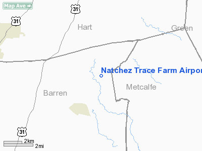
Location &
QuickFacts
|
FAA
Information Effective: |
2008-09-25 |
|
Airport
Identifier: |
04KY |
|
Airport
Status: |
Operational |
|
Longitude/Latitude: |
085-47-21.8960W/37-08-06.1930N
-85.789416/37.135054 (Estimated) |
|
Elevation: |
710 ft / 216.41 m (Estimated) |
|
Land: |
0 acres |
|
From
nearest city: |
3 nautical miles NE of Hiseville, KY |
|
Location: |
Barren County, KY |
|
Magnetic Variation: |
02W (1985) |
Owner & Manager
|
Ownership: |
Privately owned |
|
Owner: |
Lee R. Nunn |
|
Address: |
2741 Hiseviller Park Rd
Cave City, KY 42127 |
|
Phone number: |
502-453-2231 |
|
Address: |
|
Airport Operations and Facilities
|
Airport Use: |
Private |
|
Wind indicator: |
Yes |
|
Segmented Circle: |
No |
|
Control Tower: |
No |
|
Landing fee charge: |
No |
|
Sectional chart: |
St Louis |
|
Region: |
ASO - Southern |
|
Boundary ARTCC: |
ZID - Indianapolis |
|
Tie-in FSS: |
LOU - Louisville |
|
FSS on Airport: |
No |
|
FSS Toll Free: |
1-800-WX-BRIEF |
Airport Services
|
Airframe
Repair: |
NONE |
|
Power
Plant Repair: |
NONE |
|
Runway Information
Runway 15/33
|
Dimension: |
1700 x 30 ft / 518.2 x 9.1 m |
|
Surface: |
ASPH, |
|
|
Runway 15
|
Runway 33
|
|
Traffic
Pattern: |
Left |
Left |
|
Radio Navigation Aids
|
ID |
Type |
Name |
Ch |
Freq |
Var |
Dist |
|
BVQ |
NDB |
Beaver Creek |
|
260.00 |
02W |
12.7 nm |
|
TYC |
NDB |
Taylor County |
|
272.00 |
02W |
30.6 nm |
|
LFB |
NDB |
Lafayette |
|
245.00 |
02W |
39.5 nm |
|
IKY |
NDB |
Springfield |
|
429.00 |
03W |
40.0 nm |
|
BRY |
NDB |
Bardstown/dcmsnd |
|
248.00 |
02W |
45.3 nm |
|
EKQ |
NDB |
Elk Spring |
|
290.00 |
03W |
48.0 nm |
|
EWO |
VOR/DME |
New Hope |
045X |
110.80 |
01E |
30.3 nm |
|
FTK |
VOR/DME |
Fort Knox |
033X |
109.60 |
01W |
47.2 nm |
|
BWG |
VORTAC |
Bowling Green |
126X |
117.90 |
02E |
33.7 nm |
|
LVT |
VORTAC |
Livingston |
021X |
108.40 |
02W |
44.6 nm |
Remarks
Natchez Trace Farm Airport
Address:
Barren County, KY
Tel:
502-453-2231
Images
and information placed above are from
http://www.airport-data.com/airport/04KY/
We
thank them for the data!
|
General Info |
| Country |
United
States |
| State |
KENTUCKY
|
| FAA ID |
04KY
|
| Latitude |
37-08-06.193N |
|
Longitude |
085-47-21.896W |
|
Elevation |
710 feet
|
| Near
City |
HISEVILLE |
We don't guarantee the information is fresh and accurate. The data may
be wrong or outdated.
For more up-to-date information please refer to other sources.
|


