 |
|
Monroe County Medical Center Heliport |
|
|
|
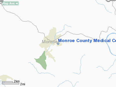
Location &
QuickFacts
|
FAA
Information Effective: |
2008-09-25 |
|
Airport
Identifier: |
1KY3 |
|
Airport
Status: |
Operational |
|
Longitude/Latitude: |
085-40-34.9010W/36-41-53.2080N
-85.676361/36.698113 (Estimated) |
|
Elevation: |
970 ft / 295.66 m (Estimated) |
|
Land: |
0 acres |
|
From
nearest city: |
1 nautical miles W of Tompkinsville, KY |
|
Location: |
Monroe County, KY |
|
Magnetic Variation: |
02W (1990) |
Owner & Manager
|
Ownership: |
Privately owned |
|
Owner: |
Monroe Medical Foundation Inc |
|
Address: |
529 Capp Harlan Road
Tompkinsville, KY 42167 |
|
Phone
number: |
502-487-9231 |
|
Manager: |
John B Millstead - Ceo |
|
Address: |
529 Capp Harlan Road
Tompkinsville, KY 42167 |
|
Phone number: |
502-487-9231 |
Airport Operations and Facilities
|
Airport
Use: |
Private
MEDICAL USE. |
|
Wind
indicator: |
Yes |
|
Segmented Circle: |
No |
|
Control
Tower: |
No |
|
Lighting
Schedule: |
PHONE REQ
FOR PERIMETER LGTS PHONE 502-487-9231. |
|
Sectional chart: |
St Louis |
|
Region: |
ASO - Southern |
|
Boundary
ARTCC: |
ZME - Memphis |
|
Tie-in
FSS: |
LOU - Louisville |
|
FSS on
Airport: |
No |
|
FSS Toll
Free: |
1-800-WX-BRIEF |
|
Runway Information
Helipad H1
|
Dimension: |
50 x 40 ft / 15.2 x 12.2 m |
|
Surface: |
ASPH, |
|
|
Runway H1
|
Runway
|
|
Traffic
Pattern: |
Left |
Left |
|
Radio Navigation Aids
|
ID |
Type |
Name |
Ch |
Freq |
Var |
Dist |
|
LFB |
NDB |
Lafayette |
|
245.00 |
02W |
21.6 nm |
|
BVQ |
NDB |
Beaver Creek |
|
260.00 |
02W |
25.0 nm |
|
EKQ |
NDB |
Elk Spring |
|
290.00 |
03W |
40.8 nm |
|
HEM |
NDB |
Huchn |
|
233.00 |
02W |
42.9 nm |
|
JUE |
NDB |
Lebanon |
|
414.00 |
02W |
43.3 nm |
|
SKN |
NDB |
Hurricane |
|
256.00 |
02W |
43.4 nm |
|
TYC |
NDB |
Taylor County |
|
272.00 |
02W |
47.1 nm |
|
LVT |
VORTAC |
Livingston |
021X |
108.40 |
02W |
25.5 nm |
|
BWG |
VORTAC |
Bowling Green |
126X |
117.90 |
02E |
39.4 nm |
Remarks
-
VFR; PVT USE
ONLY; AREA IS MKD; WIND INDICATOR MAINTAINED; NO LDNG/TKOF IN ADVERSE WEATHER;
OPNS ARE CONDUCTED FROM 170-210 DEGREES & FROM 300-320 DEGREES.
Monroe County Medical Center Heliport
Address:
Monroe County, KY
Tel:
502-487-9231
Images
and information placed above are from
http://www.airport-data.com/airport/1KY3/
We
thank them for the data!
|
General Info |
| Country |
United
States |
| State |
KENTUCKY
|
| FAA ID |
1KY3
|
| Latitude |
36-41-53.208N |
|
Longitude |
085-40-34.901W |
|
Elevation |
970 feet
|
| Near
City |
TOMPKINSVILLE |
We don't guarantee the information is fresh and accurate. The data may
be wrong or outdated.
For more up-to-date information please refer to other sources.
|
|


