|
|
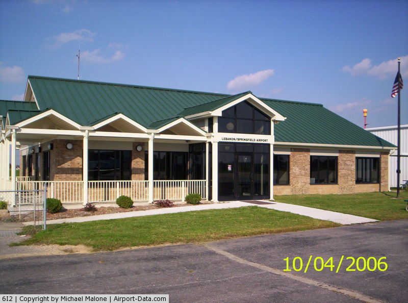
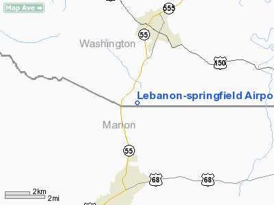
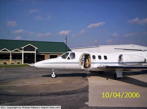
Lebanon-Springfield Airport |
|
 |
(Click on the photo to enlarge) |
|
 |
(Click on the photo to enlarge) |
|
Location &
QuickFacts
|
FAA
Information Effective: |
2008-09-25 |
|
Airport
Identifier: |
6I2 |
|
Airport
Status: |
Operational |
|
Longitude/Latitude: |
085-14-30.6170W/37-38-00.5170N
-85.241838/37.633477 (Estimated) |
|
Elevation: |
866 ft / 263.96 m (Surveyed) |
|
Land: |
112 acres |
|
From
nearest city: |
3 nautical miles S of Springfield, KY |
|
Location: |
Washington County, KY |
|
Magnetic Variation: |
03W (1990) |
Owner & Manager
|
Ownership: |
Publicly owned |
|
Owner: |
Marion-washington Counties |
|
Address: |
Po Box 805
Lebanon, KY 40033 |
|
Phone number: |
859-319-3864 |
|
Manager: |
Jim Tucker |
|
Address: |
650 Airport Lane
Springfield, KY 40069 |
|
Phone number: |
859-336-3818 |
Airport
Operations and Facilities
|
Airport
Use: |
Open to public |
|
Wind
indicator: |
Yes |
|
Segmented Circle: |
Yes |
|
Control
Tower: |
No |
|
Lighting
Schedule: |
DUSK-DAWN |
|
Beacon
Color: |
Clear-Green (lighted land airport) |
|
Landing
fee charge: |
No |
|
Sectional chart: |
St Louis |
|
Region: |
ASO - Southern |
|
Boundary
ARTCC: |
ZID - Indianapolis |
|
Tie-in
FSS: |
LOU - Louisville |
|
FSS on
Airport: |
No |
|
FSS Toll
Free: |
1-800-WX-BRIEF |
|
NOTAMs
Facility: |
LOU (NOTAM-d service avaliable) |
|
Federal Agreements: |
NGVY |
Airport Communications
|
CTAF: |
122.800 |
|
Unicom: |
122.800 |
Airport Services
|
Fuel
available: |
100LLA |
|
Airframe
Repair: |
NONE |
|
Power
Plant Repair: |
NONE |
|
Bottled
Oxygen: |
NONE |
|
Bulk
Oxygen: |
NONE |
|
Runway Information
Runway 11/29
|
Dimension: |
5000 x 75 ft / 1524.0 x 22.9 m |
|
Surface: |
ASPH, Good Condition |
|
Weight Limit: |
Single wheel: 10000 lbs. |
|
Edge Lights: |
Medium |
|
|
Runway 11
|
Runway 29
|
|
Longitude: |
085-15-00.6230W |
085-14-00.6120W |
|
Latitude: |
37-38-06.9520N |
37-37-54.0800N |
|
Elevation: |
826.00 ft |
866.00 ft |
|
Alignment: |
105 |
127 |
|
Traffic
Pattern: |
Left |
Left |
|
Markings: |
Non-precision instrument, Good Condition |
Non-precision instrument, Good Condition |
|
Crossing
Height: |
35.00 ft |
27.00 ft |
|
Displaced
threshold: |
125.00 ft |
200.00 ft |
|
VASI: |
4-light PAPI on left side |
4-light PAPI on left side |
|
Visual
Glide Angle: |
3.00° |
3.30° |
|
Obstruction: |
27 ft trees, 750.0 ft from runway, 200 ft left of
centerline, 20:1 slope to clear
34:1 TO DSPLCD THLD. |
29 ft trees, 490.0 ft from runway, 225 ft left of
centerline, 10:1 slope to clear
110 FT TREES, DIST 2860 FT & 50 FT L, 26:1 BASED ON DSPLCD THLD. |
|
Radio Navigation Aids
|
ID |
Type |
Name |
Ch |
Freq |
Var |
Dist |
|
IKY |
NDB |
Springfield |
|
429.00 |
03W |
0.3 nm |
|
TYC |
NDB |
Taylor County |
|
272.00 |
02W |
13.9 nm |
|
BRY |
NDB |
Bardstown/dcmsnd |
|
248.00 |
02W |
17.2 nm |
|
DVK |
NDB |
Goodall |
|
311.00 |
03W |
23.0 nm |
|
LE |
NDB |
Blayd |
|
242.00 |
04W |
34.8 nm |
|
GOI |
NDB |
Godman |
|
396.00 |
02W |
40.0 nm |
|
FEU |
NDB |
Arnold |
|
521.00 |
03W |
40.3 nm |
|
CDX |
NDB |
Cumberland River |
|
388.00 |
05E |
46.7 nm |
|
FFT |
VOR |
Frankfort |
|
109.40 |
03W |
36.6 nm |
|
EWO |
VOR/DME |
New Hope |
045X |
110.80 |
01E |
20.7 nm |
|
FTK |
VOR/DME |
Fort Knox |
033X |
109.60 |
01W |
38.4 nm |
|
BQM |
VOR/DME |
Bowman |
059X |
112.20 |
01W |
41.1 nm |
|
IIU |
VORTAC |
Louisville |
095X |
114.80 |
01E |
32.4 nm |
|
HYK |
VORTAC |
Lexington |
073X |
112.60 |
00E |
41.7 nm |
|
SDF |
VOT |
Louisville Standifd |
|
111.00 |
|
40.3 nm |
Remarks
-
ULTRA-LIGHT
ACTIVITY INVOF ARPT.
-
VFR USE ONLY.
Based Aircraft
|
Aircraft based
on field: |
13 |
|
Single Engine
Airplanes: |
11 |
|
Ultralights: |
2 |
Operational Statistics
Time Period: 2005-09-09 - 2006-09-08
|
Aircraft
Operations: |
106/Week |
|
Air Taxi: |
3.1% |
|
General
Aviation Local: |
44.5% |
|
General
Aviation Itinerant: |
51.5% |
|
Military: |
0.9% |
Lebanon-springfield Airport
Address:
Washington County, KY
Tel:
859-319-3864, 859-336-3818
Images
and information placed above are from
http://www.airport-data.com/airport/6I2/
We
thank them for the data!
|
General Info |
| Country |
United
States |
| State |
KENTUCKY
|
| FAA ID |
6I2
|
| Latitude |
37-38-00.517N |
|
Longitude |
085-14-30.617W |
|
Elevation |
866 feet
|
| Near
City |
SPRINGFIELD |
We don't guarantee the information is fresh and accurate. The data may
be wrong or outdated.
For more up-to-date information please refer to other sources.
|
|