 |
|
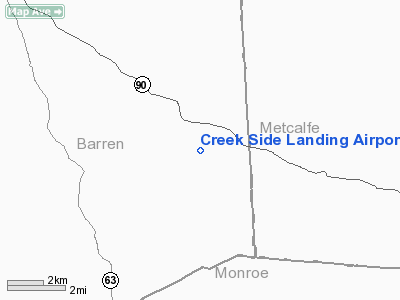
Creek Side Landing Airport |
|
Location &
QuickFacts
|
FAA
Information Effective: |
2008-09-25 |
|
Airport
Identifier: |
4KY1 |
|
Airport
Status: |
Operational |
|
Longitude/Latitude: |
085-46-22.0000W/36-53-42.0000N
-85.772778/36.895000 (Estimated) |
|
Elevation: |
727 ft / 221.59 m (Estimated) |
|
Land: |
0 acres |
|
From
nearest city: |
12 nautical miles NW of Glasgow, KY |
|
Location: |
Barren County, KY |
|
Magnetic Variation: |
() |
Owner & Manager
|
Ownership: |
Privately owned |
|
Owner: |
Kiffen Jones |
|
Address: |
118 Highland Park
Glasgow, KY 42141 |
|
Phone number: |
502-494-1946 |
|
Manager: |
Kiffen Jones |
|
Address: |
118 Highland Park
Glasgow, KY 42141 |
|
Phone number: |
502-494-1946 |
Airport
Operations and Facilities
|
Airport
Use: |
Private |
|
Wind
indicator: |
Yes |
|
Control
Tower: |
No |
|
Sectional chart: |
St Louis |
|
Region: |
ASO - Southern |
|
Boundary
ARTCC: |
ZME - Memphis |
|
Tie-in
FSS: |
LOU - Louisville |
|
FSS Toll
Free: |
1-800-WX-BRIEF |
|
Runway Information
Runway 08/26
|
Dimension: |
1700 x 50 ft / 518.2 x 15.2 m |
|
Surface: |
TURF, |
|
|
Runway 08
|
Runway 26
|
|
Traffic
Pattern: |
Left |
Left |
|
Radio Navigation Aids
|
ID |
Type |
Name |
Ch |
Freq |
Var |
Dist |
|
BVQ |
NDB |
Beaver Creek |
|
260.00 |
02W |
13.5 nm |
|
LFB |
NDB |
Lafayette |
|
245.00 |
02W |
26.7 nm |
|
TYC |
NDB |
Taylor County |
|
272.00 |
02W |
39.6 nm |
|
EKQ |
NDB |
Elk Spring |
|
290.00 |
03W |
44.3 nm |
|
JUE |
NDB |
Lebanon |
|
414.00 |
02W |
49.7 nm |
|
EWO |
VOR/DME |
New Hope |
045X |
110.80 |
01E |
44.5 nm |
|
BWG |
VORTAC |
Bowling Green |
126X |
117.90 |
02E |
32.3 nm |
|
LVT |
VORTAC |
Livingston |
021X |
108.40 |
02W |
34.7 nm |
Remarks
-
PRVDD VFR OPNS &
PVT USE.
Based Aircraft
|
Aircraft based
on field: |
1 |
|
Single Engine
Airplanes: |
1 |
Creek Side Landing Airport
Address:
Barren County, KY
Tel:
502-494-1946
Images
and information placed above are from
http://www.airport-data.com/airport/4KY1/
We
thank them for the data!
|
|


