 |
|
|
Location &
QuickFacts
|
FAA
Information Effective: |
2008-09-25 |
|
Airport
Identifier: |
32KS |
|
Airport
Status: |
Operational |
|
Longitude/Latitude: |
100-36-48.5130W/38-35-35.0570N
-100.613476/38.593071 (Estimated) |
|
Elevation: |
2856 ft / 870.51 m (Estimated) |
|
Land: |
0 acres |
|
From
nearest city: |
0 nautical miles SE of Healy, KS |
|
Location: |
Lane County, KS |
|
Magnetic Variation: |
08E (1995) |
Owner & Manager
|
Ownership: |
Privately owned |
|
Owner: |
Jack Wilkens |
|
Address: |
3008 S Dodge Rd
Healy, KS 67850 |
|
Phone number: |
316-398-2384 |
|
Address: |
|
Airport Operations and Facilities
|
Airport
Use: |
Private |
|
Wind
indicator: |
Yes |
|
Segmented Circle: |
No |
|
Control
Tower: |
No |
|
Sectional chart: |
Wichita |
|
Region: |
ACE - Central |
|
Boundary
ARTCC: |
ZDV - Denver |
|
Tie-in
FSS: |
ICT - Wichita |
|
FSS Toll
Free: |
1-800-WX-BRIEF |
|
Runway Information
Runway 18/36
|
Dimension: |
2800 x 50 ft / 853.4 x 15.2 m |
|
Surface: |
TURF, |
|
|
Runway 18
|
Runway 36
|
|
Traffic
Pattern: |
Left |
Left |
|
Radio Navigation Aids
|
ID |
Type |
Name |
Ch |
Freq |
Var |
Dist |
|
TQK |
NDB |
Scott City |
|
256.00 |
08E |
14.6 nm |
|
OEL |
NDB |
Oakley |
|
380.00 |
08E |
32.6 nm |
|
GC |
NDB |
Pieve |
|
347.00 |
09E |
46.2 nm |
|
GCK |
VORTAC |
Garden City |
080X |
113.30 |
11E |
40.9 nm |
|
HLC |
VORTAC |
Hill City |
084X |
113.70 |
08E |
43.9 nm |
Remarks
-
PRVDD MAINTAINS
CLEAR 20:1 APCH SLOPE & CLEAR 7:1 TRANSITIONAL SFC.
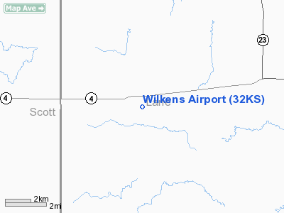
Wilkens Airport
Address:
Lane County, KS
Tel:
316-398-2384
Images
and information placed above are from
http://www.airport-data.com/airport/32KS/
We
thank them for the data!
|
General Info |
| Country |
United
States |
| State |
KANSAS
|
| FAA ID |
32KS
|
| Latitude |
38-35-35.057N |
|
Longitude |
100-36-48.513W |
|
Elevation |
2856
feet |
| Near
City |
HEALY
|
We don't guarantee the information is fresh and accurate. The data may
be wrong or outdated.
For more up-to-date information please refer to other sources.
|
|


