 |
|
|
Location &
QuickFacts
|
FAA
Information Effective: |
2008-09-25 |
|
Airport
Identifier: |
4KS6 |
|
Airport
Status: |
Operational |
|
Longitude/Latitude: |
095-54-23.9600W/38-14-30.0700N
-95.906656/38.241686 (Estimated) |
|
Elevation: |
1140 ft / 347.47 m (Estimated) |
|
Land: |
0 acres |
|
From
nearest city: |
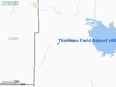
5 nautical miles SE of Hartford, KS |
|
Location: |
Coffey County, KS |
|
Magnetic Variation: |
06E (1985) |
Owner & Manager
|
Ownership: |
Privately owned |
|
Owner: |
Chris Thomsen |
|
Address: |
360 14th Lane Sw
Hartford, KS 66854 |
|
Phone
number: |
620-364-2267 |
|
Manager: |
Chris Thomsen |
|
Address: |
360 14th Lane Sw
Hartford, KS 66854 |
|
Phone number: |
620-364-2267 |
Airport Operations and Facilities
|
Airport
Use: |
Private |
|
Wind
indicator: |
Yes |
|
Segmented Circle: |
No |
|
Control
Tower: |
No |
|
Sectional chart: |
Kansas City |
|
Region: |
ACE - Central |
|
Boundary
ARTCC: |
ZKC - Kansas City |
|
Tie-in
FSS: |
ICT - Wichita |
|
FSS on
Airport: |
No |
|
FSS Toll
Free: |
1-800-WX-BRIEF |
|
Runway Information
Runway 18/36
|
Dimension: |
1200 x 40 ft / 365.8 x 12.2 m |
|
Surface: |
TURF, |
|
|
Runway 18
|
Runway 36
|
|
Traffic
Pattern: |
Left |
Left |
|
Obstruction: |
15 ft road |
|
|
Radio Navigation Aids
|
ID |
Type |
Name |
Ch |
Freq |
Var |
Dist |
|
UKL |
NDB |
Boyd |
|
245.00 |
05E |
9.4 nm |
|
MSB |
NDB |
Monarch |
|
410.00 |
04E |
35.7 nm |
|
FOE |
TACAN |
Forbes |
053X |
|
05E |
44.0 nm |
|
CNU |
VOR/DME |
Chanute |
029X |
109.20 |
05E |
39.9 nm |
|
EMP |
VORTAC |
Emporia |
075X |
112.80 |
08E |
11.3 nm |
|
FOE |
VOT |
Forbes |
|
111.00 |
|
44.1 nm |
Remarks
-
OWNER DESIRES
AIRPORT BE CHARTED.
-
PROVIDED
APPROACHES MAINTAINED FOR A 20:1 SLOPE AND TRANSITIONAL SURFACE FOR A 7:1
SLOPE.
Based Aircraft
|
Aircraft based
on field: |
1 |
|
Ultralights: |
1 |
Thomsen Field Airport
Address:
Coffey County, KS
Tel:
620-364-2267
Images
and information placed above are from
http://www.airport-data.com/airport/4KS6/
We
thank them for the data!
|
General Info |
| Country |
United
States |
| State |
KANSAS
|
| FAA ID |
4KS6
|
| Latitude |
38-14-30.070N |
|
Longitude |
095-54-23.960W |
|
Elevation |
1140
feet |
| Near
City |
HARTFORD
|
We don't guarantee the information is fresh and accurate. The data may
be wrong or outdated.
For more up-to-date information please refer to other sources.
|
|


