 |
|
|
Location &
QuickFacts
|
FAA
Information Effective: |
2008-09-25 |
|
Airport
Identifier: |
SN87 |
|
Airport
Status: |
Operational |
|
Longitude/Latitude: |
100-54-23.5820W/37-15-36.0810N
-100.906551/37.260022 (Estimated) |
|
Elevation: |
2830 ft / 862.58 m (Estimated) |
|
Land: |
0 acres |
|
From
nearest city: |
11 nautical miles N of Liberal, KS |
|
Location: |
Seward County, KS |
|
Magnetic Variation: |
09E (1985) |
Owner & Manager
|
Ownership: |
Privately owned |
|
Owner: |
Levi D. Isaac |
|
Address: |
P O Box 708
Liberal, KS 67901 |
|
Phone
number: |
316-624-6296 |
|
Manager: |
Levi D. Isaac |
|
Address: |
P O Box 708
Liberal, KS 67901 |
|
Phone number: |
316-624-6296 |
Airport Operations and Facilities
|
Airport
Use: |
Private |
|
Wind
indicator: |
Yes |
|
Segmented Circle: |
No |
|
Control
Tower: |
No |
|
Landing
fee charge: |
No |
|
Sectional chart: |
Wichita |
|
Region: |
ACE - Central |
|
Boundary
ARTCC: |
ZKC - Kansas City |
|
Tie-in
FSS: |
ICT - Wichita |
|
FSS on
Airport: |
No |
|
FSS Toll
Free: |
1-800-WX-BRIEF |
|
Runway Information
Runway 01/19
|
Dimension: |
2800 x 30 ft / 853.4 x 9.1 m |
|
Surface: |
ASPH, |
|
|
Runway 01
|
Runway 19
|
|
Traffic
Pattern: |
Left |
Left |
|
Radio Navigation Aids
|
ID |
Type |
Name |
Ch |
Freq |
Var |
Dist |
|
HQG |
NDB |
Hugoton |
|
365.00 |
09E |
23.1 nm |
|
MEJ |
NDB |
Meade |
|
389.00 |
09E |
26.3 nm |
|
ULS |
NDB |
Ulysses |
|
395.00 |
09E |
29.9 nm |
|
GC |
NDB |
Pieve |
|
347.00 |
09E |
35.3 nm |
|
GUY |
NDB |
Guymon |
|
275.00 |
09E |
44.0 nm |
|
JHN |
NDB |
Bear Creek |
|
341.00 |
10E |
45.5 nm |
|
EHA |
NDB |
Elkhart |
|
377.00 |
10E |
49.4 nm |
|
LBL |
VORTAC |
Liberal |
070X |
112.30 |
11E |
13.3 nm |
|
GCK |
VORTAC |
Garden City |
080X |
113.30 |
11E |
40.5 nm |
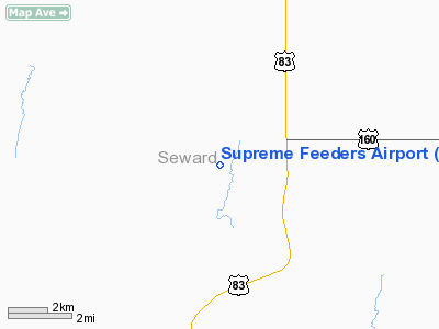
Supreme Feeders Airport
Address:
Seward County, KS
Tel:
316-624-6296
Images
and information placed above are from
http://www.airport-data.com/airport/SN87/
We
thank them for the data!
|
General Info |
| Country |
United
States |
| State |
KANSAS
|
| FAA ID |
SN87
|
| Latitude |
37-15-36.081N |
|
Longitude |
100-54-23.582W |
|
Elevation |
2830
feet |
| Near
City |
LIBERAL
|
We don't guarantee the information is fresh and accurate. The data may
be wrong or outdated.
For more up-to-date information please refer to other sources.
|
|


