 |
|
|
Location &
QuickFacts
|
FAA
Information Effective: |
2008-09-25 |
|
Airport
Identifier: |
SN14 |
|
Airport
Status: |
Operational |
|
Longitude/Latitude: |
095-31-00.9350W/38-25-00.0570N
-95.516926/38.416683 (Estimated) |
|
Elevation: |
1165 ft / 355.09 m (Estimated) |
|
Land: |
0 acres |
|
From
nearest city: |
1 nautical miles E of Agricola, KS |
|
Location: |
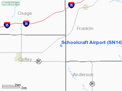
Coffey County, KS |
|
Magnetic Variation: |
06E (1985) |
Owner & Manager
|
Ownership: |
Privately owned |
|
Owner: |
E. Blaine Schoolcraft |
|
Address: |
Po Box 5
Waverly, KS 66871 |
|
Phone number: |
913-733-2207 |
|
Manager: |
Robert Wood |
|
Address: |
|
|
Phone number: |
785-733-2282 |
Airport
Operations and Facilities
|
Airport
Use: |
Private |
|
Wind
indicator: |
Yes |
|
Segmented Circle: |
No |
|
Control
Tower: |
No |
|
Landing
fee charge: |
No |
|
Sectional chart: |
Kansas City |
|
Region: |
ACE - Central |
|
Boundary
ARTCC: |
ZKC - Kansas City |
|
Tie-in
FSS: |
ICT - Wichita |
|
FSS on
Airport: |
No |
|
FSS Toll
Free: |
1-800-WX-BRIEF |
|
Runway Information
Runway 01/19
|
Dimension: |
2500 x 50 ft / 762.0 x 15.2 m |
|
Surface: |
TURF,
SOFT DURING WET WEATHER. |
|
|
Runway 01
|
Runway 19
|
|
Traffic
Pattern: |
Left |
Left |
|
Runway 18/36
|
Dimension: |
2000 x 60 ft / 609.6 x 18.3 m |
|
Surface: |
TURF,
SOFT DURING WET WEATHER. |
|
|
Runway 18
|
Runway 36
|
|
Traffic
Pattern: |
Left |
Left |
|
Radio Navigation Aids
|
ID |
Type |
Name |
Ch |
Freq |
Var |
Dist |
|
UKL |
NDB |
Boyd |
|
245.00 |
05E |
11.9 nm |
|
MSB |
NDB |
Monarch |
|
410.00 |
04E |
37.9 nm |
|
TO |
NDB |
Biloy |
|
521.00 |
05E |
43.0 nm |
|
FOE |
TACAN |
Forbes |
053X |
|
05E |
32.6 nm |
|
OJC |
VOR/DME |
Johnson County |
077X |
113.00 |
06E |
44.6 nm |
|
CNU |
VOR/DME |
Chanute |
029X |
109.20 |
05E |
47.7 nm |
|
EMP |
VORTAC |
Emporia |
075X |
112.80 |
08E |
30.2 nm |
|
TOP |
VORTAC |
Topeka |
125X |
117.80 |
05E |
43.3 nm |
|
BUM |
VORTAC |
Butler |
106X |
115.90 |
07E |
49.3 nm |
|
FOE |
VOT |
Forbes |
|
111.00 |
|
32.9 nm |
Remarks
-
ESTABLISHED PRIOR
TO 1959. PROVIDED MNTN CLEAR APCH TO EACH RY FOR A MINIMUM 20:1 GLIDE SLOPE,
MNTN CLEAR TRANSITIONAL SURFACE FOR 7:1 SLOPE.
Schoolcraft Airport
Address:
Coffey County, KS
Tel:
913-733-2207, 785-733-2282
Images
and information placed above are from
http://www.airport-data.com/airport/SN14/
We
thank them for the data!
|
General Info |
| Country |
United
States |
| State |
KANSAS
|
| FAA ID |
SN14
|
| Latitude |
38-25-00.057N |
|
Longitude |
095-31-00.935W |
|
Elevation |
1165
feet |
| Near
City |
AGRICOLA
|
We don't guarantee the information is fresh and accurate. The data may
be wrong or outdated.
For more up-to-date information please refer to other sources.
|
|


