 |
|
|
Location &
QuickFacts
|
FAA
Information Effective: |
2008-09-25 |
|
Airport
Identifier: |
9KS4 |
|
Airport
Status: |
Operational |
|
Longitude/Latitude: |
098-21-35.2060W/39-38-11.0400N
-98.359779/39.636400 (Estimated) |
|
Elevation: |
1500 ft / 457.20 m (Estimated) |
|
Land: |
0 acres |
|
From
nearest city: |
2 nautical miles SW of Ionia, KS |
|
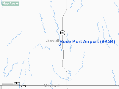
Location: |
Jewell County, KS |
|
Magnetic Variation: |
07E (1985) |
Owner & Manager
|
Ownership: |
Privately owned |
|
Owner: |
Rose Pork Inc |
|
Address: |
7125 C F Road
Cawker City, KS 67430 |
|
Phone
number: |
785-786-3291 |
|
Manager: |
Rod Rose |
|
Address: |
7125 A F Road
Cawker City, KS 67430 |
|
Phone number: |
785-786-3291 |
Airport Operations and Facilities
|
Airport
Use: |
Private |
|
Wind
indicator: |
No |
|
Segmented Circle: |
No |
|
Control
Tower: |
No |
|
Landing
fee charge: |
No |
|
Sectional chart: |
Wichita |
|
Region: |
ACE - Central |
|
Boundary
ARTCC: |
ZMP - Minneapolis |
|
Tie-in
FSS: |
ICT - Wichita |
|
FSS on
Airport: |
No |
|
FSS Toll
Free: |
1-800-WX-BRIEF |
|
Runway Information
Runway 16/34
|
Dimension: |
2600 x 50 ft / 792.5 x 15.2 m |
|
Surface: |
TURF, |
|
|
Runway 16
|
Runway 34
|
|
Traffic
Pattern: |
Left |
Left |
|
Radio Navigation Aids
|
ID |
Type |
Name |
Ch |
Freq |
Var |
Dist |
|
CNK |
NDB |
Concordia |
|
335.00 |
06E |
33.2 nm |
|
RPB |
NDB |
Republican |
|
414.00 |
07E |
34.1 nm |
|
PHG |
NDB |
Phillipsburg |
|
368.00 |
08E |
43.2 nm |
|
HJH |
NDB |
Hebron |
|
323.00 |
06E |
47.1 nm |
|
TKO |
VORTAC |
Mankato |
035X |
109.80 |
10E |
11.2 nm |
Remarks
-
OWNER DESIRES ARPT CHARTED.
-
E111 PRVDD THE
APCH TO EACH RWY IS MAINTD FOR A MIN 20:1 GLIDE SLOPE AND THE TRANSITIONAL SFC
BE MAINTD FOR A 7:1 SLOPE; AND ROAD SHOWN CROSSING ARPT IS NOT ACCESSIBLE TO
THE PUBLIC.
Rose Port Airport
Address:
Jewell County, KS
Tel:
785-786-3291
Images
and information placed above are from
http://www.airport-data.com/airport/9KS4/
We
thank them for the data!
|
General Info |
| Country |
United
States |
| State |
KANSAS
|
| FAA ID |
9KS4
|
| Latitude |
39-38-11.040N |
|
Longitude |
098-21-35.206W |
|
Elevation |
1500
feet |
| Near
City |
IONIA
|
We don't guarantee the information is fresh and accurate. The data may
be wrong or outdated.
For more up-to-date information please refer to other sources.
|
|


