 |
|
|
Location &
QuickFacts
|
FAA
Information Effective: |
2008-09-25 |
|
Airport
Identifier: |
29KS |
|
Airport
Status: |
Operational |
|
Longitude/Latitude: |
097-00-41.0650W/38-28-58.0500N
-97.011407/38.482792 (Estimated) |
|
Elevation: |
1470 ft / 448.06 m (Estimated) |
|
Land: |
160 acres |
|
From
nearest city: |
3 nautical miles SW of Lincolnville, KS |
|
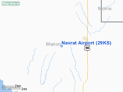
Location: |
Marion County, KS |
|
Magnetic Variation: |
07E (1985) |
Owner & Manager
|
Ownership: |
Privately owned |
|
Owner: |
Navrat Family, L.p. |
|
Address: |
2861 Timber
Marion, KS 66861 |
|
Phone number: |
620-924-5468 |
|
Address: |
|
Airport
Operations and Facilities
|
Airport
Use: |
Private |
|
Wind
indicator: |
No |
|
Segmented Circle: |
No |
|
Control
Tower: |
No |
|
Landing
fee charge: |
No |
|
Sectional chart: |
Wichita |
|
Region: |
ACE - Central |
|
Boundary
ARTCC: |
ZKC - Kansas City |
|
Tie-in
FSS: |
ICT - Wichita |
|
FSS on
Airport: |
No |
|
FSS Toll
Free: |
1-800-WX-BRIEF |
|
Runway Information
Runway 17/35
|
Dimension: |
2600 x 80 ft / 792.5 x 24.4 m |
|
Surface: |
TURF, |
|
|
Runway 17
|
Runway 35
|
|
Traffic
Pattern: |
Left |
Left |
|
Radio Navigation Aids
|
ID |
Type |
Name |
Ch |
Freq |
Var |
Dist |
|
HRU |
NDB |
Herington |
|
407.00 |
06E |
15.7 nm |
|
EWK |
NDB |
Newton |
|
281.00 |
06E |
28.0 nm |
|
MPR |
NDB |
Mc Pherson |
|
227.00 |
06E |
32.8 nm |
|
CVY |
NDB |
Cavalry |
|
314.00 |
06E |
34.2 nm |
|
MQD |
NDB |
Mc Dowell Creek |
|
391.00 |
06E |
42.1 nm |
|
EQA |
NDB |
El Dorado |
|
383.00 |
05E |
43.3 nm |
|
FRI |
VOR |
Fort Riley |
|
109.40 |
06E |
30.1 nm |
|
MHK |
VOR/DME |
Manhattan |
039X |
110.20 |
06E |
42.9 nm |
|
SLN |
VORTAC |
Salina |
118X |
117.10 |
07E |
39.1 nm |
|
EMP |
VORTAC |
Emporia |
075X |
112.80 |
08E |
42.7 nm |
Remarks
-
CONDL: PROVIDED
APPROACH TO EACH RWY IS MAINTAINED FOR A MIN 20:1 GLIDE SLOPE AND THE
TRANSITIONAL SURFACE BE MAINTAINED FOR A 7:1 SLOPE.
Navrat Airport
Address:
Marion County, KS
Tel:
620-924-5468
Images
and information placed above are from
http://www.airport-data.com/airport/29KS/
We
thank them for the data!
|
General Info |
| Country |
United
States |
| State |
KANSAS
|
| FAA ID |
29KS
|
| Latitude |
38-28-58.050N |
|
Longitude |
097-00-41.065W |
|
Elevation |
1470
feet |
| Near
City |
LINCOLNVILLE |
We don't guarantee the information is fresh and accurate. The data may
be wrong or outdated.
For more up-to-date information please refer to other sources.
|
|


