 |
|
|
Location &
QuickFacts
|
FAA
Information Effective: |
2008-09-25 |
|
Airport
Identifier: |
SN48 |
|
Airport
Status: |
Operational |
|
Longitude/Latitude: |
098-50-59.3430W/37-47-18.0590N
-98.849818/37.788350 (Estimated) |
|
Elevation: |
1992 ft / 607.16 m (Estimated) |
|
Land: |
8 acres |
|
From
nearest city: |
1 nautical miles E of Byers, KS |
|
Location: |
Pratt County, KS |
|
Magnetic Variation: |
07E (1985) |
Owner & Manager
|
Ownership: |
Privately owned |
|
Owner: |
Double Arrow Farms |
|
Address: |
100280 Nw 60th Ave
Iuka, KS 67066 |
|
Phone
number: |
620-546-2413 |
|
Manager: |
Bill M. Moore |
|
Address: |
100280 Nw 60th Ave
Iuka, KS 67066 |
|
Phone number: |
620-546-2413 |
Airport Operations and Facilities
|
Airport
Use: |
Private |
|
Segmented Circle: |
No |
|
Control
Tower: |
No |
|
Sectional chart: |
Wichita |
|
Region: |
ACE - Central |
|
Boundary
ARTCC: |
ZKC - Kansas City |
|
Tie-in
FSS: |
ICT - Wichita |
|
FSS on
Airport: |
No |
|
FSS Toll
Free: |
1-800-WX-BRIEF |
|
Runway Information
Runway 17/35
|
Dimension: |
2400 x 75 ft / 731.5 x 22.9 m |
|
Surface: |
TURF, |
|
|
Runway 17
|
Runway 35
|
|
Traffic
Pattern: |
Left |
Left |
|
Radio Navigation Aids
|
ID |
Type |
Name |
Ch |
Freq |
Var |
Dist |
|
PTT |
NDB |
Pratt |
|
356.00 |
07E |
6.2 nm |
|
LQR |
NDB |
Larned |
|
296.00 |
08E |
27.4 nm |
|
HIL |
NDB |
Hilyn |
|
338.00 |
08E |
34.4 nm |
|
LYO |
NDB |
Lyons |
|
386.00 |
06E |
44.7 nm |
|
HUT |
VOR/DME |
Hutchinson |
115X |
116.80 |
09E |
45.2 nm |
|
ANY |
VORTAC |
Anthony |
076X |
112.90 |
07E |
49.8 nm |
Remarks
-
PRVDD APCHS
MAINTAINED FOR A 20:1 GLIDE SLOPE AND TRANSITIONAL SURFACES FOR A 9:1 SLOPE.
Based Aircraft
|
Aircraft based
on field: |
1 |
|
Single Engine
Airplanes: |
1 |
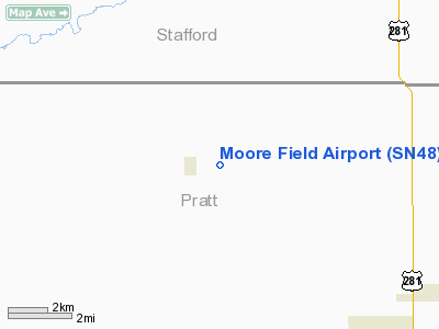
Moore Field Airport
Address:
Pratt County, KS
Tel:
620-546-2413
Images
and information placed above are from
http://www.airport-data.com/airport/SN48/
We
thank them for the data!
|
General Info |
| Country |
United
States |
| State |
KANSAS
|
| FAA ID |
SN48
|
| Latitude |
37-47-18.059N |
|
Longitude |
098-50-59.343W |
|
Elevation |
1992
feet |
| Near
City |
BYERS
|
We don't guarantee the information is fresh and accurate. The data may
be wrong or outdated.
For more up-to-date information please refer to other sources.
|
|


