 |
|
|
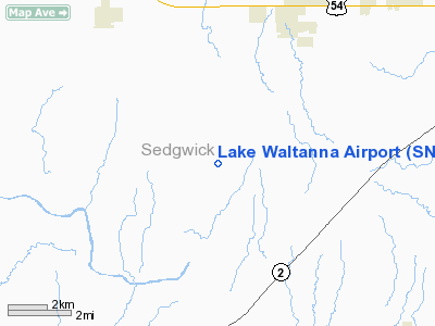
Location &
QuickFacts
|
FAA
Information Effective: |
2008-09-25 |
|
Airport
Identifier: |
SN65 |
|
Airport
Status: |
Operational |
|
Longitude/Latitude: |
097-37-01.1750W/37-35-30.0570N
-97.616993/37.591682 (Estimated) |
|
Elevation: |
1440 ft / 438.91 m (Estimated) |
|
Land: |
6 acres |
|
From
nearest city: |
4 nautical miles SW of Goddard, KS |
|
Location: |
Sedgwick County, KS |
|
Magnetic Variation: |
07E (1985) |
Owner & Manager
|
Ownership: |
Privately owned |
|
Owner: |
Lk Waltanna Home Owners Assoc |
|
Address: |
Lake Waltanna
Goddard, KS 67052 |
|
Phone number: |
316-794-2370 |
|
Manager: |
Nick Mardis |
|
Address: |
17 Lakeridge Dr
Goddard, KS 67052 |
|
Phone number: |
316-794-2370 |
Airport
Operations and Facilities
|
Airport
Use: |
Private |
|
Wind
indicator: |
Yes |
|
Segmented Circle: |
No |
|
Control
Tower: |
No |
|
Landing
fee charge: |
No |
|
Sectional chart: |
Wichita |
|
Region: |
ACE - Central |
|
Boundary
ARTCC: |
ZKC - Kansas City |
|
Tie-in
FSS: |
ICT - Wichita |
|
FSS on
Airport: |
No |
|
FSS Toll
Free: |
1-800-WX-BRIEF |
|
Runway Information
Runway 17/35
|
Dimension: |
2100 x 100 ft / 640.1 x 30.5 m |
|
Surface: |
TURF, |
|
|
Runway 17
|
Runway 35
|
|
Traffic
Pattern: |
Right |
Left |
|
Radio Navigation Aids
|
ID |
Type |
Name |
Ch |
Freq |
Var |
Dist |
|
IC |
NDB |
Piche |
|
332.00 |
07E |
7.7 nm |
|
EGT |
NDB |
Wellington |
|
414.00 |
07E |
19.4 nm |
|
EWK |
NDB |
Newton |
|
281.00 |
06E |
32.7 nm |
|
EQA |
NDB |
El Dorado |
|
383.00 |
05E |
39.7 nm |
|
MPR |
NDB |
Mc Pherson |
|
227.00 |
06E |
45.6 nm |
|
IAB |
TACAN |
Mc Connell |
112X |
|
07E |
16.7 nm |
|
HUT |
VOR/DME |
Hutchinson |
115X |
116.80 |
09E |
28.6 nm |
|
ICT |
VORTAC |
Wichita |
085X |
113.80 |
07E |
9.4 nm |
|
ANY |
VORTAC |
Anthony |
076X |
112.90 |
07E |
37.1 nm |
|
ICT |
VOT |
Wichita |
|
114.00 |
|
9.1 nm |
Based Aircraft
|
Aircraft based
on field: |
7 |
|
Single Engine
Airplanes: |
7 |
Lake Waltanna Airport
Address:
Sedgwick County, KS
Tel:
316-794-2370
Images
and information placed above are from
http://www.airport-data.com/airport/SN65/
We
thank them for the data!
|
General Info |
| Country |
United
States |
| State |
KANSAS
|
| FAA ID |
SN65
|
| Latitude |
37-35-30.057N |
|
Longitude |
097-37-01.175W |
|
Elevation |
1440
feet |
| Near
City |
GODDARD
|
We don't guarantee the information is fresh and accurate. The data may
be wrong or outdated.
For more up-to-date information please refer to other sources.
|
|


