 |
|
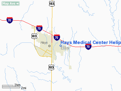
Hays Medical Center Heliport |
|
Location &
QuickFacts
|
FAA
Information Effective: |
2008-09-25 |
|
Airport
Identifier: |
SN74 |
|
Airport
Status: |
Operational |
|
Longitude/Latitude: |
099-17-56.3690W/38-52-49.0410N
-99.298991/38.880289 (Estimated) |
|
Elevation: |
2000 ft / 609.60 m (Estimated) |
|
Land: |
0 acres |
|
From
nearest city: |
4 nautical miles SE of Hays, KS |
|
Location: |
Ellis County, KS |
|
Magnetic Variation: |
08E (1985) |
Owner & Manager
|
Ownership: |
Privately owned |
|
Owner: |
Hays Medical Center |
|
Address: |
2220 Canterbury Rd
Hays, KS 67601 |
|
Phone number: |
913-625-7301 |
|
Manager: |
John Stevens |
|
Address: |
2220 Canterbury Rd
Hays, KS 67601 |
|
Phone number: |
913-625-7301 |
Airport
Operations and Facilities
|
Airport
Use: |
Private
MEDICAL USE. |
|
Wind
indicator: |
No |
|
Segmented Circle: |
No |
|
Control
Tower: |
No |
|
Landing
fee charge: |
No |
|
Sectional chart: |
Wichita |
|
Region: |
ACE - Central |
|
Boundary
ARTCC: |
ZKC - Kansas City |
|
Tie-in
FSS: |
ICT - Wichita |
|
FSS on
Airport: |
No |
|
FSS Toll
Free: |
1-800-WX-BRIEF |
|
Runway Information
Helipad H1
|
Dimension: |
50 x 50 ft / 15.2 x 15.2 m |
|
Surface: |
CONC, |
|
|
Runway H1
|
Runway
|
|
Traffic
Pattern: |
Left |
Left |
|
Radio Navigation Aids
|
ID |
Type |
Name |
Ch |
Freq |
Var |
Dist |
|
HIL |
NDB |
Hilyn |
|
338.00 |
08E |
36.4 nm |
|
LQR |
NDB |
Larned |
|
296.00 |
08E |
41.8 nm |
|
PHG |
NDB |
Phillipsburg |
|
368.00 |
08E |
49.6 nm |
|
HYS |
VORTAC |
Hays |
041X |
110.40 |
10E |
2.2 nm |
|
HLC |
VORTAC |
Hill City |
084X |
113.70 |
08E |
48.9 nm |
Remarks
-
PROVIDED HELIPORT
REMAINS PVT USE.
Based Aircraft
|
Aircraft based
on field: |
1 |
|
Helicopters: |
1 |
Hays Medical Center Heliport
Address:
Ellis County, KS
Tel:
913-625-7301
Images
and information placed above are from
http://www.airport-data.com/airport/SN74/
We
thank them for the data!
|
General Info |
| Country |
United
States |
| State |
KANSAS
|
| FAA ID |
SN74
|
| Latitude |
38-52-49.041N |
|
Longitude |
099-17-56.369W |
|
Elevation |
2000
feet |
| Near
City |
HAYS
|
We don't guarantee the information is fresh and accurate. The data may
be wrong or outdated.
For more up-to-date information please refer to other sources.
|
|


