 |
|
|
Location &
QuickFacts
|
FAA
Information Effective: |
2008-06-05 |
|
Airport
Identifier: |
SN58 |
|
Airport
Status: |
Operational |
|
Longitude/Latitude: |
096-38-48.0720W/37-52-12.0710N
-96.646687/37.870020 (Estimated) |
|
Elevation: |
1440 ft / 438.91 m (Estimated) |
|
Land: |
80 acres |
|
From
nearest city: |
10 nautical miles NE of El Dorado, KS |
|
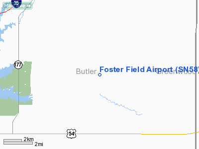
Location: |
Butler County, KS |
|
Magnetic Variation: |
07E (1985) |
Owner & Manager
|
Ownership: |
Privately owned |
|
Owner: |
James W. Foster |
|
Address: |
Rt 3 Box 119
El Dorado, KS 67042 |
|
Phone
number: |
316-476-2299 |
|
Manager: |
James W. Foster |
|
Address: |
Rt 3 Box 119
El Dorado, KS 67042 |
|
Phone number: |
316-476-2299 |
Airport Operations and Facilities
|
Airport
Use: |
Private |
|
Wind
indicator: |
Yes |
|
Segmented Circle: |
No |
|
Control
Tower: |
No |
|
Lighting
Schedule: |
PHONE REQ
FOR APT BCN CALL 316-476-2299. |
|
Beacon
Color: |
Clear (unlighted land airport) |
|
Sectional chart: |
Kansas City |
|
Region: |
ACE - Central |
|
Boundary
ARTCC: |
ZKC - Kansas City |
|
Tie-in
FSS: |
ICT - Wichita |
|
FSS on
Airport: |
No |
|
FSS Toll
Free: |
1-800-WX-BRIEF |
|
Runway Information
Runway 17/35
|
Dimension: |
2440 x 50 ft / 743.7 x 15.2 m |
|
Surface: |
TURF, |
|
|
Runway 17
|
Runway 35
|
|
Traffic
Pattern: |
Left |
Left |
|
Radio Navigation Aids
|
ID |
Type |
Name |
Ch |
Freq |
Var |
Dist |
|
EQA |
NDB |
El Dorado |
|
383.00 |
05E |
9.7 nm |
|
EWK |
NDB |
Newton |
|
281.00 |
06E |
31.9 nm |
|
IC |
NDB |
Piche |
|
332.00 |
07E |
42.3 nm |
|
EGT |
NDB |
Wellington |
|
414.00 |
07E |
48.3 nm |
|
IAB |
TACAN |
Mc Connell |
112X |
|
07E |
33.1 nm |
|
EMP |
VORTAC |
Emporia |
075X |
112.80 |
08E |
34.9 nm |
|
ICT |
VORTAC |
Wichita |
085X |
113.80 |
07E |
45.1 nm |
|
ICT |
VOT |
Wichita |
|
114.00 |
|
39.9 nm |
Remarks
-
PROVIDED
APPROACHES ARE MAINTAINED FOR A 20:1 GLIDE SLOPE; TRANSITIONAL SURFACES ARE
CLEAR FOR A 7:1 SLOPE.
Based Aircraft
|
Aircraft based
on field: |
1 |
|
Single Engine
Airplanes: |
1 |
Foster Field Airport
Address:
Butler County, KS
Tel:
316-476-2299
Images
and information placed above are from
http://www.airport-data.com/airport/SN58/
We
thank them for the data!
|
General Info |
| Country |
United
States |
| State |
KANSAS
|
| FAA ID |
SN58
|
| Latitude |
37-52-12.071N |
|
Longitude |
096-38-48.072W |
|
Elevation |
1440
feet |
| Near
City |
EL
DORADO |
We don't guarantee the information is fresh and accurate. The data may
be wrong or outdated.
For more up-to-date information please refer to other sources.
|
|


