 |
|
|
Location &
QuickFacts
|
FAA
Information Effective: |
2008-06-05 |
|
Airport
Identifier: |
01KS |
|
Airport
Status: |
Operational |
|
Longitude/Latitude: |
097-00-12.0600W/38-32-26.0440N
-97.003350/38.540568 (Estimated) |
|
Elevation: |
1485 ft / 452.63 m (Estimated) |
|
Land: |
0 acres |
|
From
nearest city: |
2 nautical miles SW of Lost Springs, KS |
|
Location: |
Marion County, KS |
|
Magnetic Variation: |
07E (1985) |
Owner & Manager
|
Ownership: |
Privately owned |
|
Owner: |
William R. Novak |
|
Address: |
Rr 1
Lost Springs, KS 66859 |
|
Phone number: |
913-983-4495 |
|
Manager: |
William R. Novak |
|
Address: |
Rr 1
Lost Springs, KS 66859 |
|
Phone number: |
913-983-4495 |
Airport
Operations and Facilities
|
Airport
Use: |
Private |
|
Segmented Circle: |
No |
|
Control
Tower: |
No |
|
Landing
fee charge: |
No |
|
Sectional chart: |
Wichita |
|
Region: |
ACE - Central |
|
Boundary
ARTCC: |
ZKC - Kansas City |
|
Tie-in
FSS: |
ICT - Wichita |
|
FSS on
Airport: |
No |
|
FSS Toll
Free: |
1-800-WX-BRIEF |
|
Runway Information
Runway 18/36
|
Dimension: |
2400 x 100 ft / 731.5 x 30.5 m |
|
Surface: |
TURF, |
|
|
Runway 18
|
Runway 36
|
|
Traffic
Pattern: |
Left |
Left |
|
Obstruction: |
|
25 ft plines, 100.0 ft from runway |
|
Radio Navigation Aids
|
ID |
Type |
Name |
Ch |
Freq |
Var |
Dist |
|
HRU |
NDB |
Herington |
|
407.00 |
06E |
12.9 nm |
|
CVY |
NDB |
Cavalry |
|
314.00 |
06E |
30.8 nm |
|
EWK |
NDB |
Newton |
|
281.00 |
06E |
31.3 nm |
|
MPR |
NDB |
Mc Pherson |
|
227.00 |
06E |
34.2 nm |
|
MQD |
NDB |
Mc Dowell Creek |
|
391.00 |
06E |
38.8 nm |
|
EQA |
NDB |
El Dorado |
|
383.00 |
05E |
46.6 nm |
|
FRI |
VOR |
Fort Riley |
|
109.40 |
06E |
26.7 nm |
|
MHK |
VOR/DME |
Manhattan |
039X |
110.20 |
06E |
39.6 nm |
|
SLN |
VORTAC |
Salina |
118X |
117.10 |
07E |
37.1 nm |
|
EMP |
VORTAC |
Emporia |
075X |
112.80 |
08E |
43.4 nm |
Remarks
-
PRVDD THE APCH TO
EACH RWY IS MAINTD FOR A MIN 20:1 GS & THE TRANSITIONAL SFC MAINTD FOR A MIN
7:1 SLOPE.
Based Aircraft
|
Aircraft based
on field: |
2 |
|
Helicopters: |
2 |
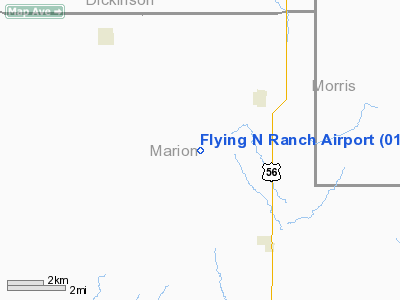
Flying N Ranch Airport
Address:
Marion County, KS
Tel:
913-983-4495
Images
and information placed above are from
http://www.airport-data.com/airport/01KS/
We
thank them for the data!
|
General Info |
| Country |
United
States |
| State |
KANSAS
|
| FAA ID |
01KS
|
| Latitude |
38-32-26.044N |
|
Longitude |
097-00-12.060W |
|
Elevation |
1485
feet |
| Near
City |
LOST
SPRINGS |
We don't guarantee the information is fresh and accurate. The data may
be wrong or outdated.
For more up-to-date information please refer to other sources.
|
|


