 |
|
|
Location &
QuickFacts
|
FAA
Information Effective: |
2008-06-05 |
|
Airport
Identifier: |
SN19 |
|
Airport
Status: |
Operational |
|
Longitude/Latitude: |
097-05-46.1410W/37-37-30.0620N
-97.096150/37.625017 (Estimated) |
|
Elevation: |
1400 ft / 426.72 m (Estimated) |
|
Land: |
80 acres |
|
From
nearest city: |
5 nautical miles SW of Augusta, KS |
|
Location: |
Butler County, KS |
|
Magnetic Variation: |
07E (1985) |
Owner & Manager
|
Ownership: |
Privately owned |
|
Owner: |
Harold C. Hockelberg |
|
Address: |
13702 Sw 140th St
Rose Hill, KS 67133 |
|
Phone
number: |
316-733-1455 |
|
Manager: |
Harold C. Hockelberg |
|
Address: |
13702 Sw 140th St
Rose Hill, KS 67133 |
|
Phone number: |
316-733-1455 |
Airport Operations and Facilities
|
Airport Use: |
Private |
|
Wind indicator: |
Yes |
|
Segmented Circle: |
No |
|
Control Tower: |
No |
|
Landing fee charge: |
No |
|
Sectional chart: |
Wichita |
|
Region: |
ACE - Central |
|
Boundary ARTCC: |
ZKC - Kansas City |
|
Tie-in FSS: |
ICT - Wichita |
|
FSS on Airport: |
No |
|
FSS Toll Free: |
1-800-WX-BRIEF |
Airport Services
|
Airframe
Repair: |
NONE |
|
Power
Plant Repair: |
NONE |
|
Runway Information
Runway NE/SW
|
Dimension: |
2800 x 100 ft / 853.4 x 30.5 m |
|
Surface: |
TURF, |
|
|
Runway NE
|
Runway SW
|
|
Traffic
Pattern: |
Right |
Left |
|
Radio Navigation Aids
|
ID |
Type |
Name |
Ch |
Freq |
Var |
Dist |
|
EQA |
NDB |
El Dorado |
|
383.00 |
05E |
16.2 nm |
|
IC |
NDB |
Piche |
|
332.00 |
07E |
17.4 nm |
|
EGT |
NDB |
Wellington |
|
414.00 |
07E |
22.9 nm |
|
EWK |
NDB |
Newton |
|
281.00 |
06E |
27.7 nm |
|
PN |
NDB |
Ponca |
|
515.00 |
05E |
48.1 nm |
|
IAB |
TACAN |
Mc Connell |
112X |
|
07E |
8.2 nm |
|
HUT |
VOR/DME |
Hutchinson |
115X |
116.80 |
09E |
45.6 nm |
|
ICT |
VORTAC |
Wichita |
085X |
113.80 |
07E |
24.3 nm |
|
ICT |
VOT |
Wichita |
|
114.00 |
|
16.1 nm |
Based Aircraft
|
Aircraft based
on field: |
1 |
|
Single Engine
Airplanes: |
1 |
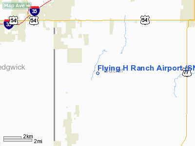
Flying H Ranch Airport
Address:
Butler County, KS
Tel:
316-733-1455
Images
and information placed above are from
http://www.airport-data.com/airport/SN19/
We
thank them for the data!
|
General Info |
| Country |
United
States |
| State |
KANSAS
|
| FAA ID |
SN19
|
| Latitude |
37-37-30.062N |
|
Longitude |
097-05-46.141W |
|
Elevation |
1400
feet |
| Near
City |
AUGUSTA
|
We don't guarantee the information is fresh and accurate. The data may
be wrong or outdated.
For more up-to-date information please refer to other sources.
|
|


