 |
|
|
Location &
QuickFacts
|
FAA
Information Effective: |
2008-06-05 |
|
Airport
Identifier: |
75KS |
|
Airport
Status: |
Operational |
|
Longitude/Latitude: |
099-51-55.0000W/37-23-12.0000N
-99.865278/37.386667 (Estimated) |
|
Elevation: |
2555 ft / 778.76 m (Estimated) |
|
Land: |
5 acres |
|
From
nearest city: |
8 nautical miles SE of Minneola, KS |
|
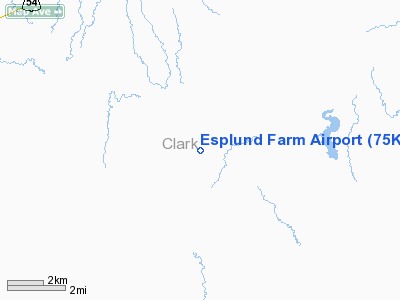
Location: |
Clark County, KS |
|
Magnetic Variation: |
08E (1990) |
Owner & Manager
|
Ownership: |
Privately owned |
|
Owner: |
Esplund Farm Inc |
|
Address: |
Hcr1 Box 133
Minneola, KS 67865 |
|
Phone number: |
316-885-4330 |
|
Manager: |
Gary L Esplund |
|
Address: |
Hcr1 Box 133
Minneola, KS 67865 |
|
Phone number: |
316-585-4330 |
Airport
Operations and Facilities
|
Airport
Use: |
Private |
|
Segmented Circle: |
No |
|
Control
Tower: |
No |
|
Sectional chart: |
Wichita |
|
Region: |
ACE - Central |
|
Boundary
ARTCC: |
ZKC - Kansas City |
|
Tie-in
FSS: |
ICT - Wichita |
|
FSS on
Airport: |
No |
|
FSS Toll
Free: |
1-800-WX-BRIEF |
|
Runway Information
Runway 18/36
|
Dimension: |
2640 x 40 ft / 804.7 x 12.2 m |
|
Surface: |
TURF, |
|
|
Runway 18
|
Runway 36
|
|
Traffic
Pattern: |
Left |
Left |
|
Obstruction: |
30 ft tree, 100.0 ft from runway |
200 ft tower, 5280.0 ft from runway |
|
Radio Navigation Aids
|
ID |
Type |
Name |
Ch |
Freq |
Var |
Dist |
|
MEJ |
NDB |
Meade |
|
389.00 |
09E |
24.4 nm |
|
BFK |
NDB |
Buffalo |
|
215.00 |
08E |
33.5 nm |
|
GC |
NDB |
Pieve |
|
347.00 |
09E |
48.8 nm |
|
DDC |
VORTAC |
Dodge City |
019X |
108.20 |
08E |
28.7 nm |
Remarks
-
PRVDD APCHS HAVE
20:1 SLOPE & TRANSITION SFCS MAINTAINED AT A 7:1 SLOPE.
Based Aircraft
|
Aircraft based
on field: |
1 |
|
Single Engine
Airplanes: |
1 |
Esplund Farm Airport
Address:
Clark County, KS
Tel:
316-885-4330
Images
and information placed above are from
http://www.airport-data.com/airport/75KS/
We
thank them for the data!
|
General Info |
| Country |
United
States |
| State |
KANSAS
|
| FAA ID |
75KS
|
| Latitude |
37-23-12.000N |
|
Longitude |
099-51-55.000W |
|
Elevation |
2555
feet |
| Near
City |
MINNEOLA
|
We don't guarantee the information is fresh and accurate. The data may
be wrong or outdated.
For more up-to-date information please refer to other sources.
|
|


