 |
|
|
Location &
QuickFacts
|
FAA
Information Effective: |
2008-06-05 |
|
Airport
Identifier: |
4KS7 |
|
Airport
Status: |
Operational |
|
Longitude/Latitude: |
097-03-54.1380W/37-33-32.0680N
-97.065038/37.558908 (Estimated) |
|
Elevation: |
1310 ft / 399.29 m (Estimated) |
|
Land: |
81 acres |
|
From
nearest city: |
3 nautical miles E of Rose Hill, KS |
|
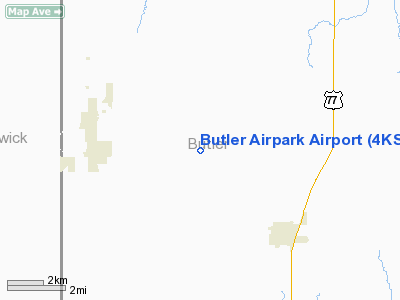
Location: |
Butler County, KS |
|
Magnetic Variation: |
07E (1985) |
Owner & Manager
|
Ownership: |
Privately owned |
|
Owner: |
Butler Airpark Homeowners Assn Inc |
|
Address: |
Po Box 14
Rose Hill, KS 67133 |
|
Phone
number: |
316-776-0371 |
|
Manager: |
Leon Perkins |
|
Address: |
18103 Sw Tawakoni Rd.
Rose Hill, KS 67133 |
|
Phone number: |
316-776-0371 |
Airport Operations and Facilities
|
Airport
Use: |
Private |
|
Wind
indicator: |
Yes |
|
Segmented Circle: |
Yes |
|
Control
Tower: |
No |
|
Sectional chart: |
Wichita |
|
Region: |
ACE - Central |
|
Boundary
ARTCC: |
ZKC - Kansas City |
|
Tie-in
FSS: |
ICT - Wichita |
|
FSS on
Airport: |
No |
|
FSS Toll
Free: |
1-800-WX-BRIEF |
|
Runway Information
Runway 01/19
|
Dimension: |
2687 x 40 ft / 819.0 x 12.2 m |
|
Surface: |
TURF, |
|
|
Runway 01
|
Runway 19
|
|
Traffic
Pattern: |
Right |
Left |
|
Obstruction: |
15 ft road, 30.0 ft from runway |
4 ft fence, 30.0 ft from runway |
|
Radio Navigation Aids
|
ID |
Type |
Name |
Ch |
Freq |
Var |
Dist |
|
EQA |
NDB |
El Dorado |
|
383.00 |
05E |
17.8 nm |
|
IC |
NDB |
Piche |
|
332.00 |
07E |
18.7 nm |
|
EGT |
NDB |
Wellington |
|
414.00 |
07E |
21.0 nm |
|
EWK |
NDB |
Newton |
|
281.00 |
06E |
31.9 nm |
|
PN |
NDB |
Ponca |
|
515.00 |
05E |
44.1 nm |
|
IAB |
TACAN |
Mc Connell |
112X |
|
07E |
10.4 nm |
|
HUT |
VOR/DME |
Hutchinson |
115X |
116.80 |
09E |
49.0 nm |
|
ICT |
VORTAC |
Wichita |
085X |
113.80 |
07E |
27.1 nm |
|
PER |
VORTAC |
Pioneer |
079X |
113.20 |
06E |
49.0 nm |
|
ICT |
VOT |
Wichita |
|
114.00 |
|
18.2 nm |
Remarks
-
ALL TRAFFIC
REMAIN EAST OF RY.
-
PRVDD MAINTAIN
20:1 APCH SLOPE; MAINTAIN 7:1 ARPT TRANSITIONAL SLOPE; ALL TFC PATTERN FLOWN E
OF ARPT.
Based Aircraft
|
Aircraft based
on field: |
8 |
|
Single Engine
Airplanes: |
6 |
|
Ultralights: |
2 |
Butler Airpark Airport
Address:
Butler County, KS
Tel:
316-776-0371
Images
and information placed above are from
http://www.airport-data.com/airport/4KS7/
We
thank them for the data!
|
General Info |
| Country |
United
States |
| State |
KANSAS
|
| FAA ID |
4KS7
|
| Latitude |
37-33-32.068N |
|
Longitude |
097-03-54.138W |
|
Elevation |
1310
feet |
| Near
City |
ROSE
HILL |
We don't guarantee the information is fresh and accurate. The data may
be wrong or outdated.
For more up-to-date information please refer to other sources.
|
|


