 |
|
|
Location &
QuickFacts
|
FAA
Information Effective: |
2008-06-05 |
|
Airport
Identifier: |
58KS |
|
Airport
Status: |
Operational |
|
Longitude/Latitude: |
097-42-31.1330W/38-55-20.0080N
-97.708648/38.922224 (Estimated) |
|
Elevation: |
1325 ft / 403.86 m (Estimated) |
|
Land: |
4 acres |
|
From
nearest city: |
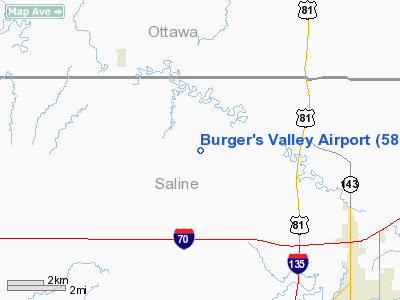
9 nautical miles NW of Salina, KS |
|
Location: |
Saline County, KS |
|
Magnetic Variation: |
07E (1980) |
Owner & Manager
|
Ownership: |
Privately owned |
|
Owner: |
Terry Burger |
|
Address: |
5024 West Shipton Road
Salina, KS 67401 |
|
Phone number: |
913-823-8440 |
|
Address: |
|
Airport Operations and Facilities
|
Airport
Use: |
Private |
|
Wind
indicator: |
Yes |
|
Segmented Circle: |
No |
|
Control
Tower: |
No |
|
Sectional chart: |
Wichita |
|
Region: |
ACE - Central |
|
Boundary
ARTCC: |
ZKC - Kansas City |
|
Tie-in
FSS: |
ICT - Wichita |
|
FSS on
Airport: |
No |
|
FSS Toll
Free: |
1-800-WX-BRIEF |
|
Runway Information
Runway 18/36
|
Dimension: |
2400 x 60 ft / 731.5 x 18.3 m |
|
Surface: |
TURF, |
|
|
Runway 18
|
Runway 36
|
|
Traffic
Pattern: |
Left |
Left |
|
Radio Navigation Aids
|
ID |
Type |
Name |
Ch |
Freq |
Var |
Dist |
|
MPR |
NDB |
Mc Pherson |
|
227.00 |
06E |
34.5 nm |
|
CYW |
NDB |
Clay Center |
|
362.00 |
07E |
37.6 nm |
|
CNK |
NDB |
Concordia |
|
335.00 |
06E |
38.0 nm |
|
LYO |
NDB |
Lyons |
|
386.00 |
06E |
42.3 nm |
|
CVY |
NDB |
Cavalry |
|
314.00 |
06E |
43.2 nm |
|
HRU |
NDB |
Herington |
|
407.00 |
06E |
44.2 nm |
|
FRI |
VOR |
Fort Riley |
|
109.40 |
06E |
39.7 nm |
|
SLN |
VORTAC |
Salina |
118X |
117.10 |
07E |
4.1 nm |
Remarks
-
PROVIDED
APPROACHES ARE MAINTAINED FOR A 20:1 GLIDE SLOPE AND TRANSITIONAL SURFACES FOR
A 7:1 SLOPE.
Based Aircraft
|
Aircraft based
on field: |
2 |
|
Single Engine
Airplanes: |
2 |
Burger's Valley Airport
Address:
Saline County, KS
Tel:
913-823-8440
Images
and information placed above are from
http://www.airport-data.com/airport/58KS/
We
thank them for the data!
|
General Info |
| Country |
United
States |
| State |
KANSAS
|
| FAA ID |
58KS
|
| Latitude |
38-55-20.008N |
|
Longitude |
097-42-31.133W |
|
Elevation |
1325
feet |
| Near
City |
SALINA
|
We don't guarantee the information is fresh and accurate. The data may
be wrong or outdated.
For more up-to-date information please refer to other sources.
|
|


