 |
|
|
Location &
QuickFacts
|
FAA
Information Effective: |
2008-06-05 |
|
Airport
Identifier: |
SN53 |
|
Airport
Status: |
Operational |
|
Longitude/Latitude: |
095-55-00.9370W/37-26-00.1810N
-95.916927/37.433384 (Estimated) |
|
Elevation: |
950 ft / 289.56 m (Estimated) |
|
Land: |
0 acres |
|
From
nearest city: |
7 nautical miles SW of Fredonia, KS |
|
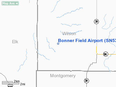
Location: |
Wilson County, KS |
|
Magnetic Variation: |
06E (1985) |
Owner & Manager
|
Ownership: |
Privately owned |
|
Owner: |
Doris J. Bonner |
|
Address: |
Rt 3
Fredonia, KS 66736 |
|
Manager: |
H Michael Bonner |
|
Address: |
Route 1
Valley Center, KS 67147 |
|
Phone number: |
316-755-0015 |
Airport
Operations and Facilities
|
Airport
Use: |
Private |
|
Wind
indicator: |
No |
|
Segmented Circle: |
No |
|
Control
Tower: |
No |
|
Landing
fee charge: |
No |
|
Sectional chart: |
Kansas City |
|
Region: |
ACE - Central |
|
Boundary
ARTCC: |
ZKC - Kansas City |
|
Tie-in
FSS: |
ICT - Wichita |
|
FSS on
Airport: |
No |
|
FSS Toll
Free: |
1-800-WX-BRIEF |
|
Runway
Information
Runway N/S
|
Dimension: |
3200 x 50 ft / 975.4 x 15.2 m |
|
Surface: |
TURF, |
|
|
Runway N
|
Runway S
|
|
Traffic
Pattern: |
Left |
Left |
|
Obstruction: |
4 ft fence |
4 ft fence, 0.0 ft from runway |
|
Radio Navigation Aids
|
ID |
Type |
Name |
Ch |
Freq |
Var |
Dist |
|
PPF |
NDB |
Parsons |
|
258.00 |
06E |
20.3 nm |
|
CFV |
NDB |
Coffeyville |
|
212.00 |
05E |
26.3 nm |
|
MSB |
NDB |
Monarch |
|
410.00 |
04E |
32.2 nm |
|
EQA |
NDB |
El Dorado |
|
383.00 |
05E |
47.6 nm |
|
CNU |
VOR/DME |
Chanute |
029X |
109.20 |
05E |
19.3 nm |
|
BVO |
VOR/DME |
Bartlesville |
126X |
117.90 |
08E |
36.3 nm |
|
OSW |
VORTAC |
Oswego |
123X |
117.60 |
08E |
37.9 nm |
Bonner Field Airport
Address:
Wilson County, KS
Tel:
316-755-0015
Images
and information placed above are from
http://www.airport-data.com/airport/SN53/
We
thank them for the data!
|
General Info |
| Country |
United
States |
| State |
KANSAS
|
| FAA ID |
SN53
|
| Latitude |
37-26-00.181N |
|
Longitude |
095-55-00.937W |
|
Elevation |
950 feet
|
| Near
City |
FREDONIA
|
We don't guarantee the information is fresh and accurate. The data may
be wrong or outdated.
For more up-to-date information please refer to other sources.
|
|


