 |
|
|
Location &
QuickFacts
|
FAA
Information Effective: |
2008-06-05 |
|
Airport
Identifier: |
51KS |
|
Airport
Status: |
Operational |
|
Longitude/Latitude: |
097-12-49.0820W/38-38-13.0190N
-97.213634/38.636950 (Estimated) |
|
Elevation: |
1420 ft / 432.82 m (Estimated) |
|
Land: |
80 acres |
|
From
nearest city: |
3 nautical miles S of Elmo, KS |
|
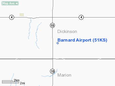
Location: |
Dickinson County, KS |
|
Magnetic Variation: |
07E (1985) |
Owner & Manager
|
Ownership: |
Privately owned |
|
Owner: |
Ken Barnard |
|
Address: |
Route 2 Box 63
Hope, KS 67451 |
|
Phone
number: |
913-949-2857 |
|
Manager: |
Ken Barnard |
|
Address: |
Route 2 Box 63
Hope, KS 67451 |
|
Phone
number: |
913-949-2857 |
Airport
Operations and Facilities
|
Airport
Use: |
Private |
|
Wind
indicator: |
Yes |
|
Segmented Circle: |
No |
|
Control
Tower: |
No |
|
Landing
fee charge: |
No |
|
Sectional chart: |
Wichita |
|
Region: |
ACE - Central |
|
Boundary
ARTCC: |
ZKC - Kansas City |
|
Tie-in
FSS: |
ICT - Wichita |
|
FSS on
Airport: |
No |
|
FSS Toll
Free: |
1-800-WX-BRIEF |
|
Runway Information
Runway 17/35
|
Dimension: |
1900 x 100 ft / 579.1 x 30.5 m |
|
Surface: |
TURF,
SLOPES DOWN TO THE SOUTH LAST 700 FT. |
|
|
Runway 17
|
Runway 35
|
|
Traffic
Pattern: |
Left |
Left |
|
Radio Navigation Aids
|
ID |
Type |
Name |
Ch |
Freq |
Var |
Dist |
|
HRU |
NDB |
Herington |
|
407.00 |
06E |
19.2 nm |
|
MPR |
NDB |
Mc Pherson |
|
227.00 |
06E |
28.2 nm |
|
CVY |
NDB |
Cavalry |
|
314.00 |
06E |
30.5 nm |
|
EWK |
NDB |
Newton |
|
281.00 |
06E |
34.5 nm |
|
MQD |
NDB |
Mc Dowell Creek |
|
391.00 |
06E |
39.8 nm |
|
CYW |
NDB |
Clay Center |
|
362.00 |
07E |
44.8 nm |
|
FRI |
VOR |
Fort Riley |
|
109.40 |
06E |
26.0 nm |
|
MHK |
VOR/DME |
Manhattan |
039X |
110.20 |
06E |
39.8 nm |
|
SLN |
VORTAC |
Salina |
118X |
117.10 |
07E |
25.8 nm |
Remarks
-
PROVIDED
APPROACHES ARE MAINTAINED FOR A 20:1 GLIDE SLOPE AND TRANSITIONAL SURFACESFOR
A 7:1 SLOPE.
Based Aircraft
|
Aircraft based
on field: |
1 |
|
Single Engine
Airplanes: |
1 |
Barnard Airport
Address:
Dickinson County, KS
Tel:
913-949-2857
Images
and information placed above are from
http://www.airport-data.com/airport/51KS/
We
thank them for the data!
|
General Info |
| Country |
United
States |
| State |
KANSAS
|
| FAA ID |
51KS
|
| Latitude |
38-38-13.019N |
|
Longitude |
097-12-49.082W |
|
Elevation |
1420
feet |
| Near
City |
ELMO
|
We don't guarantee the information is fresh and accurate. The data may
be wrong or outdated.
For more up-to-date information please refer to other sources.
|
|


