 |
|
|
Location &
QuickFacts
|
FAA
Information Effective: |
2008-06-05 |
|
Airport
Identifier: |
5KS0 |
|
Airport
Status: |
Operational |
|
Longitude/Latitude: |
097-57-41.2150W/37-05-40.0830N
-97.961449/37.094468 (Estimated) |
|
Elevation: |
1250 ft / 381.00 m (Estimated) |
|
Land: |
22 acres |
|
From
nearest city: |
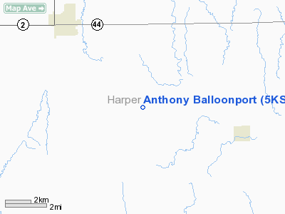
7 nautical miles SE of Anthony, KS |
|
Location: |
Harper County, KS |
|
Magnetic Variation: |
07E (1990) |
Owner & Manager
|
Ownership: |
Privately owned |
|
Owner: |
Herbert L. Wilcox |
|
Address: |
Rt 2, Box 137
Anthony, KS 67003 |
|
Phone number: |
316-842-3261 |
|
Manager: |
Herb Wilcox |
|
Address: |
Rt 2, Box 137
Anthony, KS 67003 |
|
Phone number: |
316-842-3261 |
Airport
Operations and Facilities
|
Airport
Use: |
Private |
|
Segmented Circle: |
No |
|
Control
Tower: |
No |
|
Sectional chart: |
Wichita |
|
Region: |
ACE - Central |
|
Boundary
ARTCC: |
ZKC - Kansas City |
|
Tie-in
FSS: |
ICT - Wichita |
|
FSS on
Airport: |
No |
|
FSS Toll
Free: |
1-800-WX-BRIEF |
|
Runway
Information
Runway ALL/WAY
|
Dimension: |
400 x 400 ft / 121.9 x 121.9 m |
|
Surface: |
TURF, |
|
|
Runway ALL
|
Runway WAY
|
|
Traffic
Pattern: |
Left |
Left |
|
Radio Navigation Aids
|
ID |
Type |
Name |
Ch |
Freq |
Var |
Dist |
|
EGT |
NDB |
Wellington |
|
414.00 |
07E |
30.6 nm |
|
IC |
NDB |
Piche |
|
332.00 |
07E |
37.8 nm |
|
AVK |
NDB |
Alva |
|
203.00 |
08E |
39.0 nm |
|
PN |
NDB |
Ponca |
|
515.00 |
05E |
44.4 nm |
|
IAB |
TACAN |
Mc Connell |
112X |
|
07E |
45.8 nm |
|
ODG |
VOR/DME |
Woodring |
027X |
109.00 |
08E |
44.1 nm |
|
ANY |
VORTAC |
Anthony |
076X |
112.90 |
07E |
10.8 nm |
|
ICT |
VORTAC |
Wichita |
085X |
113.80 |
07E |
43.1 nm |
|
PER |
VORTAC |
Pioneer |
079X |
113.20 |
06E |
43.8 nm |
|
END |
VORTAC |
Vance |
101X |
115.40 |
09E |
45.1 nm |
|
ICT |
VOT |
Wichita |
|
114.00 |
|
41.2 nm |
Anthony Balloonport
Address:
Harper County, KS
Tel:
316-842-3261
Images
and information placed above are from
http://www.airport-data.com/airport/5KS0/
We
thank them for the data!
|
General Info |
| Country |
United
States |
| State |
KANSAS
|
| FAA ID |
5KS0
|
| Latitude |
37-05-40.083N |
|
Longitude |
097-57-41.215W |
|
Elevation |
1250
feet |
| Near
City |
ANTHONY
|
We don't guarantee the information is fresh and accurate. The data may
be wrong or outdated.
For more up-to-date information please refer to other sources.
|
|


