 |
|
|
Location &
QuickFacts
|
FAA
Information Effective: |
2008-06-05 |
|
Airport
Identifier: |
77KS |
|
Airport
Status: |
Operational |
|
Longitude/Latitude: |
096-52-42.1190W/37-22-03.0830N
-96.878366/37.367523 (Estimated) |
|
Elevation: |
1320 ft / 402.34 m (Estimated) |
|
Land: |
200 acres |
|
From
nearest city: |
1 nautical miles S of Wilmont, KS |
|
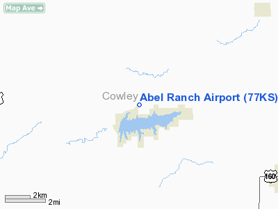
Location: |
Cowley County, KS |
|
Magnetic Variation: |
06E (1990) |
Owner & Manager
|
Ownership: |
Privately owned |
|
Owner: |
Eugene Abel |
|
Address: |
R 1 Box 156a
Winfield, KS 67156 |
|
Phone
number: |
316-221-7893 |
|
Manager: |
Eugene Abel |
|
Address: |
R 1 Box 156a
Winfield, KS 67156 |
|
Phone number: |
316-221-7893 |
Airport Operations and Facilities
|
Airport
Use: |
Private |
|
Wind
indicator: |
Yes |
|
Segmented Circle: |
No |
|
Control
Tower: |
No |
|
Sectional chart: |
Kansas City |
|
Region: |
ACE - Central |
|
Boundary
ARTCC: |
ZKC - Kansas City |
|
Tie-in
FSS: |
ICT - Wichita |
|
FSS on
Airport: |
No |
|
FSS Toll
Free: |
1-800-WX-BRIEF |
|
Runway Information
Runway 18/36
|
Dimension: |
2300 x 60 ft / 701.0 x 18.3 m |
|
Surface: |
TURF, |
|
|
Runway 18
|
Runway 36
|
|
Traffic
Pattern: |
Left |
Left |
|
Radio Navigation Aids
|
ID |
Type |
Name |
Ch |
Freq |
Var |
Dist |
|
EGT |
NDB |
Wellington |
|
414.00 |
07E |
24.6 nm |
|
EQA |
NDB |
El Dorado |
|
383.00 |
05E |
24.9 nm |
|
IC |
NDB |
Piche |
|
332.00 |
07E |
30.3 nm |
|
PN |
NDB |
Ponca |
|
515.00 |
05E |
34.3 nm |
|
EWK |
NDB |
Newton |
|
281.00 |
06E |
45.9 nm |
|
IAB |
TACAN |
Mc Connell |
112X |
|
07E |
24.1 nm |
|
PER |
VORTAC |
Pioneer |
079X |
113.20 |
06E |
39.7 nm |
|
ICT |
VORTAC |
Wichita |
085X |
113.80 |
07E |
40.6 nm |
|
ICT |
VOT |
Wichita |
|
114.00 |
|
31.0 nm |
Remarks
-
PRVDD APCHS HAVE
20:1 SLOPE & TRANSITIONAL SFCS MAINTAINED AT A 7:1 SLOPE.
Based Aircraft
|
Aircraft based
on field: |
1 |
|
Single Engine
Airplanes: |
1 |
Abel Ranch Airport
Address:
Cowley County, KS
Tel:
316-221-7893
Images
and information placed above are from
http://www.airport-data.com/airport/77KS/
We
thank them for the data!
|
General Info |
| Country |
United
States |
| State |
KANSAS
|
| FAA ID |
77KS
|
| Latitude |
37-22-03.083N |
|
Longitude |
096-52-42.119W |
|
Elevation |
1320
feet |
| Near
City |
WILMONT
|
We don't guarantee the information is fresh and accurate. The data may
be wrong or outdated.
For more up-to-date information please refer to other sources.
|
|


