 |
|
Location &
QuickFacts
|
FAA
Information Effective: |
2007-07-05 |
|
Airport
Identifier: |
IA44 |
|
Airport
Status: |
Operational |
|
Longitude/Latitude: |
093-57-38.8170W/40-39-04.9930N
-93.960782/40.651387 (Estimated) |
|
Elevation: |
1150 ft / 350.52 m (Estimated) |
|
Land: |
0 acres |
|
From
nearest city: |
3 nautical miles NW of Lamoni, IA |
|
Location: |
Decatur County, IA |
|
Magnetic Variation: |
04E (1990) |
Owner & Manager
|
Ownership: |
Privately owned |
|
Owner: |
Bill Salsman |
|
Address: |
Rr1 Box 6
Lamoni, IA 50140 |
|
Phone number: |
515-784-6281 |
|
Manager: |
Bill Salsman |
|
Address: |
Rr1 Box 6
Lamoni, IA 50140 |
|
Phone number: |
515-784-6281 |
Airport
Operations and Facilities
|
Airport
Use: |
Private |
|
Segmented Circle: |
No |
|
Control
Tower: |
No |
|
Sectional chart: |
Kansas City |
|
Region: |
ACE - Central |
|
Boundary
ARTCC: |
ZMP - Minneapolis |
|
Tie-in
FSS: |
FOD - Fort Dodge |
|
FSS on
Airport: |
No |
|
FSS
Phone: |
515-955-8114 |
|
FSS Toll
Free: |
1-800-WX-BRIEF |
|
Runway Information
Runway 18/36
|
Dimension: |
550 x 40 ft / 167.6 x 12.2 m |
|
Surface: |
TURF, |
|
|
Runway 18
|
Runway 36
|
|
Traffic
Pattern: |
Left |
Left |
|
Radio Navigation Aids
|
ID |
Type |
Name |
Ch |
Freq |
Var |
Dist |
|
UNE |
NDB |
Union County |
|
379.00 |
04E |
25.4 nm |
|
CNC |
NDB |
Chariton |
|
335.00 |
05E |
35.0 nm |
|
TRX |
NDB |
Trenton |
|
400.00 |
03E |
38.2 nm |
|
CRZ |
NDB |
Corning |
|
278.00 |
04E |
41.7 nm |
|
GFZ |
NDB |
Greenfield |
|
338.00 |
04E |
46.1 nm |
|
EVU |
NDB |
Emville |
|
317.00 |
05E |
47.3 nm |
|
TVK |
NDB |
Centerville |
|
290.00 |
04E |
48.4 nm |
|
ICL |
NDB |
Clarinda |
|
353.00 |
04E |
48.8 nm |
|
LMN |
VORTAC |
Lamoni |
114X |
116.70 |
07E |
3.3 nm |
|
DSM |
VORTAC |
Des Moines |
122X |
117.50 |
07E |
49.3 nm |
Remarks
-
PRVDS APCHS
MAINTAINED FOR A 20:1 SLOPE & TRANSITIONAL SFCS FOR A 7:1 SLOPE; TFC PATTERNS
REMAIN W OF RY.
Based
Aircraft
|
Aircraft based
on field: |
1 |
|
Ultralights: |
1 |
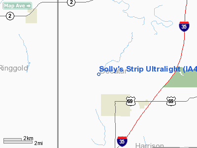
Solly's Strip Ultralight
Address:
Decatur County, IA
Tel:
515-784-6281
Images
and information placed above are from
http://www.airport-data.com/airport/IA44/
We
thank them for the data!
|
General Info |
| Country |
United
States |
| State |
IOWA
|
| FAA ID |
IA44
|
| Latitude |
40-39-04.993N |
|
Longitude |
093-57-38.817W |
|
Elevation |
1150
feet |
| Near
City |
LAMONI
|
We don't guarantee the information is fresh and accurate. The data may
be wrong or outdated.
For more up-to-date information please refer to other sources.
|
|


