 |
|
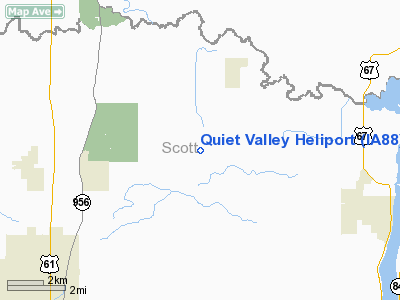
Location &
QuickFacts
|
FAA
Information Effective: |
2007-07-05 |
|
Airport
Identifier: |
IA88 |
|
Airport
Status: |
Operational |
|
Longitude/Latitude: |
090-28-05.4830W/41-42-15.1130N
-90.468190/41.704198 (Estimated) |
|
Elevation: |
504 ft / 153.62 m (Estimated) |
|
Land: |
0 acres |
|
From
nearest city: |
3 nautical miles SW of Mc Causland, IA |
|
Location: |
Scott County, IA |
|
Magnetic Variation: |
01E (1985) |
Owner & Manager
|
Ownership: |
Privately owned |
|
Owner: |
Richard M. Knox |
|
Address: |
1416 State St
Bettendorf, IA 52722 |
|
Phone number: |
319-359-0356 |
|
Manager: |
Richard M. Knox |
|
Address: |
Box K
Bettendorf, IA 52722 |
|
Phone number: |
319-359-0356 |
Airport
Operations and Facilities
|
Airport
Use: |
Private |
|
Wind
indicator: |
Yes |
|
Segmented Circle: |
Yes |
|
Control
Tower: |
No |
|
Landing
fee charge: |
No |
|
Sectional chart: |
Chicago |
|
Region: |
ACE - Central |
|
Boundary
ARTCC: |
ZAU - Chicago |
|
Tie-in
FSS: |
FOD - Fort Dodge |
|
FSS on
Airport: |
No |
|
FSS
Phone: |
515-955-8114 |
|
FSS Toll
Free: |
1-800-WX-BRIEF |
|
Runway Information
Helipad H1
|
Dimension: |
100 x 100 ft / 30.5 x 30.5 m |
|
Surface: |
TURF, |
|
|
Runway H1
|
Runway
|
|
Traffic
Pattern: |
Left |
Left |
|
Radio Navigation Aids
|
ID |
Type |
Name |
Ch |
Freq |
Var |
Dist |
|
CWI |
NDB |
Clinton |
|
377.00 |
01E |
9.8 nm |
|
OQW |
NDB |
Maquoketa |
|
386.00 |
02E |
24.2 nm |
|
BOZ |
NDB |
Whiteside |
|
254.00 |
01E |
30.6 nm |
|
EZI |
NDB |
Kewanee |
|
245.00 |
01E |
37.9 nm |
|
MXO |
NDB |
Monticello |
|
397.00 |
01E |
42.2 nm |
|
DDD |
VOR/DME |
Port City |
112X |
116.50 |
01E |
36.8 nm |
|
PLL |
VOR/DME |
Polo |
049X |
111.20 |
03E |
45.1 nm |
|
GBG |
VOR/DME |
Galesburg |
035X |
109.80 |
03E |
46.1 nm |
|
CVA |
VORTAC |
Davenport |
085X |
113.80 |
04E |
0.7 nm |
|
MZV |
VORTAC |
Moline |
091X |
114.40 |
05E |
24.3 nm |
|
DBQ |
VORTAC |
Dubuque |
105X |
115.80 |
04E |
43.3 nm |
|
DVN |
VOT |
Davenport Municipal |
|
111.80 |
|
7.7 nm |
Remarks
-
PRVDD APCH/DEP
PATHS TO THE LDG AREA ARE MAINTD FOR A MIN 8:1 GS & THE TRSNL SFC MAINTD FOR A
MIN 2:1 SLOPE.
Quiet Valley Heliport
Address:
Scott County, IA
Tel:
319-359-0356
Images
and information placed above are from
http://www.airport-data.com/airport/IA88/
We
thank them for the data!
|
General Info |
| Country |
United
States |
| State |
IOWA
|
| FAA ID |
IA88
|
| Latitude |
41-42-15.113N |
|
Longitude |
090-28-05.483W |
|
Elevation |
504 feet
|
| Near
City |
MC
CAUSLAND |
We don't guarantee the information is fresh and accurate. The data may
be wrong or outdated.
For more up-to-date information please refer to other sources.
|
|


