|
|
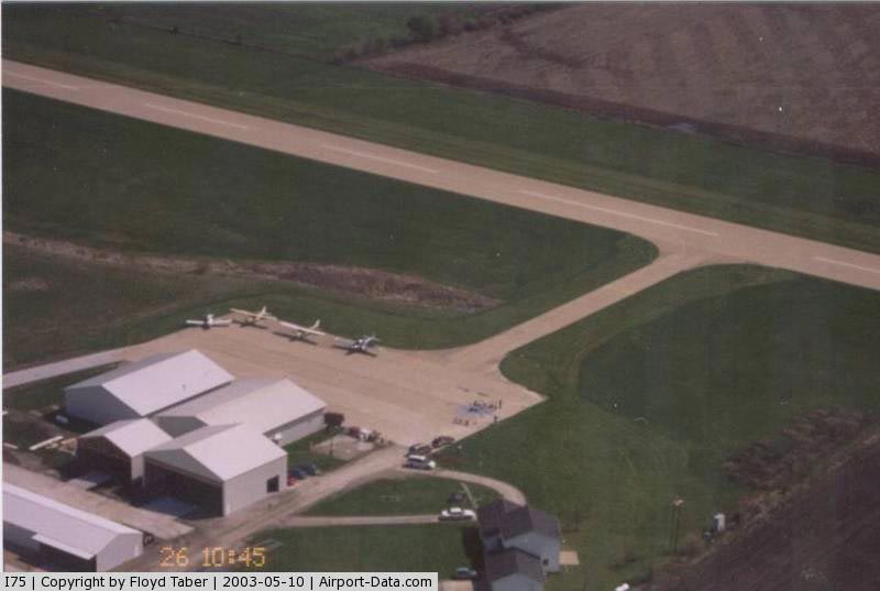
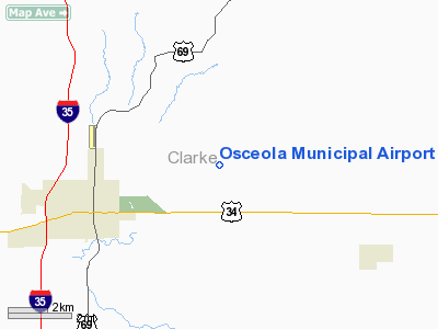
Osceola Municipal Airport |
|
 |
(Click on the photo to enlarge) |
Location &
QuickFacts
|
FAA
Information Effective: |
2007-07-05 |
|
Airport
Identifier: |
I75 |
|
Airport
Status: |
Operational |
|
Longitude/Latitude: |
093-41-22.7840W/41-03-07.9880N
-93.689662/41.052219 (Estimated) |
|
Elevation: |
1110 ft / 338.33 m (Surveyed) |
|
Land: |
81 acres |
|
From
nearest city: |
4 nautical miles NE of Osceola, IA |
|
Location: |
Clarke County, IA |
|
Magnetic Variation: |
03E (2000) |
Owner & Manager
|
Ownership: |
Publicly owned |
|
Owner: |
City Of Osceola |
|
Address: |
115 Fillmore
Osceola, IA 50213 |
|
Phone
number: |
641-347-7437 |
|
Manager: |
John Barcus
OSCEOLA AERO SVC. |
|
Address: |
Municipal Arpt
Osceola, IA 50213 |
|
Phone number: |
641-342-2928
OFFICE NUMBER 641-342-7437 |
Airport
Operations and Facilities
|
Airport
Use: |
Open to public |
|
Wind
indicator: |
Yes
WINDSOCK OTS INDEFLY. |
|
Segmented Circle: |
No |
|
Control
Tower: |
No |
|
Lighting
Schedule: |
DUSK-DAWN
ACTVT MIRL RY 18/36; PAPI RYS 18 & 36 - CTAF. |
|
Beacon
Color: |
Clear-Green (lighted land airport) |
|
Sectional chart: |
Omaha |
|
Region: |
ACE - Central |
|
Boundary
ARTCC: |
ZMP - Minneapolis |
|
Tie-in
FSS: |
FOD - Fort Dodge |
|
FSS
Phone: |
515-955-8114 |
|
FSS Toll
Free: |
1-800-WX-BRIEF |
|
NOTAMs
Facility: |
FOD (NOTAM-d service avaliable) |
|
Federal Agreements: |
NGY |
Airport Communications
|
CTAF: |
122.800 |
|
Unicom: |
122.800 |
Airport Services
|
Fuel
available: |
100LLA MOGAS |
|
Airframe
Repair: |
MAJOR |
|
Power
Plant Repair: |
MAJOR |
|
Runway Information
Runway 18/36
|
Dimension: |
4000 x 75 ft / 1219.2 x 22.9 m |
|
Surface: |
CONC, Good Condition |
|
Weight Limit: |
Single wheel: 12500 lbs. |
|
Edge Lights: |
Medium |
|
|
Runway 18
|
Runway 36
|
|
Longitude: |
093-41-20.7700W |
093-41-21.7900W |
|
Latitude: |
41-03-28.2500N |
41-02-48.7300N |
|
Elevation: |
1110.00 ft |
1110.00 ft |
|
Alignment: |
127 |
1 |
|
Traffic
Pattern: |
Left |
Left |
|
Markings: |
Non-precision instrument, Good Condition |
Non-precision instrument, Good Condition |
|
VASI: |
2-light PAPI on left side |
2-light PAPI on left side |
|
Obstruction: |
15 ft road, 700.0 ft from runway, 33:1 slope to clear |
17 ft road, 600.0 ft from runway, 23:1 slope to clear |
|
Radio Navigation Aids
|
ID |
Type |
Name |
Ch |
Freq |
Var |
Dist |
|
CNC |
NDB |
Chariton |
|
335.00 |
05E |
15.0 nm |
|
OXV |
NDB |
Knoxville |
|
284.00 |
03E |
29.9 nm |
|
UNE |
NDB |
Union County |
|
379.00 |
04E |
30.4 nm |
|
GFZ |
NDB |
Greenfield |
|
338.00 |
04E |
37.9 nm |
|
IKV |
NDB |
Ankeny |
|
275.00 |
03E |
39.3 nm |
|
PEA |
NDB |
Pella |
|
257.00 |
02E |
39.9 nm |
|
TVK |
NDB |
Centerville |
|
290.00 |
04E |
42.1 nm |
|
CRZ |
NDB |
Corning |
|
278.00 |
04E |
48.5 nm |
|
DSM |
VORTAC |
Des Moines |
122X |
117.50 |
07E |
23.2 nm |
|
LMN |
VORTAC |
Lamoni |
114X |
116.70 |
07E |
30.2 nm |
|
DSM |
VOT |
Des Moines |
|
109.20 |
|
29.3 nm |
Remarks
-
ULTRALIGHT ACTVY
ON & INVOF ARPT.
-
RY 18 IS CALM
WIND RY.
-
AIRSPACE DETERMINATION
PENDING.
Based
Aircraft
|
Aircraft based
on field: |
23 |
|
Single Engine
Airplanes: |
18 |
|
Ultralights: |
5 |
Operational Statistics
Time Period: 2003-08-26 - 2004-08-24
|
Aircraft
Operations: |
76/Week |
|
General
Aviation Local: |
80.0% |
|
General
Aviation Itinerant: |
20.0% |
Osceola Municipal Airport
Address:
Clarke County, IA
Tel:
641-347-7437,
641-342-2928
Images
and information placed above are from
http://www.airport-data.com/airport/I75/
We
thank them for the data!
|
General Info |
| Country |
United
States |
| State |
IOWA
|
| FAA ID |
I75
|
| Latitude |
41-03-07.988N |
|
Longitude |
093-41-22.784W |
|
Elevation |
1110
feet |
| Near
City |
OSCEOLA
|
We don't guarantee the information is fresh and accurate. The data may
be wrong or outdated.
For more up-to-date information please refer to other sources.
|
|