 |
|
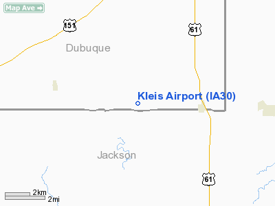
Location &
QuickFacts
|
FAA
Information Effective: |
2007-07-05 |
|
Airport
Identifier: |
IA30 |
|
Airport
Status: |
Operational |
|
Longitude/Latitude: |
090-45-00.4730W/42-18-00.0370N
-90.750131/42.300010 (Estimated) |
|
Elevation: |
1050 ft / 320.04 m (Estimated) |
|
Land: |
0 acres |
|
From
nearest city: |
3 nautical miles NW of Zwingle, IA |
|
Location: |
Dubuque County, IA |
|
Magnetic Variation: |
01E (1985) |
Owner & Manager
|
Ownership: |
Privately owned |
|
Owner: |
Richard Kleis |
|
Address: |
661 Bennettville Road
Zwingle, IA 52079 |
|
Phone number: |
563-773-2706 |
|
Manager: |
Richard Kleis |
|
Address: |
661 Bennettville Road
Zwingle, IA 52079 |
|
Phone number: |
563-773-2706 |
Airport Operations and Facilities
|
Airport Use: |
Private |
|
Wind indicator: |
Yes |
|
Segmented Circle: |
No |
|
Control Tower: |
No |
|
Landing fee charge: |
No |
|
Sectional chart: |
Chicago |
|
Region: |
ACE - Central |
|
Boundary ARTCC: |
ZAU - Chicago |
|
Tie-in FSS: |
FOD - Fort Dodge |
|
FSS on Airport: |
No |
|
FSS Phone: |
515-955-8114 |
|
FSS Toll Free: |
1-800-WX-BRIEF |
Airport Services
|
Airframe
Repair: |
NONE |
|
Power
Plant Repair: |
NONE |
|
Runway Information
Runway 08/26
|
Dimension: |
1500 x 66 ft / 457.2 x 20.1 m |
|
Surface: |
TURF, |
|
|
Runway 08
|
Runway 26
|
|
Traffic
Pattern: |
Left |
Left |
|
Radio Navigation Aids
|
ID |
Type |
Name |
Ch |
Freq |
Var |
Dist |
|
OQW |
NDB |
Maquoketa |
|
386.00 |
02E |
14.9 nm |
|
MXO |
NDB |
Monticello |
|
397.00 |
01E |
18.2 nm |
|
PVB |
NDB |
Platteville |
|
203.00 |
01E |
27.2 nm |
|
CWI |
NDB |
Clinton |
|
377.00 |
01E |
34.0 nm |
|
MRJ |
NDB |
Mineral Point |
|
365.00 |
00W |
42.3 nm |
|
DBQ |
VORTAC |
Dubuque |
105X |
115.80 |
04E |
6.4 nm |
|
CVA |
VORTAC |
Davenport |
085X |
113.80 |
04E |
37.5 nm |
|
DVN |
VOT |
Davenport Municipal |
|
111.80 |
|
42.1 nm |
Based Aircraft
|
Aircraft based
on field: |
1 |
|
Single Engine
Airplanes: |
1 |
Kleis Airport
Address:
Dubuque County, IA
Tel:
563-773-2706
Images
and information placed above are from
http://www.airport-data.com/airport/IA30/
We
thank them for the data!
|
General Info |
| Country |
United
States |
| State |
IOWA
|
| FAA ID |
IA30
|
| Latitude |
42-18-00.037N |
|
Longitude |
090-45-00.473W |
|
Elevation |
1050
feet |
| Near
City |
ZWINGLE
|
We don't guarantee the information is fresh and accurate. The data may
be wrong or outdated.
For more up-to-date information please refer to other sources.
|
|


