 |
|
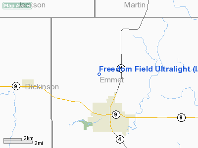
Location &
QuickFacts
|
FAA
Information Effective: |
2007-07-05 |
|
Airport
Identifier: |
IA52 |
|
Airport
Status: |
Operational |
|
Longitude/Latitude: |
094-50-52.9530W/43-26-34.8500N
-94.848042/43.443014 (Estimated) |
|
Elevation: |
1350 ft / 411.48 m (Estimated) |
|
Land: |
20 acres |
|
From
nearest city: |
3 nautical miles NW of Estherville, IA |
|
Location: |
Emmet County, IA |
|
Magnetic Variation: |
04E (1995) |
Owner & Manager
|
Ownership: |
Privately owned |
|
Owner: |
Don E Johnson |
|
Address: |
1411 375 Th Ave
Estherville, IA 51339 |
|
Phone number: |
712-362-4093 |
|
Manager: |
Don E Johnson |
|
Address: |
1411 375 Th Ave
Estherville, IA 51339 |
|
Phone number: |
712-362-4093 |
Airport
Operations and Facilities
|
Airport
Use: |
Private |
|
Wind
indicator: |
Yes |
|
Segmented Circle: |
No |
|
Control
Tower: |
No |
|
Sectional chart: |
Omaha |
|
Region: |
ACE - Central |
|
Boundary
ARTCC: |
ZMP - Minneapolis |
|
Tie-in
FSS: |
FOD - Fort Dodge |
|
FSS on
Airport: |
No |
|
FSS
Phone: |
515-955-8114 |
|
FSS Toll
Free: |
1-800-WX-BRIEF |
|
Runway Information
Runway 15/33
|
Dimension: |
1000 x 60 ft / 304.8 x 18.3 m |
|
Surface: |
TURF, |
|
|
Runway 15
|
Runway 33
|
|
Traffic
Pattern: |
Left |
Left |
|
Radio Navigation Aids
|
ID |
Type |
Name |
Ch |
Freq |
Var |
Dist |
|
PUF |
NDB |
Puff |
|
345.00 |
04E |
7.3 nm |
|
MJQ |
NDB |
Jackson |
|
353.00 |
04E |
13.7 nm |
|
EGQ |
NDB |
Emmetsburg |
|
410.00 |
04E |
21.5 nm |
|
LTU |
NDB |
Little Sioux |
|
326.00 |
05E |
22.7 nm |
|
MWM |
NDB |
Windom |
|
203.00 |
03E |
30.2 nm |
|
AXA |
NDB |
Algona |
|
403.00 |
03E |
33.3 nm |
|
SBU |
NDB |
Blue Earth |
|
332.00 |
04E |
34.0 nm |
|
JYG |
NDB |
St James |
|
260.00 |
04E |
35.0 nm |
|
ISB |
NDB |
Sibley |
|
269.00 |
05E |
39.8 nm |
|
POH |
NDB |
Pocahontas |
|
428.00 |
06E |
42.8 nm |
|
SHL |
NDB |
Sheldon |
|
338.00 |
05E |
45.2 nm |
|
EST |
VOR |
Estherville |
|
110.40 |
07E |
5.0 nm |
|
FRM |
VOR/DME |
Fairmont |
039X |
110.20 |
07E |
22.2 nm |
|
SPW |
VOR/DME |
Spencer |
037X |
110.00 |
05E |
22.9 nm |
|
OTG |
VOR/DME |
Worthington |
043X |
110.60 |
08E |
34.2 nm |
|
DDL |
VOR/DME |
Sheldon |
023X |
108.60 |
05E |
45.3 nm |
Remarks
-
PRVDD A CLEAR
APCH TO EA RY FOR A 20:1 GS & A CLEAR TRANSITIONAL SFC FOR A 7:1 SLOPE.
Based
Aircraft
|
Aircraft based
on field: |
2 |
|
Single Engine
Airplanes: |
1 |
|
Gliders: |
1 |
Freedom Field Ultralight
Address:
Emmet County, IA
Tel:
712-362-4093
Images
and information placed above are from
http://www.airport-data.com/airport/IA52/
We
thank them for the data!
We don't guarantee the information is fresh and accurate. The data may
be wrong or outdated.
For more up-to-date information please refer to other sources.
|
|


