 |
|
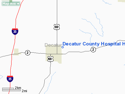
Decatur County Hospital Heliport |
Location &
QuickFacts
|
FAA
Information Effective: |
2007-07-05 |
|
Airport
Identifier: |
6IA0 |
|
Airport
Status: |
Operational |
|
Longitude/Latitude: |
093-44-08.7960W/40-45-02.0060N
-93.735777/40.750557 (Estimated) |
|
Elevation: |
1100 ft / 335.28 m (Estimated) |
|
Land: |
0 acres |
|
From
nearest city: |
0 nautical miles N of Leon, IA |
|
Location: |
Decatur County, IA |
|
Magnetic Variation: |
04E (1990) |
Owner & Manager
|
Ownership: |
Publicly owned |
|
Owner: |
Decatur County Hospital |
|
Address: |
1405 North West Church Street
Leon, IA 50144 |
|
Phone
number: |
515-446-4871 |
|
Manager: |
Decatur County Hospital |
|
Address: |
1405 North West Church Street
Leon, IA 50144 |
|
Phone number: |
515-446-4871 |
Airport Operations and Facilities
|
Airport
Use: |
Private
MEDICAL USE. |
|
Wind
indicator: |
Yes |
|
Segmented Circle: |
No |
|
Control
Tower: |
No |
|
Sectional chart: |
Omaha |
|
Region: |
ACE - Central |
|
Boundary
ARTCC: |
ZMP - Minneapolis |
|
Tie-in
FSS: |
FOD - Fort Dodge |
|
FSS on
Airport: |
No |
|
FSS
Phone: |
515-955-8114 |
|
FSS Toll
Free: |
1-800-WX-BRIEF |
|
Runway Information
Helipad H1
|
Dimension: |
50 x 50 ft / 15.2 x 15.2 m |
|
Surface: |
CONC, |
|
|
Runway H1
|
Runway
|
|
Traffic
Pattern: |
Left |
Left |
|
Radio Navigation Aids
|
ID |
Type |
Name |
Ch |
Freq |
Var |
Dist |
|
CNC |
NDB |
Chariton |
|
335.00 |
05E |
23.3 nm |
|
UNE |
NDB |
Union County |
|
379.00 |
04E |
30.5 nm |
|
TVK |
NDB |
Centerville |
|
290.00 |
04E |
38.3 nm |
|
TRX |
NDB |
Trenton |
|
400.00 |
03E |
40.8 nm |
|
OXV |
NDB |
Knoxville |
|
284.00 |
03E |
43.2 nm |
|
GFZ |
NDB |
Greenfield |
|
338.00 |
04E |
47.2 nm |
|
CRZ |
NDB |
Corning |
|
278.00 |
04E |
48.7 nm |
|
LMN |
VORTAC |
Lamoni |
114X |
116.70 |
07E |
14.0 nm |
|
DSM |
VORTAC |
Des Moines |
122X |
117.50 |
07E |
41.4 nm |
|
DSM |
VOT |
Des Moines |
|
109.20 |
|
47.5 nm |
Remarks
-
PRVDD CLEAR APCH/DEP
PATHS FOR MIN 8:1 GLIDE SLOPE; CLEAR TRANSITIONAL SFC FOR MIN 2:1; PLINE AND
POLES MDK WITH DAY-GLO ORANGE MARKER BALLS; REMOVE LIGHT POLE IMMEDIATELY
SOUTH OF PAD.
Decatur County Hospital Heliport
Address:
Decatur County, IA
Tel:
515-446-4871
Images
and information placed above are from
http://www.airport-data.com/airport/6IA0/
We
thank them for the data!
|
General Info |
| Country |
United
States |
| State |
IOWA
|
| FAA ID |
6IA0
|
| Latitude |
40-45-02.006N |
|
Longitude |
093-44-08.796W |
|
Elevation |
1100
feet |
| Near
City |
LEON
|
We don't guarantee the information is fresh and accurate. The data may
be wrong or outdated.
For more up-to-date information please refer to other sources.
|
|


