|
|
|
 |
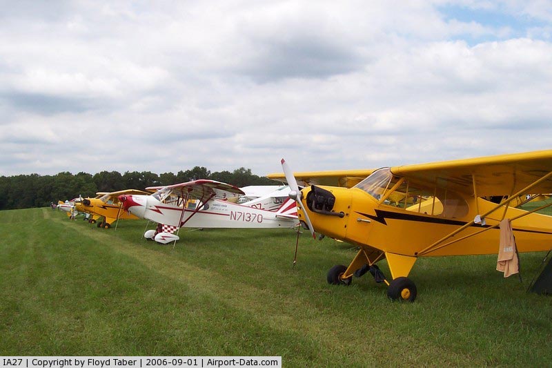
(Click on the photo to enlarge) |
|
 |
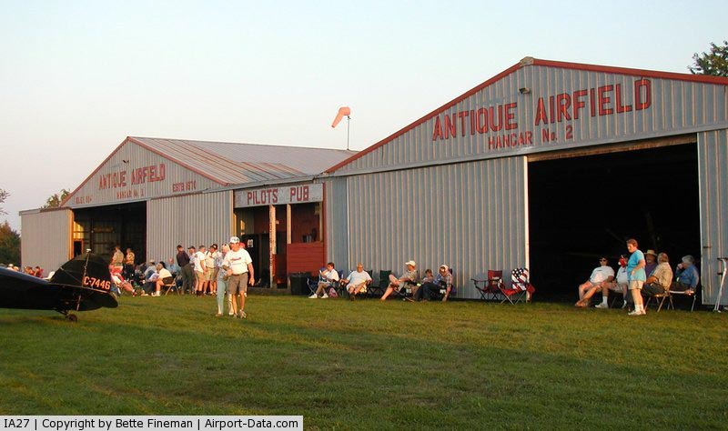
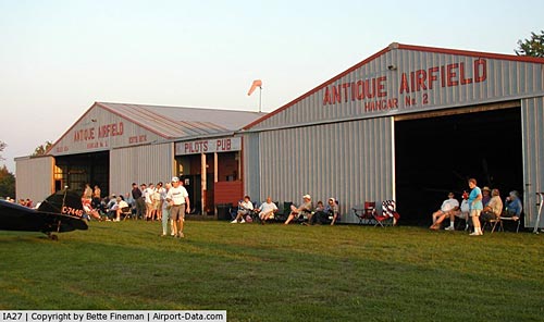
(Click on the photo to enlarge) |
|
 |
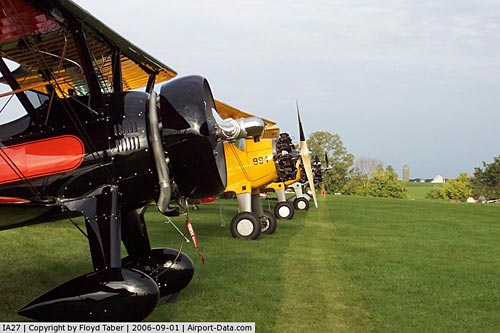
(Click on the photo to enlarge) |
Location
& QuickFacts
|
FAA Information Effective: |
2007-07-05 |
|
Airport
Identifier: |
IA27 |
|
Airport
Status: |
Operational |
|
Longitude/Latitude: |
092-35-15.6820W/40-58-40.0460N
-92.587689/40.977791 (Estimated) |
|
Elevation: |
890 ft / 271.27 m (Estimated) |
|
Land: |
179 acres |
|
From
nearest city: |
3 nautical miles NE of Blakesburg, IA |
|
Location: |
Wapello County, IA |
|
Magnetic Variation: |
03E (1985) |
Owner
& Manager
|
Ownership: |
Privately owned |
|
Owner: |
Airpower Museum & R Taylor |
|
Address: |
22001 Bluegrass Road
Ottumwa, IA 52501 |
|
Phone
number: |
515-938-2773 |
|
Manager: |
Robert L. Taylor, Pres
BRENT TAYLOR, EXEC DIR. |
|
Address: |
22001 Bluegrass Road
Ottumwa, IA 52501 |
|
Phone number: |
515-938-2773 |
Airport
Operations and Facilities
|
Airport Use: |
Private |
|
Wind indicator: |
Yes |
|
Segmented Circle: |
No |
|
Control Tower: |
No |
|
Landing fee charge: |
No |
|
Sectional chart: |
Chicago |
|
Region: |
ACE - Central |
|
Boundary ARTCC: |
ZAU - Chicago |
|
Tie-in FSS: |
FOD - Fort Dodge |
|
FSS on Airport: |
No |
|
FSS Phone: |
515-955-8114 |
|
FSS Toll Free: |
1-800-WX-BRIEF |
Airport
Services
|
Airframe Repair: |
MINOR |
|
Power Plant Repair: |
MINOR |
|
Bottled
Oxygen: |
NONE |
|
Bulk
Oxygen: |
NONE |
|
Runway Information
Runway 18/36
|
Dimension: |
2350 x 175 ft / 716.3 x 53.3 m |
|
Surface: |
TURF, Good Condition |
|
|
Runway 18 |
Runway 36 |
|
Traffic
Pattern: |
Left |
Left |
|
Obstruction: |
20 ft trees, 600.0 ft from runway, 30:1 slope
to clear |
4 ft fence, 0.0 ft from runway |
|
Radio Navigation
Aids
|
ID |
Type |
Name |
Ch |
Freq |
Var |
Dist |
|
OOA |
NDB |
Oskaloosa |
|
414.00 |
03E |
15.6 nm |
|
BEX |
NDB |
Bloomfield |
|
269.00 |
02E |
15.7 nm |
|
TVK |
NDB |
Centerville |
|
290.00 |
04E |
22.5 nm |
|
FFL |
NDB |
Fairfield |
|
332.00 |
03E |
27.3 nm |
|
PEA |
NDB |
Pella |
|
257.00 |
02E |
30.3 nm |
|
OXV |
NDB |
Knoxville |
|
284.00 |
03E |
30.6 nm |
|
CNC |
NDB |
Chariton |
|
335.00 |
05E |
35.2 nm |
|
GGI |
NDB |
Grinnell |
|
248.00 |
02E |
44.5 nm |
|
AWG |
NDB |
Washington |
|
219.00 |
02E |
45.2 nm |
|
MPZ |
NDB |
Mount Pleasant |
|
212.00 |
02E |
49.0 nm |
|
OTM |
VOR/DME |
Ottumwa |
053X |
111.60 |
06E |
12.3 nm |
Remarks
- MODEL
ACFT OPERS ON FIELD.
- HEAVY
GEN AVN OPNS DURG ANNUAL ANTIQUE ACFT FLY-IN.
- RY
18/36 SOFT IN SPRING; FOR RY CONDITIONS CALL 515-938-2773/2147.
- ARPT
CLSD WINTER MONTHS.
Based Aircraft
|
Aircraft
based on field: |
9 |
|
Single
Engine Airplanes: |
9 |
Operational Statistics
Time Period: 1992-06-23
- 1993-06-22
|
Aircraft
Operations: |
260/Week |
|
General
Aviation Local: |
70.0% |
|
General
Aviation Itinerant: |
30.0% |
Antique Airfield Airport
Address:
Wapello County, IA
Tel:
515-938-2773
Images
and information placed above are from
http://www.airport-data.com/airport/IA27/
We
thank them for the data!
| General
Info |
| Country |
United
States |
| State |
IOWA
|
| FAA ID |
IA27
|
| Latitude |
40-58-40.046N
|
| Longitude |
092-35-15.682W
|
| Elevation |
890 feet
|
| Near City |
BLAKESBURG
|
We don't guarantee the information is fresh and accurate. The data may
be wrong or outdated.
For more up-to-date information please refer to other sources.
|
|