 |
|
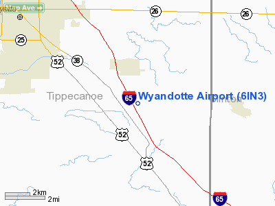
Location & QuickFacts
|
FAA
Information Effective: |
2008-06-05 |
|
Airport
Identifier: |
6IN3 |
| Airport
Status: |
Operational |
|
Longitude/Latitude: |
086-45-50.0000W/40-20-57.0000N
-86.763889/40.349167 (Estimated) |
|
Elevation: |
700
ft / 213.36 m (Estimated) |
|
Land: |
0 acres |
| From
nearest city: |
8
nautical miles SE of Lafayette, IN |
|
Location: |
Tippecanoe County, IN |
|
Magnetic Variation: |
02W
(1995) |
Owner & Manager
|
Ownership: |
Privately
owned |
| Owner: |
Wyandotte
Air Park Llc |
|
Address: |
220 West Stadium Ave
West
Lafayette, IN 47906 |
| Phone
number: |
765-743-4374 |
|
Manager: |
Alice R. Abbott |
| Address: |
220
West Stadium Ave
West
Lafayette, IN 47906 |
|
Phone
number: |
765-743-4374 |
Airport
Operations and Facilities
|
Airport
Use: |
Private |
|
Segmented
Circle: |
No |
| Control
Tower: |
No |
|
Sectional
chart: |
Chicago |
| Region: |
AGL
- Great Lakes |
|
Boundary
ARTCC: |
ZAU - Chicago |
| Tie-in
FSS: |
HUF
- Terre Haute |
|
FSS Toll
Free: |
1-800-WX-BRIEF |
|
Runway Information
Runway 09/27
|
Dimension: |
2100 x 80 ft
/ 640.1 x 24.4 m |
|
Surface: |
TURF, |
|
|
Runway 09 |
Runway 27 |
| Traffic
Pattern: |
Left |
Left |
|
Displaced
threshold: |
0.00 ft |
400.00 ft
RY 27 DSPLCD THLD MKD WITH ORANGE CONES. |
|
Obstruction: |
23
ft road, 300.0 ft from runway |
30
ft pline, 46.0 ft from runway |
|
Radio Navigation Aids
|
ID |
Type |
Name |
Ch |
Freq |
Var |
Dist |
| FKR |
NDB |
Frankfort |
|
278.00 |
02W |
10.4
nm |
|
MCX |
NDB |
White County |
|
377.00 |
03W |
21.7 nm |
| CFJ |
NDB |
Crawfordsville |
|
388.00 |
02W |
23.2
nm |
|
GGP |
NDB |
Logansport |
|
263.00 |
01W |
28.0 nm |
| HZP |
NDB |
Zionsville |
|
248.00 |
03W |
34.1
nm |
|
TVX |
NDB |
Greencastle |
|
521.00 |
03W |
38.2 nm |
| RZL |
NDB |
Rensselaer |
|
362.00 |
02W |
40.7
nm |
|
UMP |
NDB |
Metropolitan |
|
338.00 |
03W |
41.1 nm |
| RWN |
NDB |
Winamac/dcmsnd |
|
335.00 |
00W |
45.4
nm |
|
BVT |
VORTAC |
Boiler |
098X |
115.10 |
01E |
18.7 nm |
| GUS |
VORTAC |
Grissom |
21Y |
108.45 |
02W |
33.1
nm |
|
OKK |
VORTAC |
Kokomo |
082X |
113.50 |
00E |
34.0 nm |
| DNV |
VORTAC |
Danville |
047X |
111.00 |
02E |
36.5
nm |
|
VHP |
VORTAC |
Brickyard |
110X |
116.30 |
01E |
36.9 nm |
| IND |
VOT |
Indianapolis
Intl |
|
109.60 |
|
43.6
nm |
Remarks
- 150
FT OR LESS TOWER 2500 FT S OF RY.
- SEE
AIRSPACE CASE 99-AGL-447-NRA.
Wyandotte Airport
Address:
Tippecanoe County, IN
Tel:
765-743-4374
Images
and information placed above are from
http://www.airport-data.com/airport/6IN3/
We
thank them for the data!
| General
Info |
| Country |
United
States |
| State |
INDIANA
|
| FAA ID |
6IN3 |
| Latitude |
40-20-57.000N
|
| Longitude |
086-45-50.000W
|
| Elevation |
700 feet
|
| Near City |
LAFAYETTE
|
We don't guarantee the information is fresh and accurate. The data may
be wrong or outdated.
For more up-to-date information please refer to other sources.
|
|


