 |
|
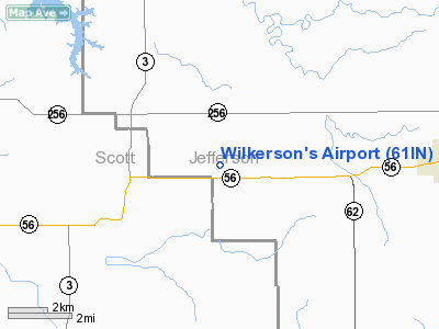
Location & QuickFacts
|
FAA
Information Effective: |
2008-06-05 |
|
Airport
Identifier: |
61IN |
| Airport
Status: |
Operational |
|
Longitude/Latitude: |
085-36-12.8660W/38-42-49.2110N
-85.603574/38.713670 (Estimated) |
|
Elevation: |
730
ft / 222.50 m (Estimated) |
|
Land: |
0 acres |
| From
nearest city: |
8
nautical miles E of Scottsburg, IN |
|
Location: |
Jefferson County, IN |
|
Magnetic Variation: |
02W
(1985) |
Owner
& Manager
|
Ownership: |
Privately
owned |
|
Owner: |
Fred
& Hazel Wilkerson |
|
Address: |
8108 W Sr 56
Lexington, IN 47138 |
|
Phone number: |
812-866-2825 |
|
Manager: |
Fred & Hazel Wilkerson |
|
Address: |
8108
W Sr 56
Lexington, IN 47138 |
|
Phone
number: |
812-866-2825 |
Airport Operations and Facilities
|
Airport
Use: |
Private |
|
Wind indicator: |
Yes |
|
Segmented Circle: |
No |
|
Control
Tower: |
No |
| Landing
fee charge: |
No |
|
Sectional
chart: |
St Louis |
| Region: |
AGL
- Great Lakes |
|
Boundary
ARTCC: |
ZID - Indianapolis |
| Tie-in
FSS: |
HUF
- Terre Haute |
|
FSS on Airport: |
No |
| FSS
Toll Free: |
1-800-WX-BRIEF |
|
Runway Information
Runway 18/36
|
Dimension: |
1550 x 60 ft
/ 472.4 x 18.3 m |
| Surface: |
TURF,
|
|
|
Runway 18 |
Runway 36 |
|
Traffic Pattern: |
Left |
Left |
|
Radio Navigation Aids
|
ID |
Type |
Name |
Ch |
Freq |
Var |
Dist |
| IMS |
NDB |
Madison |
|
404.00 |
03W |
7.3
nm |
|
EQZ |
NDB |
Captain |
|
308.00 |
02W |
19.6 nm |
| OVO |
NDB |
North
Vernon |
|
374.00 |
02W |
20.2
nm |
|
BA |
NDB |
Clifs |
|
410.00 |
03W |
37.9 nm |
| BFR |
NDB |
Bedford |
|
344.00 |
02W |
39.8
nm |
|
HLB |
NDB |
Batesville |
|
254.00 |
02W |
41.5 nm |
| UR |
NDB |
Burln |
|
321.00 |
04W |
43.7
nm |
|
RRJ |
NDB |
Oranj |
|
368.00 |
02W |
44.8 nm |
| FEU |
NDB |
Arnold |
|
521.00 |
03W |
47.5
nm |
|
GOI |
NDB |
Godman |
|
396.00 |
02W |
48.7 nm |
| FFT |
VOR |
Frankfort |
|
109.40 |
03W |
45.7
nm |
|
BQM |
VOR/DME |
Bowman |
059X |
112.20 |
01W |
29.2 nm |
| ABB |
VORTAC |
Nabb |
071X |
112.40 |
01E |
7.7
nm |
|
IIU |
VORTAC |
Louisville |
095X |
114.80 |
01E |
36.7 nm |
| CVG |
VORTAC |
Cincinnati |
120X |
117.30 |
04W |
45.9
nm |
|
SDF |
VOT |
Louisville Standifd |
|
111.00 |
|
32.8 nm |
Based Aircraft
|
Aircraft
based on field: |
2 |
|
Single Engine Airplanes: |
2 |
Wilkerson's Airport
Address:
Jefferson County, IN
Tel:
812-866-2825
Images
and information placed above are from
http://www.airport-data.com/airport/61IN/
We
thank them for the data!
| General
Info |
| Country |
United
States |
| State |
INDIANA
|
| FAA ID |
61IN |
| Latitude |
38-42-49.211N
|
| Longitude |
085-36-12.866W
|
| Elevation |
730 feet
|
| Near City |
SCOTTSBURG
|
We don't guarantee the information is fresh and accurate. The data may
be wrong or outdated.
For more up-to-date information please refer to other sources.
|
|


