 |
|
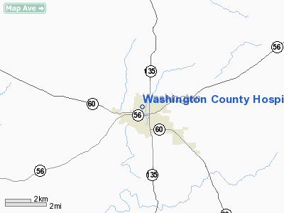
Washington County Hospital Heliport |
Location & QuickFacts
|
FAA
Information Effective: |
2008-06-05 |
|
Airport
Identifier: |
86IN |
| Airport
Status: |
Operational |
|
Longitude/Latitude: |
086-06-25.0000W/38-36-48.0000N
-86.106944/38.613333 (Estimated) |
|
Elevation: |
776
ft / 236.52 m (Estimated) |
|
Land: |
0 acres |
| From
nearest city: |
1
nautical miles NE of Salem, IN |
|
Location: |
Washington County, IN |
|
Magnetic Variation: |
03W
(1995) |
Owner & Manager
|
Ownership: |
Privately
owned |
| Owner: |
Washington
Co Meml Hospital |
|
Address: |
911 N Shelby St
Salem,
IN 47167 |
| Phone
number: |
812-883-8550 |
|
Manager: |
Rodney Coats |
| Address: |
911
N Shelby St
Salem,
IN 47167 |
|
Phone
number: |
812-883-8550 |
Airport
Operations and Facilities
|
Airport
Use: |
Private
MEDICAL USE. |
|
Segmented
Circle: |
No |
| Control
Tower: |
No |
|
Lighting
Schedule: |
DUSK-DAWN |
|
Sectional chart: |
St
Louis |
|
Region: |
AGL - Great Lakes |
| Boundary
ARTCC: |
ZID
- Indianapolis |
|
Tie-in FSS: |
HUF - Terre Haute |
| FSS
on Airport: |
No |
|
FSS Toll
Free: |
1-800-WX-BRIEF |
|
Runway Information
Helipad H1
|
Dimension: |
50 x 50 ft /
15.2 x 15.2 m |
|
Surface: |
CONC, |
|
|
Runway H1 |
Runway |
| Traffic
Pattern: |
Left |
Left |
|
Radio Navigation Aids
|
ID |
Type |
Name |
Ch |
Freq |
Var |
Dist |
| EQZ |
NDB |
Captain |
|
308.00 |
02W |
16.5
nm |
|
RRJ |
NDB |
Oranj |
|
368.00 |
02W |
20.4 nm |
| BFR |
NDB |
Bedford |
|
344.00 |
02W |
20.6
nm |
|
IMS |
NDB |
Madison |
|
404.00 |
03W |
31.6 nm |
| BM |
NDB |
Claye |
|
382.00 |
02W |
35.2
nm |
|
OVO |
NDB |
North Vernon |
|
374.00 |
02W |
35.3 nm |
| GOI |
NDB |
Godman |
|
396.00 |
02W |
39.8
nm |
|
FNZ |
NDB |
Ferdinand |
|
239.00 |
00E |
40.8 nm |
| BA |
NDB |
Clifs |
|
410.00 |
03W |
44.7
nm |
|
TEL |
NDB |
Tell City |
|
206.00 |
02W |
45.3 nm |
| DCY |
NDB |
Washington |
|
212.00 |
03W |
48.4
nm |
|
MYS |
VOR |
Mystic |
|
108.20 |
01W |
43.7 nm |
| BQM |
VOR/DME |
Bowman |
059X |
112.20 |
01W |
31.0
nm |
|
FTK |
VOR/DME |
Fort Knox |
033X |
109.60 |
01W |
42.9 nm |
| HNB |
VOR/DME |
Huntingburg |
029X |
109.20 |
00E |
45.6
nm |
|
ABB |
VORTAC |
Nabb |
071X |
112.40 |
01E |
22.2 nm |
| IIU |
VORTAC |
Louisville |
095X |
114.80 |
01E |
39.5
nm |
|
OOM |
VORTAC |
Hoosier |
039X |
110.20 |
02W |
39.7 nm |
| SDF |
VOT |
Louisville
Standifd |
|
111.00 |
|
31.5
nm |
Remarks
- (H1-40)
PERIMETER LGTS.
- PRVDD
ALL APCH/DEP FM 330 CLOCKWISE TO 105; AREA IS MKD; WIND INDICATOR IS
MAINTAINED; COMPLY WITH FAR PART 91.127(B)(2).
Washington County Hospital Heliport
Address:
Washington County, IN
Tel:
812-883-8550
Images
and information placed above are from
http://www.airport-data.com/airport/86IN/
We
thank them for the data!
| General
Info |
| Country |
United
States |
| State |
INDIANA
|
| FAA ID |
86IN |
| Latitude |
38-36-48.000N
|
| Longitude |
086-06-25.000W
|
| Elevation |
776 feet
|
| Near City |
SALEM
|
We don't guarantee the information is fresh and accurate. The data may
be wrong or outdated.
For more up-to-date information please refer to other sources.
|
|


