|
|
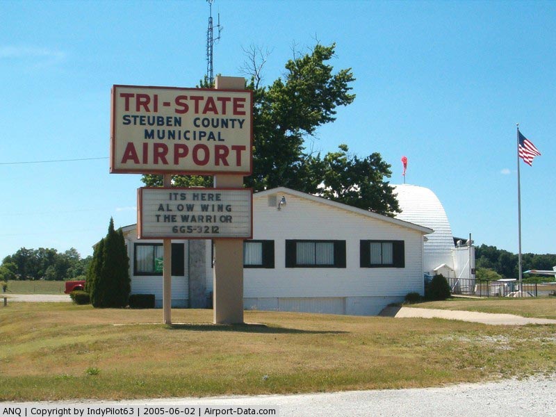
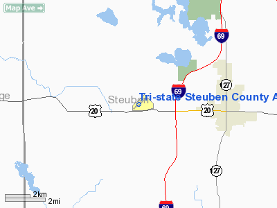
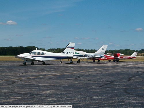
Tri-state Steuben County Airport |
|
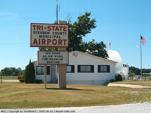 |
(Click on the photo to enlarge) |
|
 |
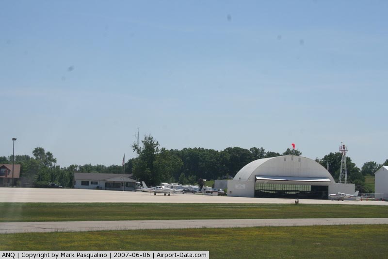
(Click on the photo to enlarge) |
|
 |
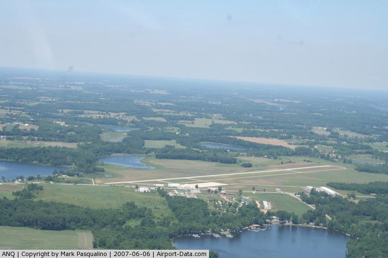
(Click on the photo to enlarge) |
|
 |
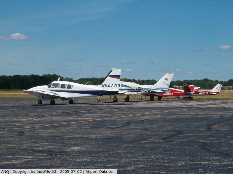
(Click on the photo to enlarge) |
Location
& QuickFacts
|
FAA
Information Effective: |
2008-06-05 |
|
Airport
Identifier: |
ANQ |
|
Airport
Status: |
Operational |
|
Longitude/Latitude: |
085-05-00.5760W/41-38-22.9140N
-85.083493/41.639698 (Estimated) |
|
Elevation: |
995
ft / 303.28 m (Surveyed) |
|
Land: |
392 acres |
|
From nearest
city: |
3
nautical miles W of Angola, IN |
|
Location: |
Steuben County, IN |
|
Magnetic
Variation: |
05W
(2000) |
Owner
& Manager
|
Ownership: |
Publicly
owned |
|
Owner: |
Steuben
Co Boac |
|
Address: |
5220 W. U.s. 20
Angola, IN 46703-9680 |
|
Phone number: |
260-665-5064 |
|
Manager: |
Cliff Hall |
|
Address: |
5220
W. U.s. 20
Angola, IN 46703-9680 |
|
Phone
number: |
260-665-3212 |
Airport
Operations and Facilities
|
Airport
Use: |
Open
to public |
|
Wind indicator: |
Yes |
|
Segmented
Circle: |
Yes |
|
Control
Tower: |
No |
|
Lighting
Schedule: |
DUSK-DAWN
MIRL RY 05/23 PRESET LOW INTST DUSK-0000; TO INCR INTST
& ACTVT REIL RYS 05 & 23 - CTAF.
AFT 0000
ACTVT - CTAF. |
|
Beacon Color: |
Clear-Green (lighted land airport) |
|
Landing
fee charge: |
No |
|
Sectional
chart: |
Chicago |
|
Region: |
AGL
- Great Lakes |
|
Boundary
ARTCC: |
ZAU - Chicago |
|
Tie-in FSS: |
HUF
- Terre Haute |
|
FSS on Airport: |
No |
|
FSS Toll
Free: |
1-800-WX-BRIEF |
|
NOTAMs Facility: |
HUF (NOTAM-d service avaliable) |
|
Federal
Agreements: |
NGY |
Airport
Communications
|
CTAF: |
123.075 |
|
Unicom: |
123.075
|
Airport
Services
|
Fuel
available: |
100LLA |
|
Airframe
Repair: |
MAJOR |
|
Power
Plant Repair: |
MAJOR |
|
Bottled
Oxygen: |
NONE |
|
Bulk Oxygen: |
NONE |
|
Runway Information
Runway 05/23
|
Dimension: |
4540 x 75 ft
/ 1383.8 x 22.9 m |
|
Surface: |
ASPH, Good Condition |
| Weight
Limit: |
Single
wheel: 4000 lbs. |
|
Edge Lights: |
Medium |
|
|
Runway
05 |
Runway
23 |
|
Longitude: |
085-05-22.3800W |
085-04-38.6560W |
|
Latitude: |
41-38-07.6500N |
41-38-38.2120N |
|
Elevation: |
987.00
ft |
995.00
ft |
|
Alignment: |
47 |
127 |
|
Traffic Pattern: |
Left |
Left |
|
Markings: |
Non-precision instrument, Fair Condition |
Non-precision instrument, Fair Condition |
|
Displaced
threshold: |
540.00
ft |
0.00
ft |
|
Runway End
Identifier: |
Yes |
Yes |
|
Centerline
Lights: |
No |
No |
|
Touchdown
Lights: |
No |
No |
|
Obstruction: |
28
ft barn, 820.0 ft from runway, 250 ft right of centerline,
22:1 slope to clear |
47
ft trees, 900.0 ft from runway, 100 ft right of centerline,
14:1 slope to clear |
|
Decleard distances: |
Take off run available 4540.00 ft
Take off distance available 4540.00 ft
Actual stop distance available 4540.00 ft
Landing distance available 4000.00 ft
RY 05/23 260 FT UNLGTD STWY ON SW END. |
Take off run available 4000.00 ft
Take off distance available 4000.00 ft
Actual stop distance available 4000.00 ft
Landing distance available 4000.00 ft |
|
Radio Navigation
Aids
|
ID |
Type |
Name |
Ch |
Freq |
Var |
Dist |
| ANQ |
NDB |
Angola |
|
347.00 |
05W |
0.2
nm |
|
IRS |
NDB |
Sturgis |
|
382.00 |
04W |
18.9 nm |
| BYN |
NDB |
Bryan |
|
260.00 |
04W |
29.4
nm |
|
HAI |
NDB |
Three Rivers |
|
407.00 |
02W |
29.8 nm |
| DFI |
NDB |
Defiance |
|
246.00 |
05W |
34.8
nm |
|
USE |
NDB |
Fulton |
|
375.00 |
05W |
42.8 nm |
| BT |
NDB |
Batol |
|
272.00 |
04W |
43.7
nm |
|
ADG |
NDB |
Adrian |
|
278.00 |
06W |
47.2 nm |
| OLK |
VOR |
Wolf
Lake |
|
110.40 |
03W |
30.1
nm |
|
LFD |
VOR/DME |
Litchfield |
049X |
111.20 |
05W |
29.1 nm |
| AZO |
VOR/DME |
Kalamazoo |
027X |
109.00 |
01W |
41.6
nm |
|
JXN |
VOR/DME |
Jackson |
033X |
109.60 |
05W |
46.6 nm |
| FWA |
VORTAC |
Fort
Wayne |
125X |
117.80 |
00E |
40.0
nm |
|
BTL |
VORTAC |
Battle Creek |
031X |
109.40 |
02W |
41.0 nm |
| GSH |
VORTAC |
Goshen |
084X |
113.70 |
00E |
43.0
nm |
|
FWA |
VOT |
Fort Wayne Baer |
|
111.00 |
|
40.1 nm |
Remarks
- OUTSIDE
PHONE AVBL.
- BIRDS
ON & INVOF ARPT. BE ALERT FOR DEER SS-SR.
- PARACHUTE
JUMPING.
Based Aircraft
|
Aircraft
based on field: |
48 |
|
Single Engine Airplanes: |
43 |
| Multi
Engine Airplanes: |
5 |
Operational Statistics
Time
Period: 2004-01-02 - 2004-12-31
|
Aircraft
Operations: |
55/Day |
| Air
Taxi: |
5.6% |
|
General Aviation
Local: |
42.7% |
| General
Aviation Itinerant: |
48.0% |
|
Military: |
3.6% |
Tri-state Steuben County Airport
Address:
Steuben County, IN
Tel:
260-665-5064,
260-665-3212
Images
and information placed above are from
http://www.airport-data.com/airport/ANQ/
We
thank them for the data!
| General
Info |
| Country |
United
States |
| State |
INDIANA
|
| FAA ID |
ANQ |
| Latitude |
41-38-22.914N
|
| Longitude |
085-05-00.576W
|
| Elevation |
995 feet
|
| Near City |
ANGOLA
|
We don't guarantee the information is fresh and accurate. The data may
be wrong or outdated.
For more up-to-date information please refer to other sources.
|
|