 |
|
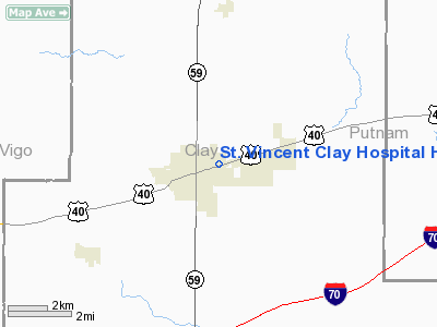
St Vincent Clay Hospital Heliport |
Location & QuickFacts
|
FAA
Information Effective: |
2008-06-05 |
|
Airport
Identifier: |
IN48 |
| Airport
Status: |
Operational |
|
Longitude/Latitude: |
087-06-42.0000W/39-31-40.0000N
-87.111667/39.527778 (Estimated) |
|
Elevation: |
675
ft / 205.74 m (Estimated) |
|
Land: |
0 acres |
| From
nearest city: |
2
nautical miles W of Brazil, IN |
|
Location: |
Clay County, IN |
|
Magnetic Variation: |
() |
Owner & Manager
|
Ownership: |
Privately
owned |
| Owner: |
St.
Vincent Clay Hospital |
|
Address: |
1206 E. National Ave.
Brazil,
IN 47834 |
| Phone
number: |
812-448-2675 |
|
Manager: |
St. Vincent Clay Hospital |
| Address: |
1206
E. National Ave.
Brazil,
IN 47834 |
|
Phone
number: |
812-448-2675 |
Airport
Operations and Facilities
|
Airport
Use: |
Private |
|
Segmented
Circle: |
No |
| Control
Tower: |
No |
|
Sectional
chart: |
St Louis |
| Region: |
AGL
- Great Lakes |
|
Boundary
ARTCC: |
ZID - Indianapolis |
| Tie-in
FSS: |
HUF
- Terre Haute |
|
FSS Toll
Free: |
1-800-WX-BRIEF |
|
Runway Information
Helipad H1
|
Dimension: |
54 x 54 ft /
16.5 x 16.5 m |
|
Surface: |
CONC, |
|
|
Runway H1 |
Runway |
| Traffic
Pattern: |
Left |
Left |
|
Radio Navigation Aids
|
ID |
Type |
Name |
Ch |
Freq |
Var |
Dist |
| HU |
NDB |
Yinno |
|
245.00 |
02W |
15.7
nm |
|
TVX |
NDB |
Greencastle |
|
521.00 |
03W |
18.0 nm |
| PRG |
NDB |
Paris |
|
341.00 |
01E |
28.0
nm |
|
CFJ |
NDB |
Crawfordsville |
|
388.00 |
02W |
28.7 nm |
| SIV |
NDB |
Sullivan |
|
326.00 |
02W |
29.4
nm |
|
BM |
NDB |
Claye |
|
382.00 |
02W |
37.0 nm |
| PLX |
NDB |
Palestine |
|
391.00 |
00W |
39.5
nm |
|
CZB |
NDB |
Casey |
|
359.00 |
00E |
43.5 nm |
| HZP |
NDB |
Zionsville |
|
248.00 |
03W |
46.9
nm |
|
HFY |
NDB |
Greenwood |
|
398.00 |
02W |
47.7 nm |
| HMJ |
NDB |
Homer |
|
281.00 |
01E |
49.1
nm |
|
MT |
NDB |
Zebre |
|
347.00 |
00E |
49.5 nm |
| DCY |
NDB |
Washington |
|
212.00 |
03W |
50.0
nm |
|
RSV |
VOR/DME |
Robinson |
021X |
108.40 |
02E |
39.5 nm |
| TTH |
VORTAC |
Terre
Haute |
100X |
115.30 |
02E |
6.8
nm |
|
OOM |
VORTAC |
Hoosier |
039X |
110.20 |
02W |
32.7 nm |
| VHP |
VORTAC |
Brickyard |
110X |
116.30 |
01E |
38.5
nm |
|
IND |
VOT |
Indianapolis Intl |
|
109.60 |
|
40.1 nm |
Remarks
- PRVDD
APCH/DEP OPNS FROM 330 TO 140 AND FROM 200 TO 230; AREA IS MARKED; WIND
INDICATOR IS MAINTAINED; AND SEVERAL LIGHT POLES AND TREE ARE LOWERED
TO 8 FT.
St Vincent Clay Hospital Heliport
Address:
Clay County, IN
Tel:
812-448-2675
Images
and information placed above are from
http://www.airport-data.com/airport/IN48/
We
thank them for the data!
We don't guarantee the information is fresh and accurate. The data may
be wrong or outdated.
For more up-to-date information please refer to other sources.
|
|


