 |
|
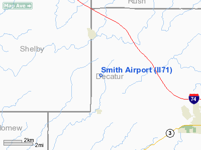
Location & QuickFacts
|
FAA
Information Effective: |
2008-06-05 |
|
Airport
Identifier: |
II71 |
| Airport
Status: |
Operational |
|
Longitude/Latitude: |
085-37-01.9110W/39-23-11.1780N
-85.617198/39.386438 (Estimated) |
|
Elevation: |
900
ft / 274.32 m (Estimated) |
|
Land: |
0 acres |
| From
nearest city: |
3
nautical miles S of St Paul, IN |
|
Location: |
Decatur County, IN |
|
Magnetic Variation: |
02W
(1985) |
Owner
& Manager
|
Ownership: |
Privately
owned |
|
Owner: |
Frank
J. Smith |
|
Address: |
Rr 1
St. Paul, IN 47272 |
|
Phone number: |
812-663-5859 |
|
Address: |
|
Airport Operations and Facilities
|
Airport
Use: |
Private |
|
Wind indicator: |
Yes |
|
Segmented Circle: |
No |
|
Control
Tower: |
No |
| Landing
fee charge: |
No |
|
Sectional
chart: |
Cincinnati |
| Region: |
AGL
- Great Lakes |
|
Boundary
ARTCC: |
ZID - Indianapolis |
| Tie-in
FSS: |
HUF
- Terre Haute |
|
FSS on Airport: |
No |
| FSS
Toll Free: |
1-800-WX-BRIEF |
|
Runway Information
Runway 18/36
|
Dimension: |
2100 x 40 ft
/ 640.1 x 12.2 m |
| Surface: |
TURF,
|
|
|
Runway 18 |
Runway 36 |
|
Traffic Pattern: |
Left |
Left |
|
Obstruction: |
40
ft pline, 600.0 ft from runway |
40
ft pline, 1200.0 ft from runway |
|
Radio Navigation Aids
|
ID |
Type |
Name |
Ch |
Freq |
Var |
Dist |
| BA |
NDB |
Clifs |
|
410.00 |
03W |
10.1
nm |
|
HLB |
NDB |
Batesville |
|
254.00 |
02W |
16.8 nm |
| OVO |
NDB |
North
Vernon |
|
374.00 |
02W |
20.3
nm |
|
HFY |
NDB |
Greenwood |
|
398.00 |
02W |
26.5 nm |
| UWL |
NDB |
New
Castle |
|
385.00 |
02W |
32.7
nm |
|
EQZ |
NDB |
Captain |
|
308.00 |
02W |
35.3 nm |
| IMS |
NDB |
Madison |
|
404.00 |
03W |
38.3
nm |
|
UMP |
NDB |
Metropolitan |
|
338.00 |
03W |
38.7 nm |
| OXD |
NDB |
Oxford |
|
282.00 |
04W |
39.5
nm |
|
AI |
NDB |
Video |
|
371.00 |
03W |
41.4 nm |
| HZP |
NDB |
Zionsville |
|
248.00 |
03W |
44.3
nm |
|
UR |
NDB |
Burln |
|
321.00 |
04W |
44.3 nm |
| HAO |
NDB |
Hamilton |
|
260.00 |
04W |
48.6
nm |
|
BM |
NDB |
Claye |
|
382.00 |
02W |
49.8 nm |
| SHB |
VORTAC |
Shelbyville |
057X |
112.00 |
01E |
17.6
nm |
|
RID |
VORTAC |
Richmond |
043X |
110.60 |
03W |
42.3 nm |
| VHP |
VORTAC |
Brickyard |
110X |
116.30 |
01E |
43.2
nm |
|
ABB |
VORTAC |
Nabb |
071X |
112.40 |
01E |
48.0 nm |
| CVG |
VORTAC |
Cincinnati |
120X |
117.30 |
04W |
48.0
nm |
|
OOM |
VORTAC |
Hoosier |
039X |
110.20 |
02W |
48.6 nm |
| IND |
VOT |
Indianapolis
Intl |
|
109.60 |
|
37.0
nm |
Remarks
- FILED
FOR RECORD PURPOSES ONLY.
Based Aircraft
|
Aircraft
based on field: |
1 |
|
Single Engine Airplanes: |
1 |
Smith Airport
Address:
Decatur County, IN
Tel:
812-663-5859
Images
and information placed above are from
http://www.airport-data.com/airport/II71/
We
thank them for the data!
| General
Info |
| Country |
United
States |
| State |
INDIANA
|
| FAA ID |
II71 |
| Latitude |
39-23-11.178N
|
| Longitude |
085-37-01.911W
|
| Elevation |
900 feet
|
| Near City |
ST PAUL
|
We don't guarantee the information is fresh and accurate. The data may
be wrong or outdated.
For more up-to-date information please refer to other sources.
|
|


