 |
|
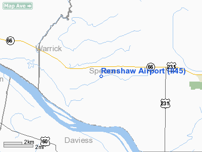
Location
& QuickFacts
|
FAA
Information Effective: |
2008-06-05 |
|
Airport
Identifier: |
II45 |
|
Airport
Status: |
Operational |
|
Longitude/Latitude: |
087-11-24.0010W/37-53-33.1700N
-87.190000/37.892547 (Estimated) |
|
Elevation: |
380 ft / 115.82 m (Estimated) |
|
Land: |
0 acres |
|
From nearest
city: |
2 nautical miles SE of Hatfield, IN |
|
Location: |
Spencer County, IN |
|
Magnetic
Variation: |
01W (1985) |
Owner & Manager
|
Ownership: |
Privately
owned |
|
Owner: |
Jerry D. Renshaw |
|
Address: |
Rr 2, Box 9
Richland, IN 47634 |
|
Phone
number: |
812-359-4510 |
|
Address: |
|
Airport
Operations and Facilities
|
Airport
Use: |
Private |
|
Segmented
Circle: |
No |
|
Control
Tower: |
No |
|
Sectional
chart: |
St Louis |
|
Region: |
AGL - Great Lakes |
|
Boundary
ARTCC: |
ZID - Indianapolis |
|
Tie-in
FSS: |
HUF - Terre Haute |
|
FSS Toll
Free: |
1-800-WX-BRIEF |
|
Runway Information
Runway NE/SW
|
Dimension: |
900 x 75 ft
/ 274.3 x 22.9 m |
|
Surface: |
TURF, |
|
|
Runway NE |
Runway SW |
|
Traffic
Pattern: |
Left |
Left |
|
Radio Navigation
Aids
|
ID |
Type |
Name |
Ch |
Freq |
Var |
Dist |
|
PDW |
NDB |
Evansville |
|
284.00 |
00E |
18.4 nm |
|
TEL |
NDB |
Tell City |
|
206.00 |
02W |
24.8 nm |
|
FNZ |
NDB |
Ferdinand |
|
239.00 |
00E |
27.1 nm |
|
GVA |
NDB |
Geneva |
|
224.00 |
01W |
28.1 nm |
|
GMH |
NDB |
Muhlenberg |
|
362.00 |
01E |
40.0 nm |
|
TWT |
NDB |
Tradewater |
|
276.00 |
00E |
44.2 nm |
|
CUL |
NDB |
Carmi |
|
332.00 |
01W |
45.7 nm |
|
DCY |
NDB |
Washington |
|
212.00 |
03W |
48.4 nm |
|
RRJ |
NDB |
Oranj |
|
368.00 |
02W |
49.4 nm |
|
MYS |
VOR |
Mystic |
|
108.20 |
01W |
44.8 nm |
|
OWB |
VOR/DME |
Owensboro |
023X |
108.60 |
01E |
9.0 nm |
|
HNB |
VOR/DME |
Huntingburg |
029X |
109.20 |
00E |
24.2 nm |
|
PXV |
VORTAC |
Pocket City |
080X |
113.30 |
03E |
27.2 nm |
|
CCT |
VORTAC |
Central City |
035X |
109.80 |
01W |
30.9 nm |
Remarks
- OWNER
DESIRES AIRPORT NOT TO BE CHARTED.
- FILED
FOR RECORD PURPOSES ONLY.
Based Aircraft
|
Aircraft
based on field: |
1 |
|
Single Engine
Airplanes: |
1 |
Renshaw Airport
Address:
Spencer County, IN
Tel:
812-359-4510
Images
and information placed above are from
http://www.airport-data.com/airport/II45/
We
thank them for the data!
| General
Info |
| Country |
United
States |
| State |
INDIANA
|
| FAA ID |
II45 |
| Latitude |
37-53-33.170N
|
| Longitude |
087-11-24.001W
|
| Elevation |
380 feet
|
| Near City |
HATFIELD
|
We don't guarantee the information is fresh and accurate. The data may
be wrong or outdated.
For more up-to-date information please refer to other sources.
|
|


