 |
|
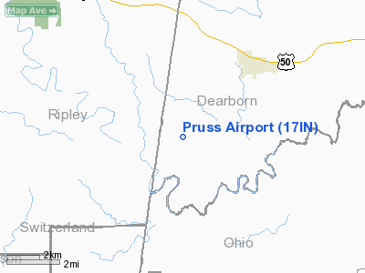
Location
& QuickFacts
|
FAA
Information Effective: |
2008-06-05 |
|
Airport
Identifier: |
17IN |
|
Airport
Status: |
Operational |
|
Longitude/Latitude: |
085-06-34.8370W/38-58-42.2060N
-85.109677/38.978391 (Estimated) |
|
Elevation: |
890 ft / 271.27 m (Estimated) |
|
Land: |
0 acres |
|
From nearest
city: |
1 nautical miles N of Farmers Retreat, IN |
|
Location: |
Dearborn County, IN |
|
Magnetic
Variation: |
03W (1985) |
Owner & Manager
|
Ownership: |
Privately
owned |
|
Owner: |
Barry Pruss |
|
Address: |
7153 State Road 62
Dillsboro, IN 47018 |
|
Phone
number: |
812-926-3407 |
|
Manager: |
Barry Pruss |
|
Address: |
7153 State Road 62
Dillsboro, IN 47018 |
|
Phone
number: |
812-926-3407 |
Airport
Operations and Facilities
|
Airport
Use: |
Private |
|
Wind indicator: |
Yes |
|
Segmented
Circle: |
No |
|
Control
Tower: |
No |
|
Sectional
chart: |
St Louis |
|
Region: |
AGL - Great Lakes |
|
Boundary
ARTCC: |
ZID - Indianapolis |
|
Tie-in
FSS: |
HUF - Terre Haute |
|
FSS on
Airport: |
No |
|
FSS Toll
Free: |
1-800-WX-BRIEF |
|
Runway Information
Runway NE/SW
|
Dimension: |
3100 x 60 ft
/ 944.9 x 18.3 m |
|
Surface: |
TURF, |
|
|
Runway NE |
Runway SW |
|
Traffic
Pattern: |
Left |
Left |
|
Radio Navigation
Aids
|
ID |
Type |
Name |
Ch |
Freq |
Var |
Dist |
|
UR |
NDB |
Burln |
|
321.00 |
04W |
16.2 nm |
|
IMS |
NDB |
Madison |
|
404.00 |
03W |
21.0 nm |
|
OVO |
NDB |
North Vernon |
|
374.00 |
02W |
23.3 nm |
|
HLB |
NDB |
Batesville |
|
254.00 |
02W |
23.4 nm |
|
HAO |
NDB |
Hamilton |
|
260.00 |
04W |
34.5 nm |
|
OXD |
NDB |
Oxford |
|
282.00 |
04W |
35.3 nm |
|
ISZ |
NDB |
Cincinnati-blue Ash |
|
388.00 |
04W |
37.3 nm |
|
LUK |
NDB |
Cincinnati |
|
335.00 |
04W |
37.5 nm |
|
MDE |
NDB |
Madeira |
|
379.00 |
04W |
38.1 nm |
|
BA |
NDB |
Clifs |
|
410.00 |
03W |
39.0 nm |
|
EQZ |
NDB |
Captain |
|
308.00 |
02W |
40.9 nm |
|
PWF |
NDB |
Sportys |
|
245.00 |
04W |
42.2 nm |
|
HKF |
NDB |
Hook Field |
|
239.00 |
04W |
43.9 nm |
|
FEU |
NDB |
Arnold |
|
521.00 |
03W |
47.9 nm |
|
FFT |
VOR |
Frankfort |
|
109.40 |
03W |
48.8 nm |
|
FLM |
VOR/DME |
Falmouth |
117X |
117.00 |
04W |
42.3 nm |
|
CVG |
VORTAC |
Cincinnati |
120X |
117.30 |
04W |
19.1 nm |
|
ABB |
VORTAC |
Nabb |
071X |
112.40 |
01E |
34.0 nm |
|
RID |
VORTAC |
Richmond |
043X |
110.60 |
03W |
48.3 nm |
|
LUK |
VOT |
Cincinnati Muni/lunken |
|
108.40 |
|
34.2 nm |
Remarks
- VFR
ONLY. PROVISIONS MADE TO ENSURE ROAD NOT USED FOR NON-AVIATION USE WHILE
ACFT OPERS IN PROGRESS.
Pruss Airport
Address:
Dearborn County, IN
Tel:
812-926-3407
Images
and information placed above are from
http://www.airport-data.com/airport/17IN/
We
thank them for the data!
| General
Info |
| Country |
United
States |
| State |
INDIANA
|
| FAA ID |
17IN |
| Latitude |
38-58-42.206N
|
| Longitude |
085-06-34.837W
|
| Elevation |
890 feet
|
| Near City |
FARMERS
RETREAT |
We don't guarantee the information is fresh and accurate. The data may
be wrong or outdated.
For more up-to-date information please refer to other sources.
|
|


