 |
|
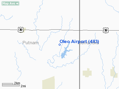
Location
& QuickFacts
|
FAA
Information Effective: |
2008-06-05 |
|
Airport
Identifier: |
4II3 |
|
Airport
Status: |
Operational |
|
Longitude/Latitude: |
086-43-47.0000W/39-44-11.0000N
-86.729722/39.736389 (Estimated) |
|
Elevation: |
870 ft / 265.18 m (Estimated) |
|
Land: |
0 acres |
|
From nearest
city: |
4 nautical miles N of Fillmore, IN |
|
Location: |
Putnam County, IN |
|
Magnetic
Variation: |
02W (1995) |
Owner
& Manager
|
Ownership: |
Privately
owned |
|
Owner: |
William A Roady |
|
Address: |
6819 E County Rd 500 N
Fillmore, IN 46128 |
|
Phone
number: |
317-522-3266 |
|
Manager: |
William A Roady |
|
Address: |
6819 E County Rd 500 N
Fillmore, IN 46128 |
|
Phone
number: |
317-522-3266 |
Airport Operations
and Facilities
|
Airport
Use: |
Private |
|
Segmented
Circle: |
No |
|
Control
Tower: |
No |
|
Sectional
chart: |
St Louis |
|
Region: |
AGL - Great Lakes |
|
Boundary
ARTCC: |
ZID - Indianapolis |
|
Tie-in
FSS: |
HUF - Terre Haute |
|
FSS on
Airport: |
No |
|
FSS Toll
Free: |
1-800-WX-BRIEF |
|
Runway Information
Runway 18/36
|
Dimension: |
1150 x 50 ft
/ 350.5 x 15.2 m |
|
Surface: |
TURF, |
|
|
Runway 18 |
Runway 36 |
|
Traffic
Pattern: |
Right |
Left |
|
Obstruction: |
50 ft trees, 400.0 ft from runway |
|
|
Radio Navigation
Aids
|
ID |
Type |
Name |
Ch |
Freq |
Var |
Dist |
|
TVX |
NDB |
Greencastle |
|
521.00 |
03W |
3.8 nm |
|
CFJ |
NDB |
Crawfordsville |
|
388.00 |
02W |
17.0 nm |
|
HZP |
NDB |
Zionsville |
|
248.00 |
03W |
25.3 nm |
|
HFY |
NDB |
Greenwood |
|
398.00 |
02W |
30.2 nm |
|
FKR |
NDB |
Frankfort |
|
278.00 |
02W |
33.0 nm |
|
UMP |
NDB |
Metropolitan |
|
338.00 |
03W |
33.6 nm |
|
HU |
NDB |
Yinno |
|
245.00 |
02W |
37.4 nm |
|
BM |
NDB |
Claye |
|
382.00 |
02W |
41.3 nm |
|
PRG |
NDB |
Paris |
|
341.00 |
01E |
43.7 nm |
|
BA |
NDB |
Clifs |
|
410.00 |
03W |
49.0 nm |
|
VHP |
VORTAC |
Brickyard |
110X |
116.30 |
01E |
17.4 nm |
|
TTH |
VORTAC |
Terre Haute |
100X |
115.30 |
02E |
28.3 nm |
|
OOM |
VORTAC |
Hoosier |
039X |
110.20 |
02W |
36.0 nm |
|
SHB |
VORTAC |
Shelbyville |
057X |
112.00 |
01E |
42.3 nm |
|
IND |
VOT |
Indianapolis Intl |
|
109.60 |
|
20.6 nm |
Remarks
- PRVDD
AREA 125 FT EITHER SIDE OF RY & 200 FT OFF RY ENDS BE CLEAR; ANY
OBSTN LOWERED OR REMOVED OR THLD DSPLCD TO PRVD A CLEAR 20:1 APCH; AREA
60 FT EITHER SIDE OF RY & 240 FT OFF RY ENDS CLEAR OR GRADED WITH
NO RUTS, HUMPS OR DEPRESSIONS.
Based Aircraft
|
Aircraft
based on field: |
1 |
|
Single Engine
Airplanes: |
1 |
Oleo Airport
Address:
Putnam County, IN
Tel:
317-522-3266
Images
and information placed above are from
http://www.airport-data.com/airport/4II3/
We
thank them for the data!
| General
Info |
| Country |
United
States |
| State |
INDIANA
|
| FAA ID |
4II3 |
| Latitude |
39-44-11.000N
|
| Longitude |
086-43-47.000W
|
| Elevation |
870 feet
|
| Near City |
FILLMORE
|
We don't guarantee the information is fresh and accurate. The data may
be wrong or outdated.
For more up-to-date information please refer to other sources.
|
|


