|
|
New Castle - Henry County Municipal Airport |
|
 |
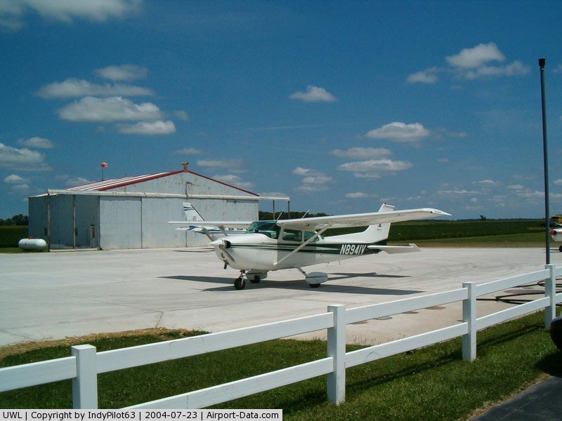
(Click on the photo to enlarge) |
|
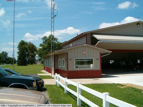 |
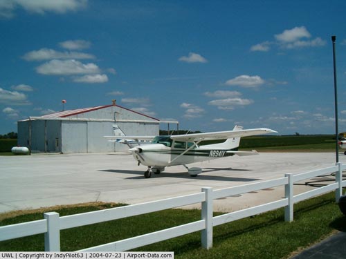
(Click on the photo to enlarge) |
Location
& QuickFacts
|
FAA
Information Effective: |
2008-06-05 |
|
Airport
Identifier: |
UWL |
|
Airport
Status: |
Operational |
|
Longitude/Latitude: |
085-19-35.2850W/39-52-33.0660N
-85.326468/39.875852 (Estimated) |
|
Elevation: |
1088 ft / 331.62 m (Surveyed) |
|
Land: |
32 acres |
|
From nearest
city: |
4 nautical miles SE of New Castle, IN |
|
Location: |
Henry County, IN |
|
Magnetic
Variation: |
02W (1980) |
Owner
& Manager
|
Ownership: |
Publicly
owned |
|
Owner: |
New Castle-henry County
AIRPORT OWNED BY MR. MARLATT, RUNWAY OWNED BY CITY OF NEW
CASTLE, HENRY CO. |
|
Address: |
2912 E. Co. Rd. 400 S.
New Castle, IN 47362 |
|
Phone
number: |
765-529-7903 |
|
Manager: |
John Marlatt |
|
Address: |
2912 E. Co. Rd. 400 S.
New Castle, IN 47362 |
|
Phone
number: |
765-529-7903
OR 765-529-7909. |
Airport Operations
and Facilities
|
Airport
Use: |
Open
to public |
|
Wind indicator: |
Yes |
|
Segmented
Circle: |
No |
|
Control
Tower: |
No |
|
Lighting
Schedule: |
DUSK-DAWN
MIRL RY 09/27 PRESET ON LOW INTST; TO INCR INTST & ACTVT
PAPI RYS 09 & 27; REIL RYS 09 & 27 - CTAF. |
|
Beacon
Color: |
Clear-Green (lighted land airport) |
|
Landing
fee charge: |
No |
|
Sectional
chart: |
St Louis |
|
Region: |
AGL - Great Lakes |
|
Boundary
ARTCC: |
ZID - Indianapolis |
|
Tie-in
FSS: |
HUF - Terre Haute |
|
FSS on
Airport: |
No |
|
FSS Toll
Free: |
1-800-WX-BRIEF |
|
NOTAMs
Facility: |
HUF (NOTAM-d service avaliable) |
|
Federal
Agreements: |
N |
Airport Communications
|
CTAF: |
123.050 |
|
Unicom: |
123.050
|
Airport
Services
|
Fuel
available: |
100LLA |
|
Airframe
Repair: |
MINOR |
|
Power
Plant Repair: |
MINOR |
|
Bottled
Oxygen: |
NONE |
|
Runway Information
Runway 09/27
|
Dimension: |
4002 x 65 ft
/ 1219.8 x 19.8 m |
|
Surface: |
ASPH, Good Condition |
|
Weight Limit: |
Single wheel: 6000 lbs. |
|
Edge Lights: |
Medium |
|
|
Runway 09 |
Runway 27 |
|
Longitude: |
085-20-00.9170W |
085-19-09.5970W |
|
Latitude: |
39-52-33.4880N |
39-52-32.5490N |
|
Elevation: |
1074.00 ft |
1088.00 ft |
|
Alignment: |
91 |
127 |
|
Traffic
Pattern: |
Left |
Left |
|
Markings: |
Non-precision instrument, Good Condition
RY 09/27 MARKINGS FADED. |
Non-precision instrument, Good Condition |
|
Crossing
Height: |
40.00 ft |
40.00 ft |
|
Displaced
threshold: |
89.00 ft |
322.00 ft |
|
VASI: |
2-light PAPI on left side |
2-light PAPI on left side |
|
Visual Glide
Angle: |
3.00° |
3.00° |
|
Runway End
Identifier: |
Yes |
Yes |
|
Centerline
Lights: |
No |
No |
|
Touchdown
Lights: |
No |
No |
|
Obstruction: |
11 ft road, 202.0 ft from runway
APCH RATIO 26:1 AT DSPLCD THR.
10 FT CROPS 115' FM RY END. |
10 ft crops, 201.0 ft from runway
APCH RATIO 50:1 AT DSPLCD THR.
RWY 27 15 FT ROAD 55' FM RY END. CROPS 79' FM RY END. |
|
Radio Navigation
Aids
|
ID |
Type |
Name |
Ch |
Freq |
Var |
Dist |
|
UWL |
NDB |
New Castle |
|
385.00 |
02W |
0.4 nm |
|
AI |
NDB |
Video |
|
371.00 |
03W |
14.4 nm |
|
HLB |
NDB |
Batesville |
|
254.00 |
02W |
31.8 nm |
|
UMP |
NDB |
Metropolitan |
|
338.00 |
03W |
33.6 nm |
|
OXD |
NDB |
Oxford |
|
282.00 |
04W |
33.6 nm |
|
PLD |
NDB |
Portland |
|
257.00 |
03W |
38.1 nm |
|
HFY |
NDB |
Greenwood |
|
398.00 |
02W |
38.2 nm |
|
BA |
NDB |
Clifs |
|
410.00 |
03W |
40.3 nm |
|
VES |
NDB |
Versailles |
|
356.00 |
04W |
42.0 nm |
|
HZP |
NDB |
Zionsville |
|
248.00 |
03W |
42.7 nm |
|
HAO |
NDB |
Hamilton |
|
260.00 |
04W |
46.2 nm |
|
HKF |
NDB |
Hook Field |
|
239.00 |
04W |
46.5 nm |
|
MIE |
VOR/DME |
Muncie |
091X |
114.40 |
03W |
21.9 nm |
|
MZZ |
VOR/DME |
Marion |
023X |
108.60 |
03W |
40.5 nm |
|
DQN |
VOR/DME |
Dayton |
092X |
114.50 |
01W |
43.7 nm |
|
RID |
VORTAC |
Richmond |
043X |
110.60 |
03W |
23.7 nm |
|
SHB |
VORTAC |
Shelbyville |
057X |
112.00 |
01E |
27.3 nm |
|
VHP |
VORTAC |
Brickyard |
110X |
116.30 |
01E |
48.2 nm |
|
IND |
VOT |
Indianapolis Intl |
|
109.60 |
|
45.1 nm |
Remarks
- SEASONAL
CROPS 112'L/R OF RWY CL ENTIRE LENGTH WITHIN PRIM SFC.
- ESTAB
PRIOR TO 1959.
Based Aircraft
|
Aircraft
based on field: |
30 |
|
Single Engine
Airplanes: |
25 |
|
Multi Engine Airplanes: |
4 |
|
Ultralights: |
1 |
Operational Statistics
Time
Period: 2006-01-01 - 2006-12-31
|
Aircraft
Operations: |
210/Week |
|
Air Taxi: |
3.9% |
|
General Aviation
Local: |
80.1% |
|
General Aviation
Itinerant: |
16.0% |
New Castle-henry County Municipal Airport
Address:
Henry County, IN
Tel:
765-529-7903,
765-529-7909
Images
and information placed above are from
http://www.airport-data.com/airport/UWL/
We
thank them for the data!
| General
Info |
| Country |
United
States |
| State |
INDIANA
|
| FAA ID |
UWL |
| Latitude |
39-52-33.066N
|
| Longitude |
085-19-35.285W
|
| Elevation |
1088 feet
|
| Near City |
NEW CASTLE
|
We don't guarantee the information is fresh and accurate. The data may
be wrong or outdated.
For more up-to-date information please refer to other sources.
|
|